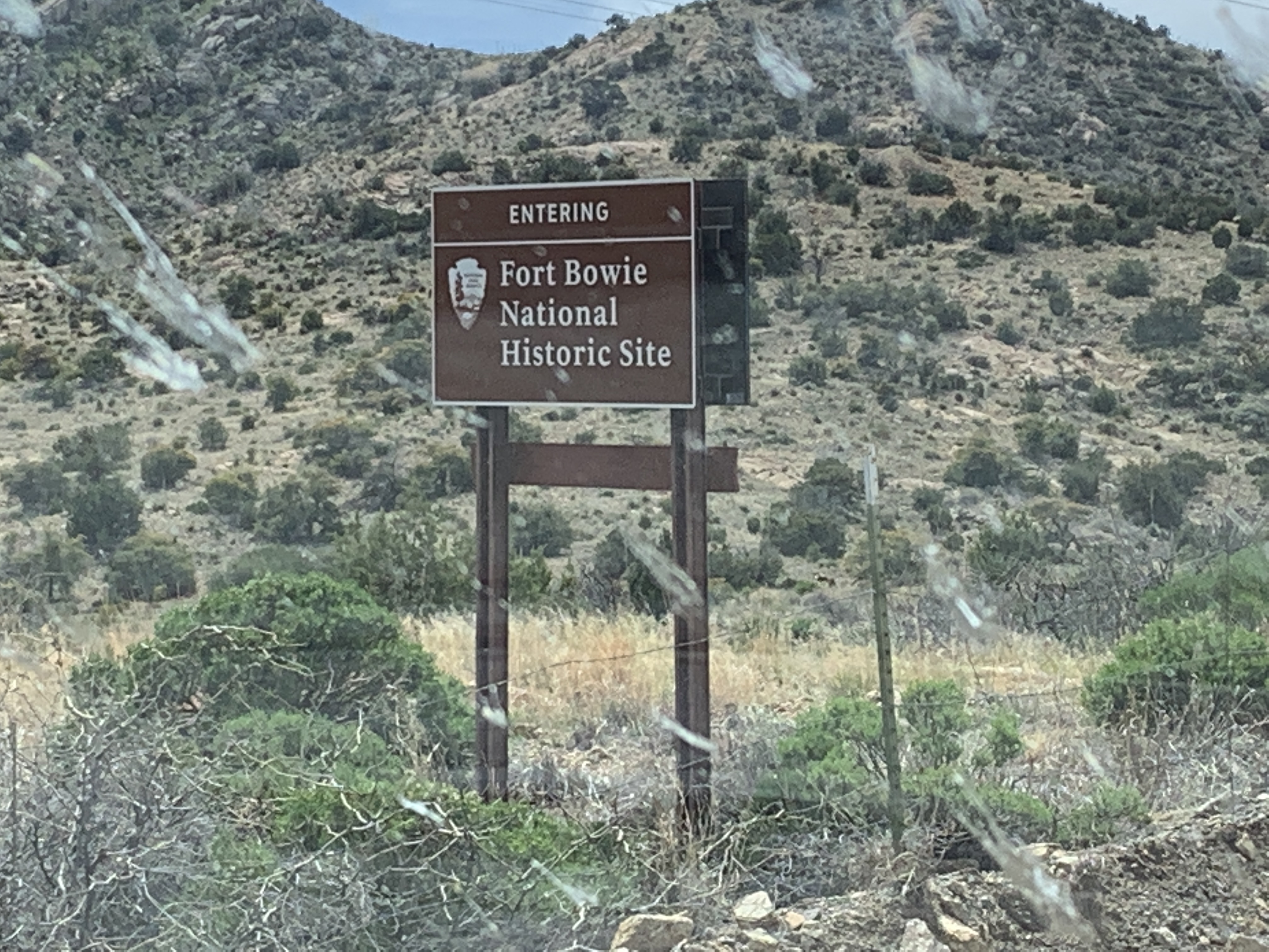
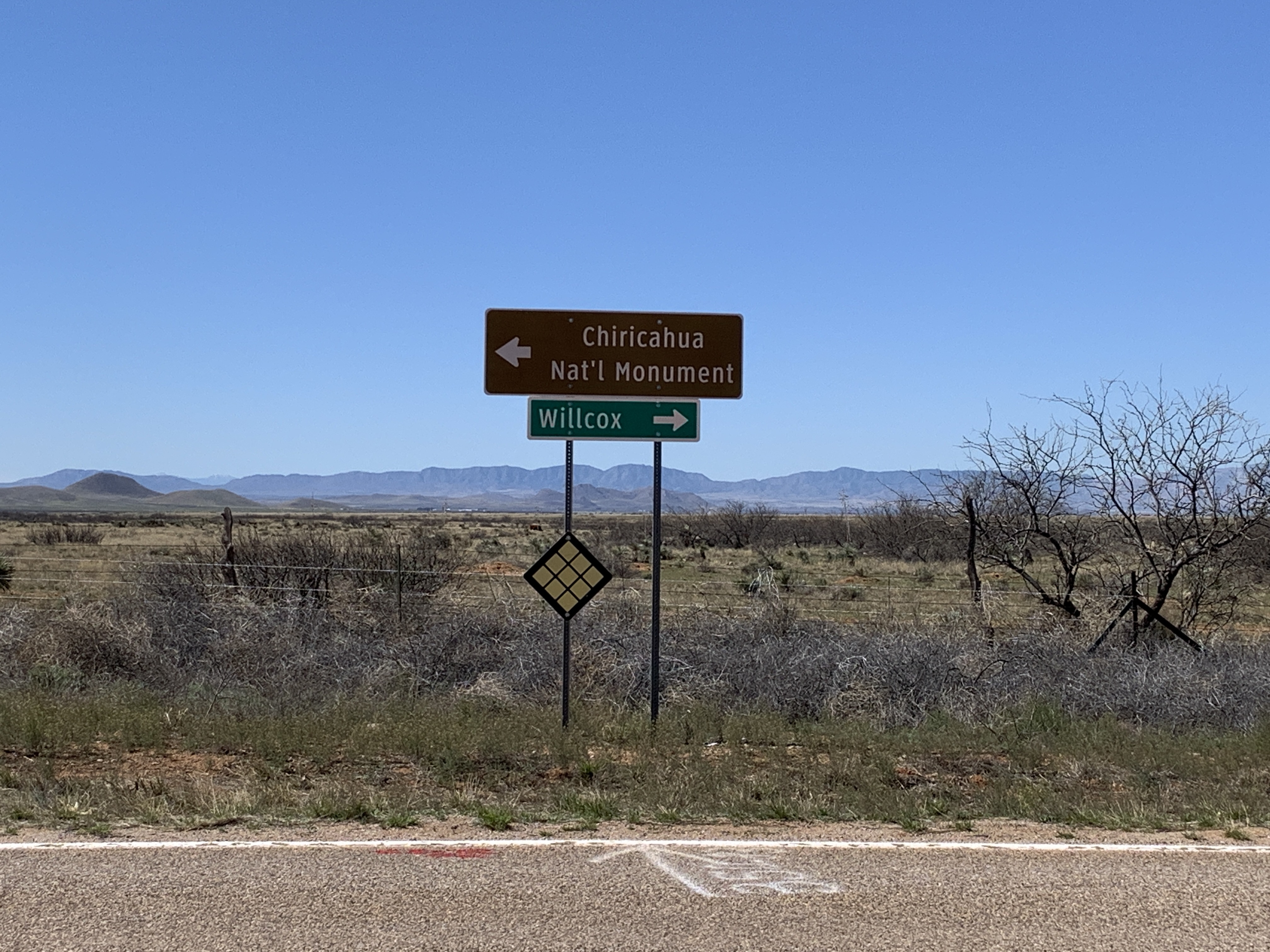
As we made our way west, homeward bound, we continued to try and avoid population centers. We detoured off I-10 at Bowie, AZ and headed south toward Ft. Bowie National Historical Site, down a long, slow, gravel, washboardy road (thanks again, Google Maps!).
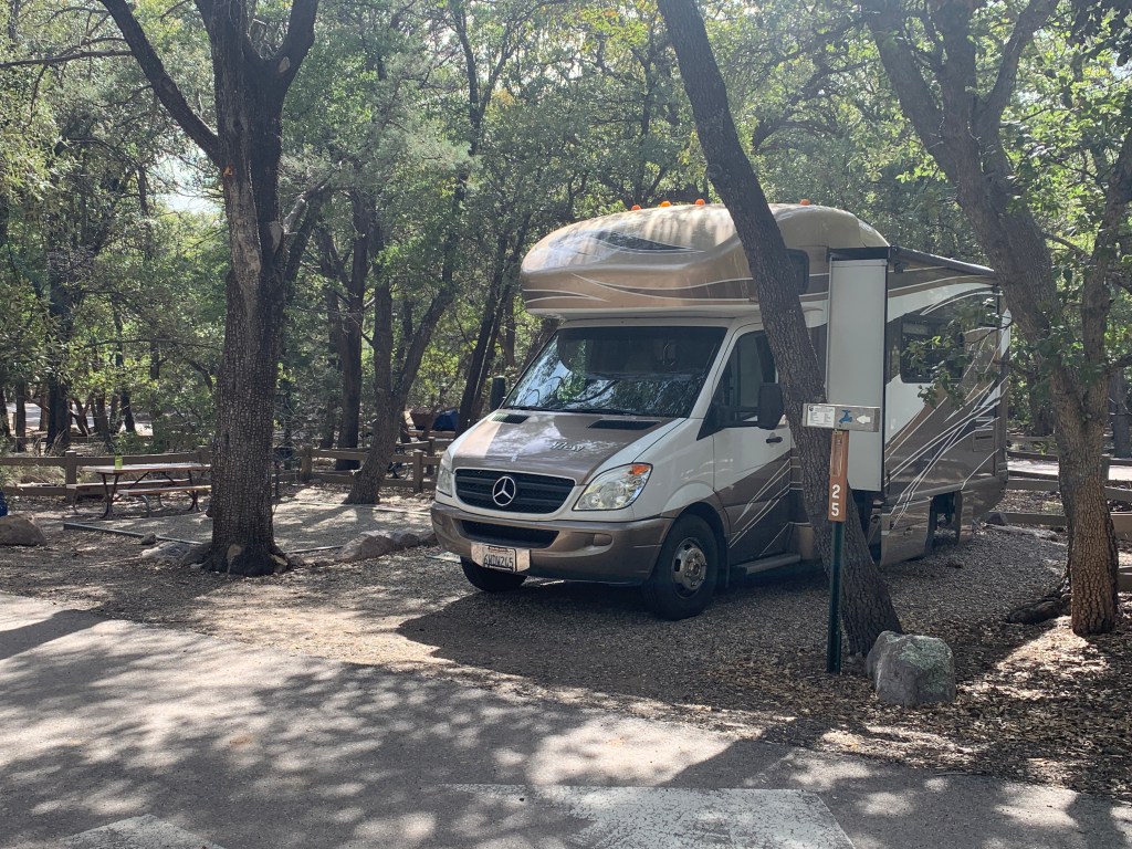
There were quite a few cars there, and our ultimate destination was Chiricahua National Monument on the other side of a small range, so we passed it and I kept on going. When we arrived at Chiricahua, the park was open, no services, and the campground was still open (surprisingly). We snagged one of the last 2 sites, set up and went for a hike.
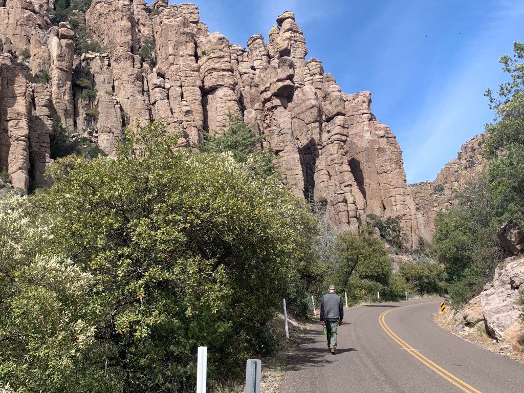
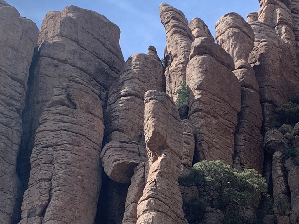
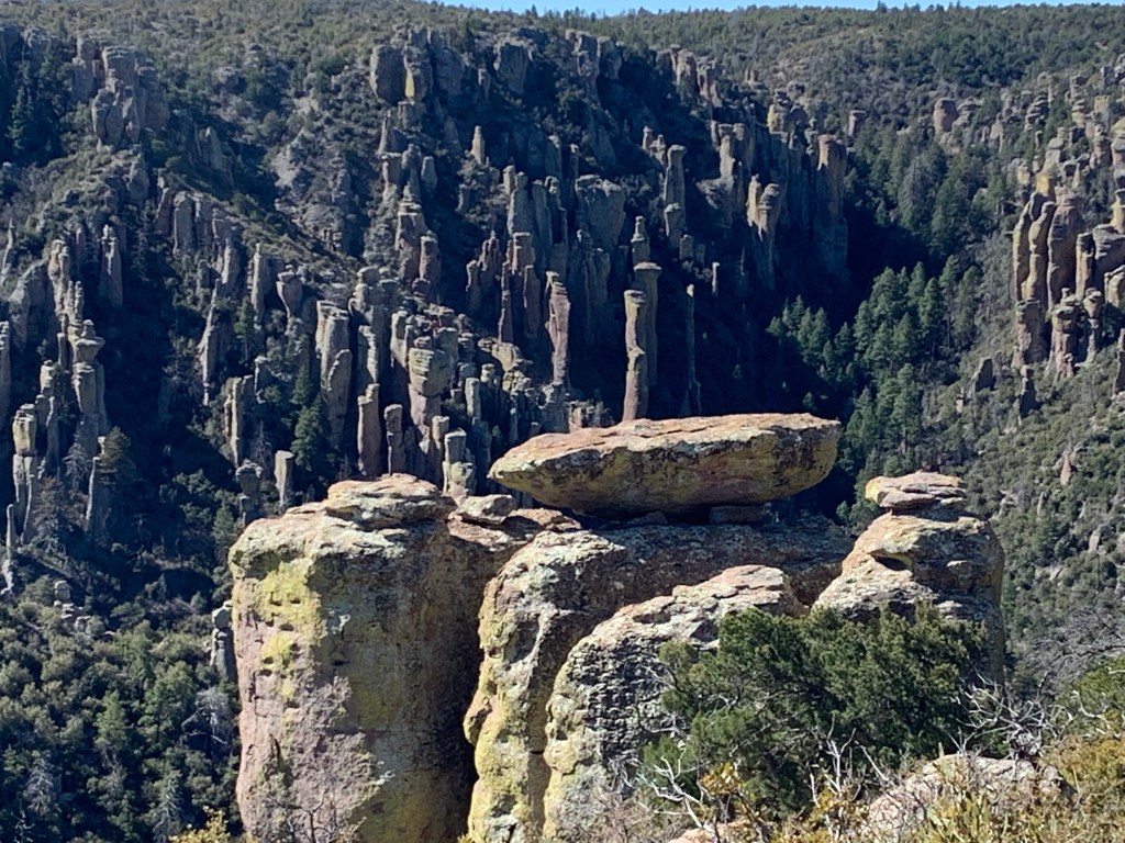
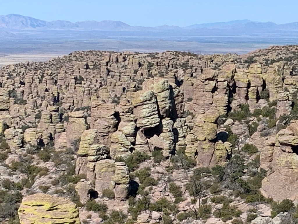
The Monument boasts of huge rock formations, similar to the hoodoos in Canyonlands NP. There were some called Organ Pipe Rocks, and the photos don’t really do them justice with respect to their size. This place is pretty far off the beaten track and even though the campground was just about full, people were hunkered down and visitors to the park were scarce.
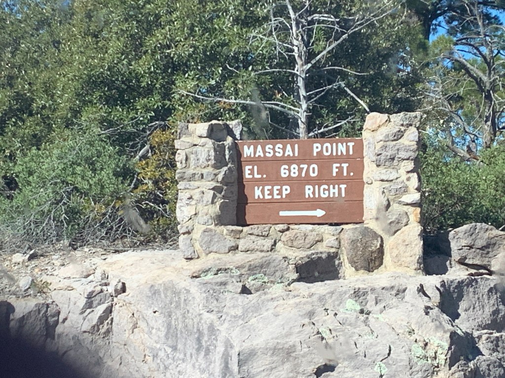
After a completely silent and soundless night, we packed up and drove our rig to the top of the park which is the top of a peak with some trailheads and an incredible view all the way down towards Tucson (clear air=great visibility).
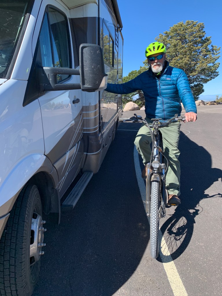
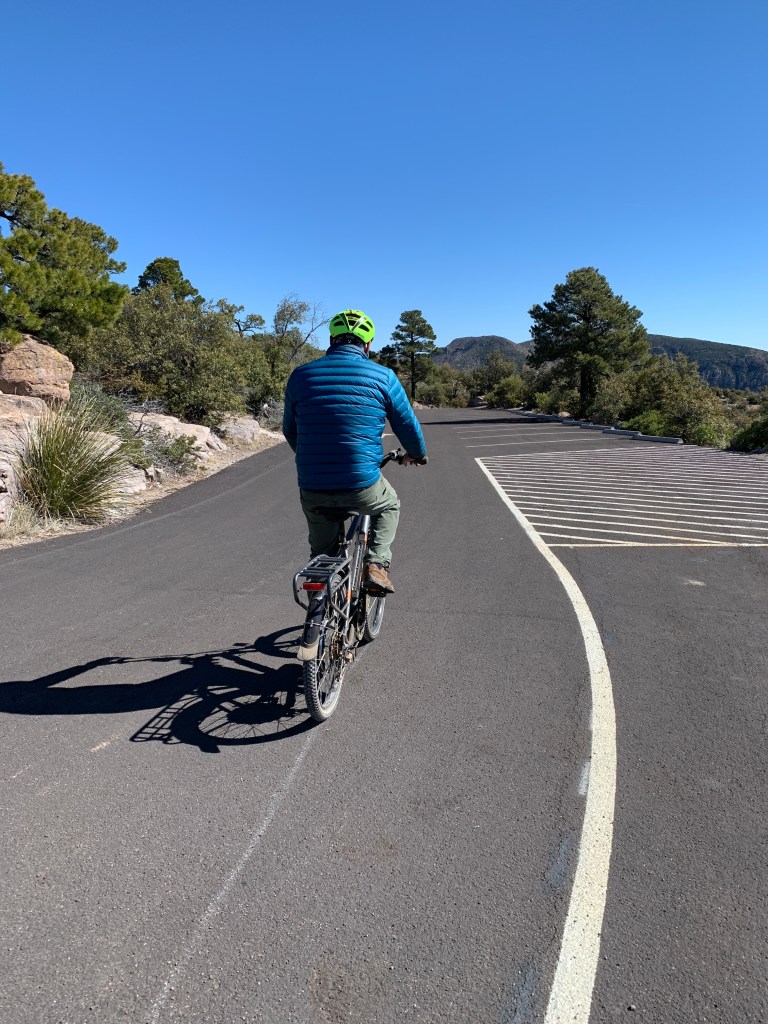
We hiked a little and then John got his bike down and prepared for a ride down to the bottom, about 9 miles of steep, winding, breathtaking roadway. I followed in the RV, white knuckled, cause the cliff was on my side. Also, quite glad no one was in the park, so I didn’t have to pass any cars! If you’re familiar with the road up to Marin Headlands, in the Bay Area, this was like that road, only longer and hairier.
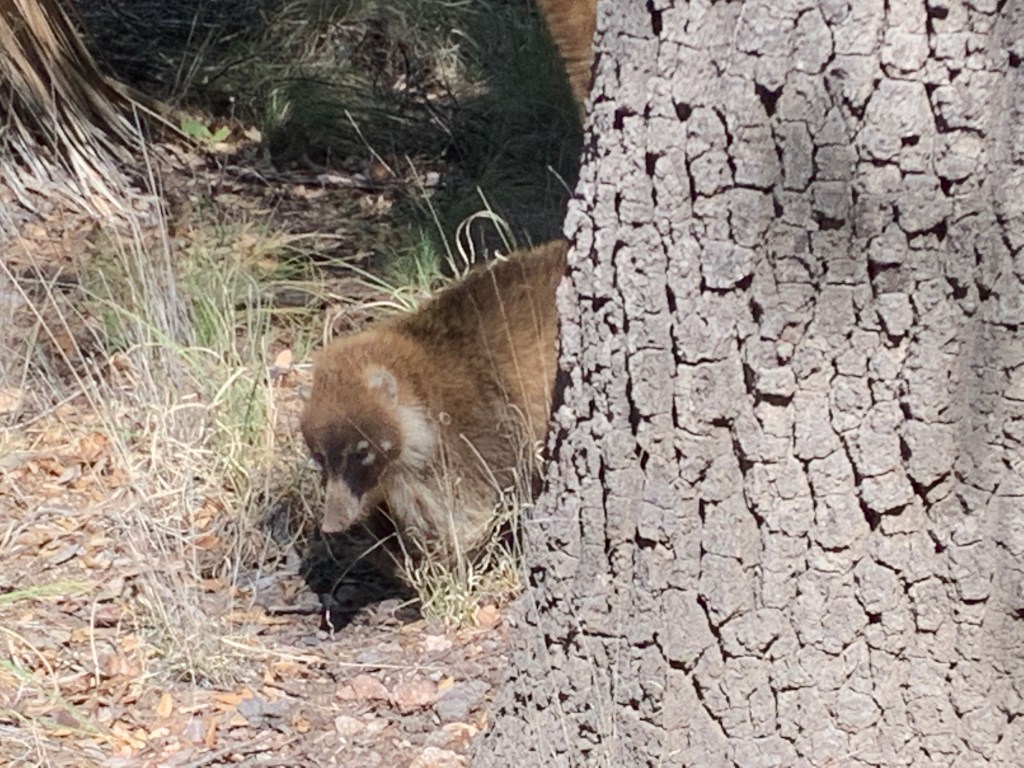
Once we successfully got to the bottom, we met at the closed visitor’s center to reload the bike and take off. As we were driving out, we saw a passel of critters that I’ve never seen before, and could not identify. They looked like a large ringtail but weren’t exactly that. They were digging around trees, and weren’t phased by our presence (vehicle stopped on the side of the road). Apparently, this is about as far north in latitude that these critters are found in the world, and we felt pretty lucky to see them.
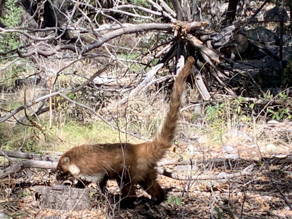
After shooting some photos from my window, we ventured off and I looked up what wildlife might be seen around these parts, and came up with the exact animal – a coatimundi, or coati for short. They actually are related to ringtails and raccoons, and were pretty trippy looking.
Just after that excitement, not a quarter mile down the road, we saw a vehicle going the other way, stopped, and they were looking at a pair of bobcats that had just crossed the road in front of them. We got there in time to see one of them as it disappeared up into the woods. Pretty exciting morning!!
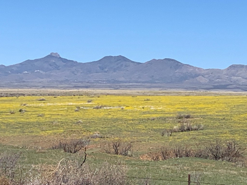
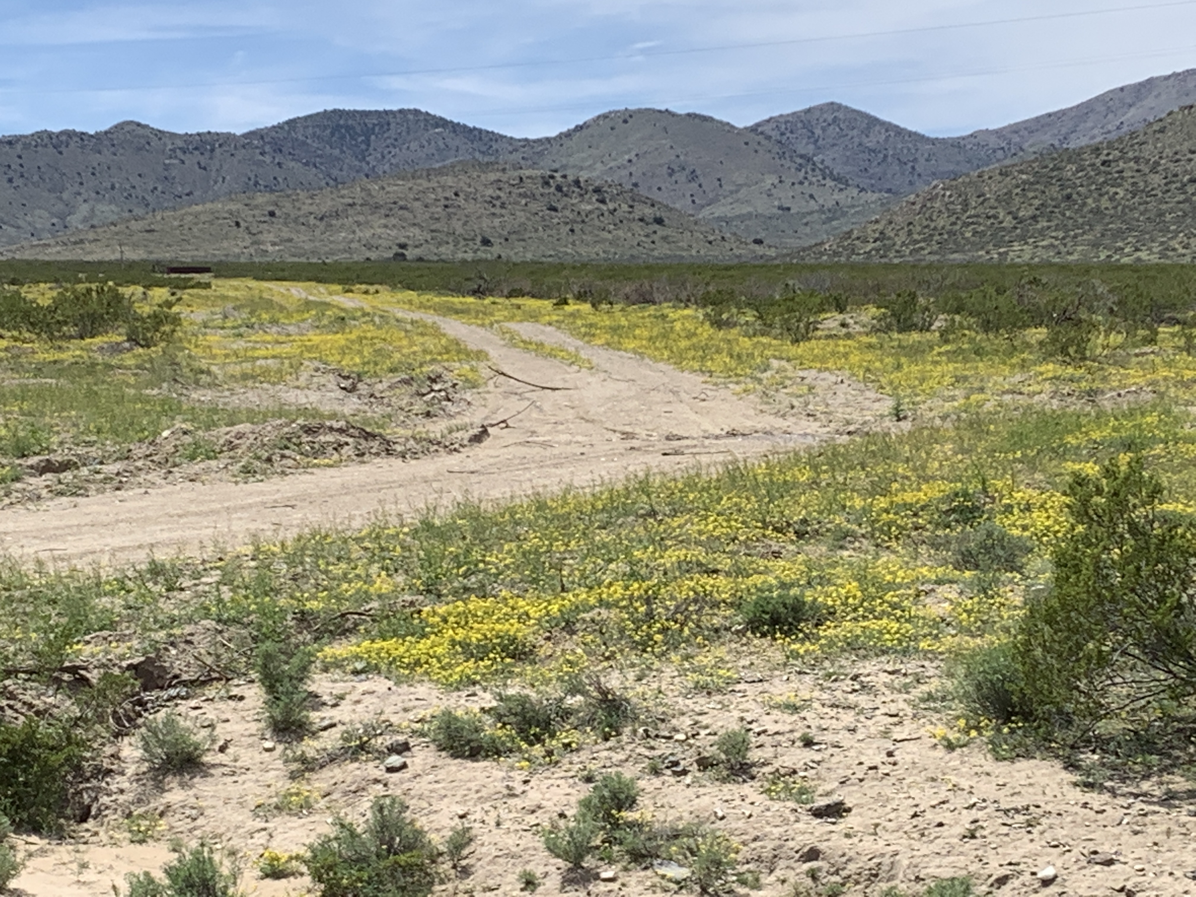
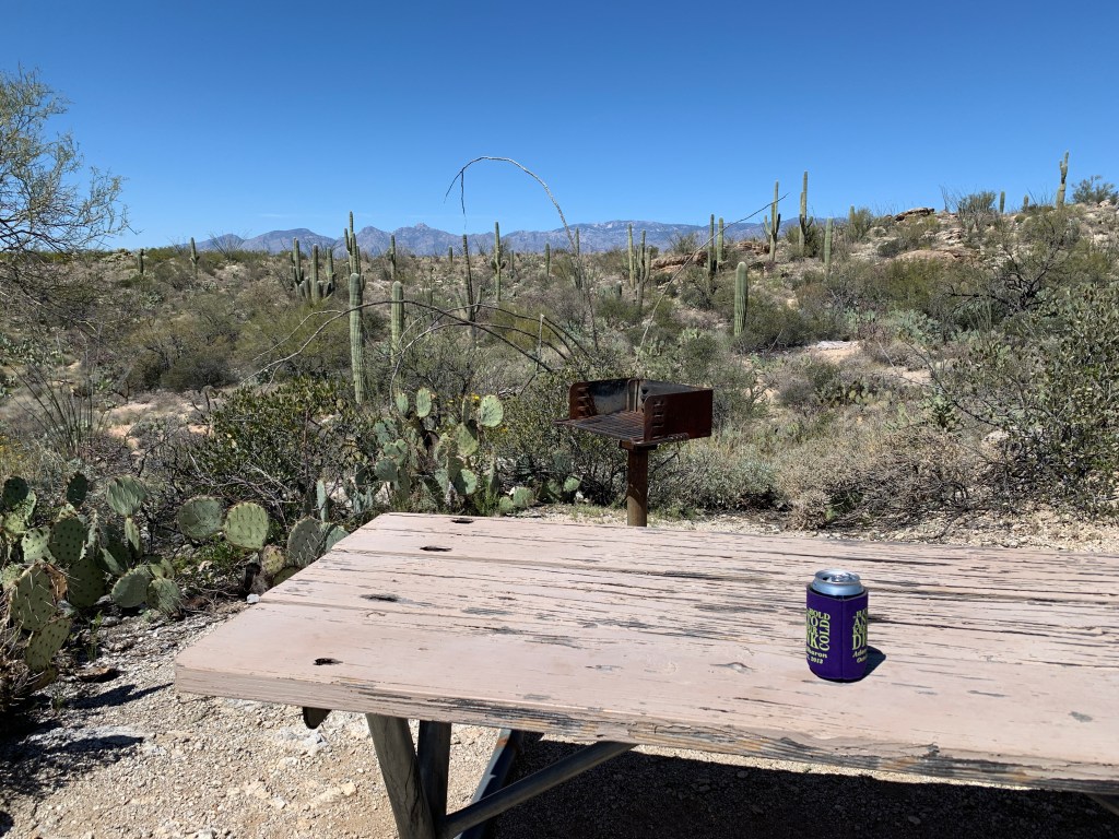
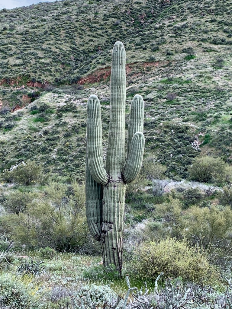
Out of the gorgeous canyon into a blue sky beautiful day, wildflowers everywhere, clear air, and wide open spaces. We drove on into Tucson, as we had an appointment the next morning to get something fixed that they had tried on our way east but didn’t work. Since we were kind of early, rather than going straight to the RV park we had reservations for, we decided to head up to Saguaro National Park East, and had a nice picnic lunch, and drove the 8 mile loop road. It was pretty, but I feel like we saw way more Saguaros when we were down in Organ Pipe Cactus National Monument.
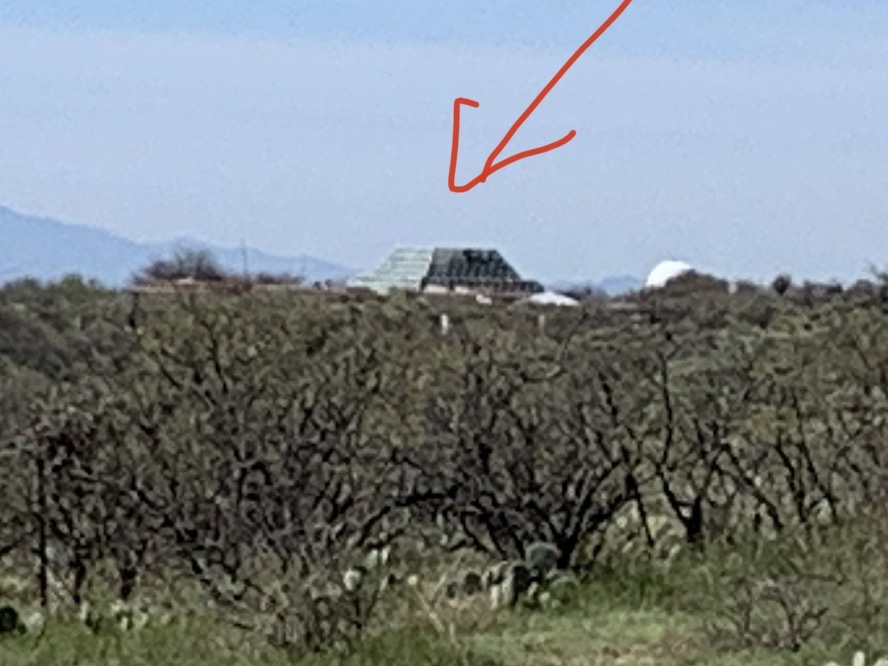
The next morning, we got our fix done, and decided to head north out of Tucson rather than back on the interstate. The road we took went by the Biosphere 2, which we turned off to see, but found it was shut down. The Biosphere 2 is a science experiment, with controlled environments of 7 different ecosystems. It was started in the 70s, and is now operated by the University of Arizona as a research institute.

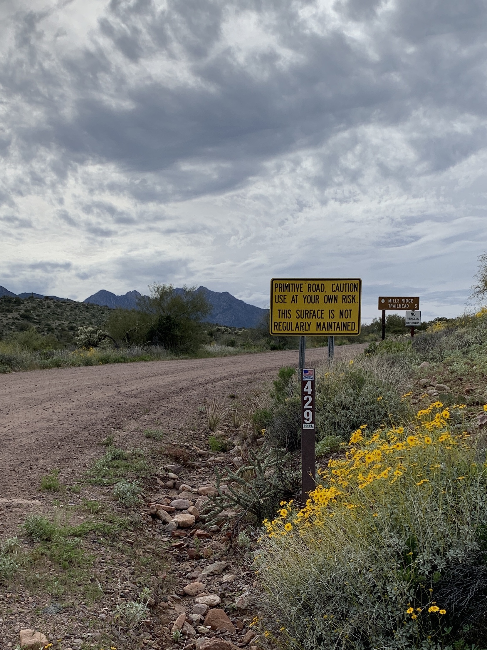
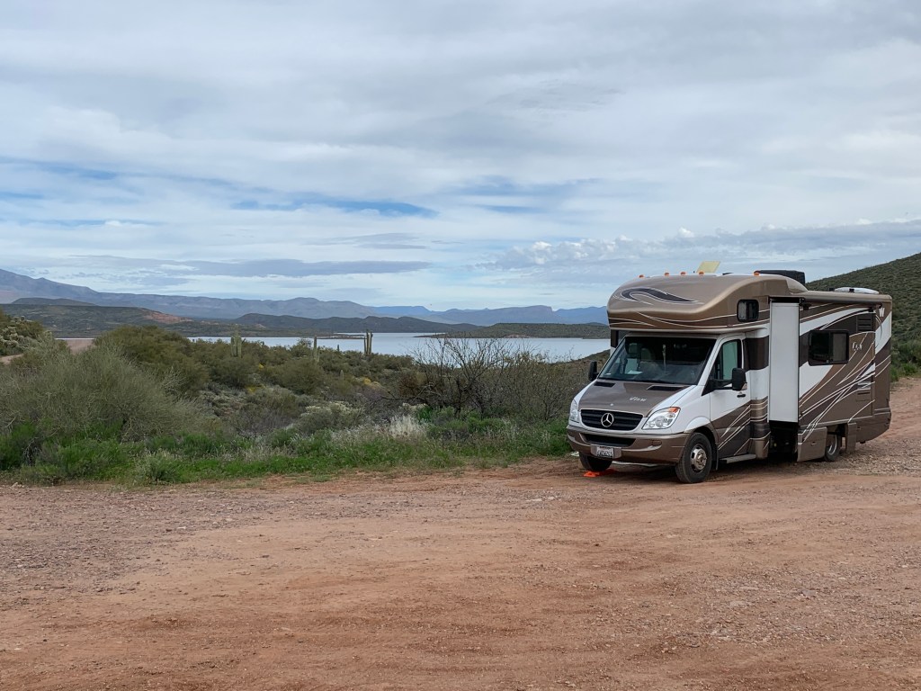
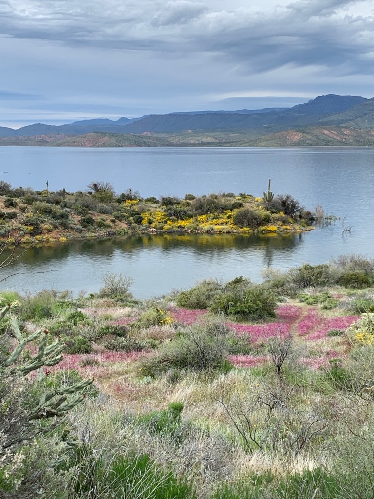
As we worked our way north, we began discovering that not only state campgrounds were closing, but all the federal recreation area campgrounds were as well. We stopped into one of those at Roosevelt Lake, and spoke to a campground host who had turned out all the campers the previous weekend upon receiving the closure orders. He suggested a few forest service roads to camp at up the lake’s shore where you could boondock (remember that’s camping without services, without fees, without structure). So off we went, and turned up off onto FS Rd 429.
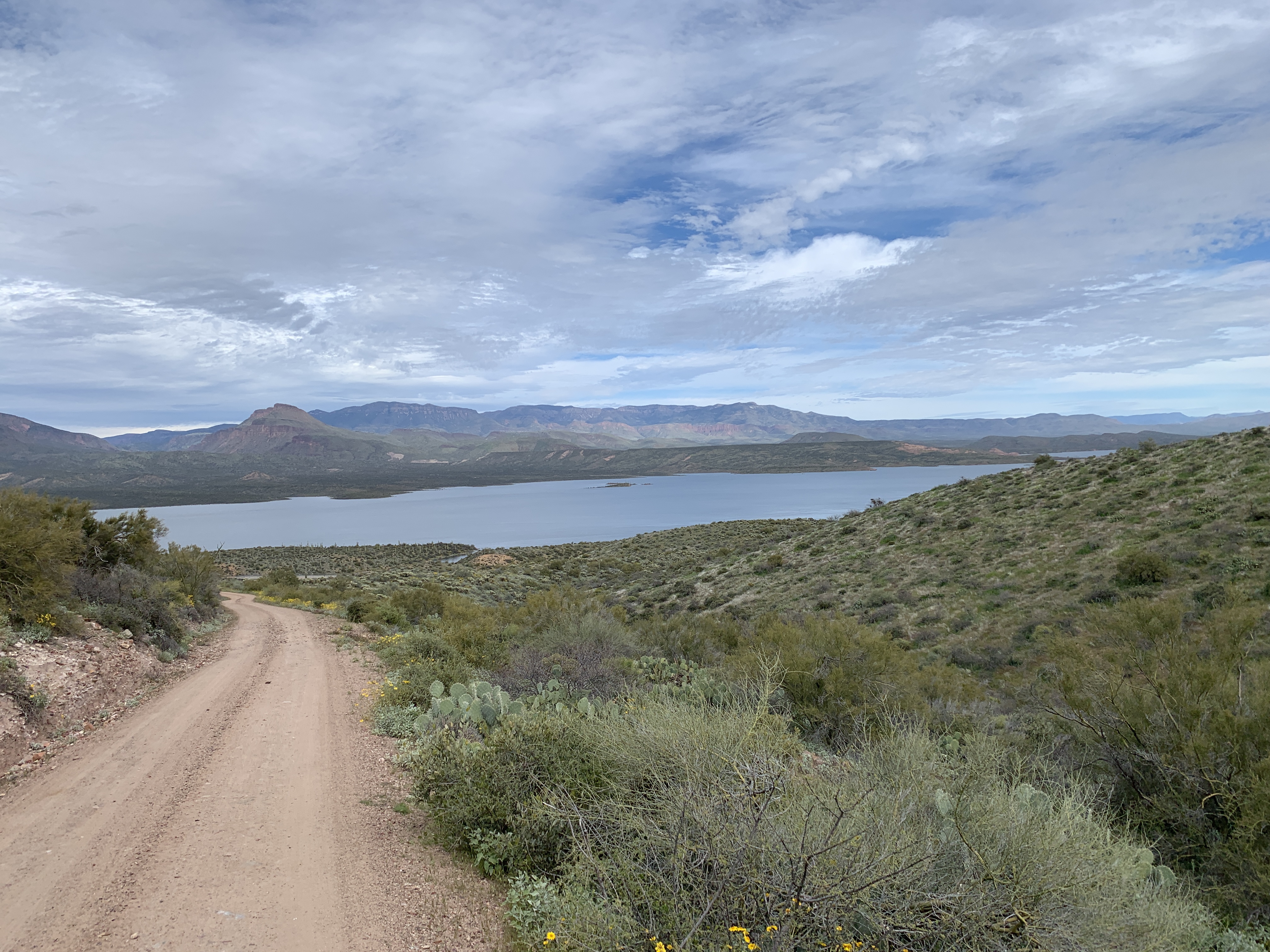
There were a couple campers here and there, and we found a spot to park with a view of the lake. It was quiet, peaceful, and offered a lovely respite from the turmoil of the coronavirus situation going on out there in the world. Oh, and it was also free.
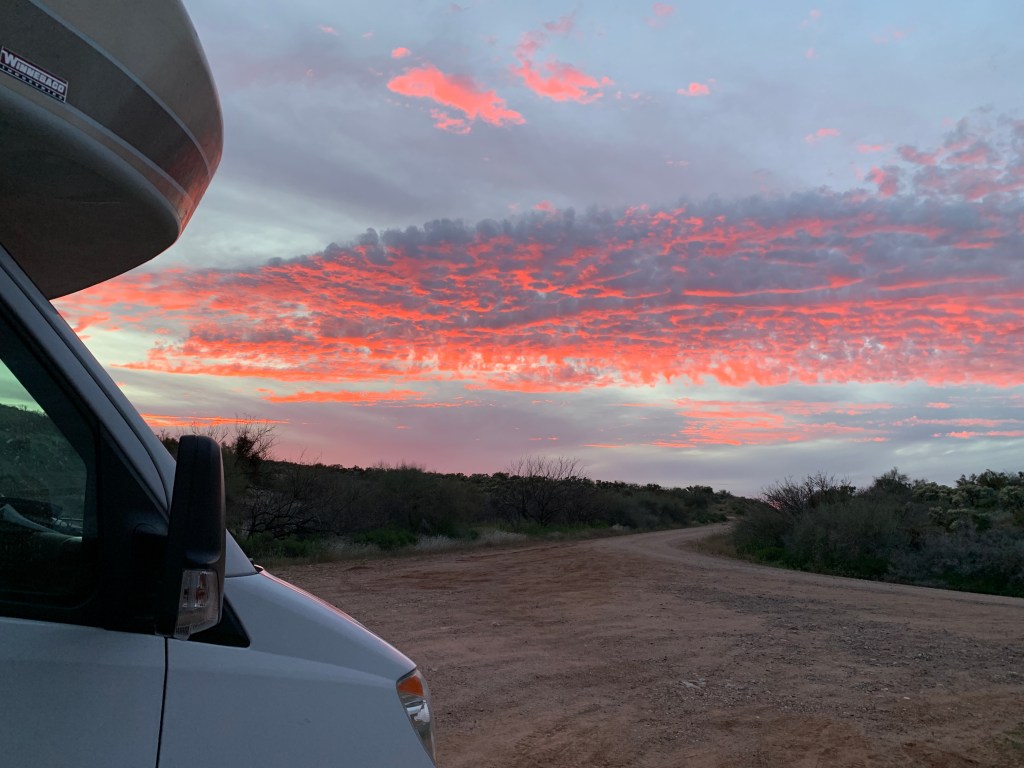
Strange times amongst us, we were very happy to be in some beautiful places on our journey back home.
