Home, Sweet Home

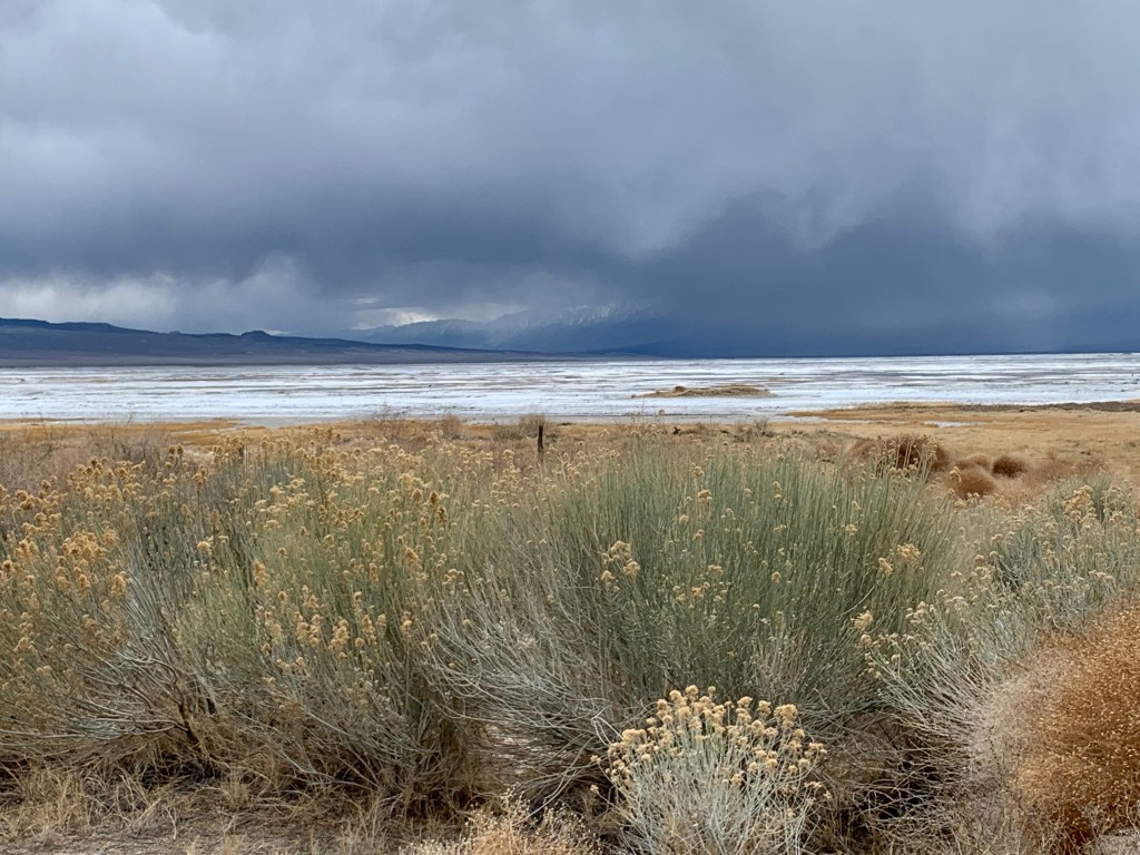
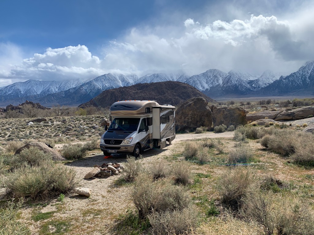
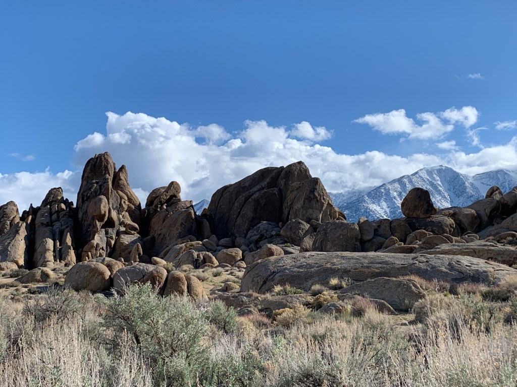
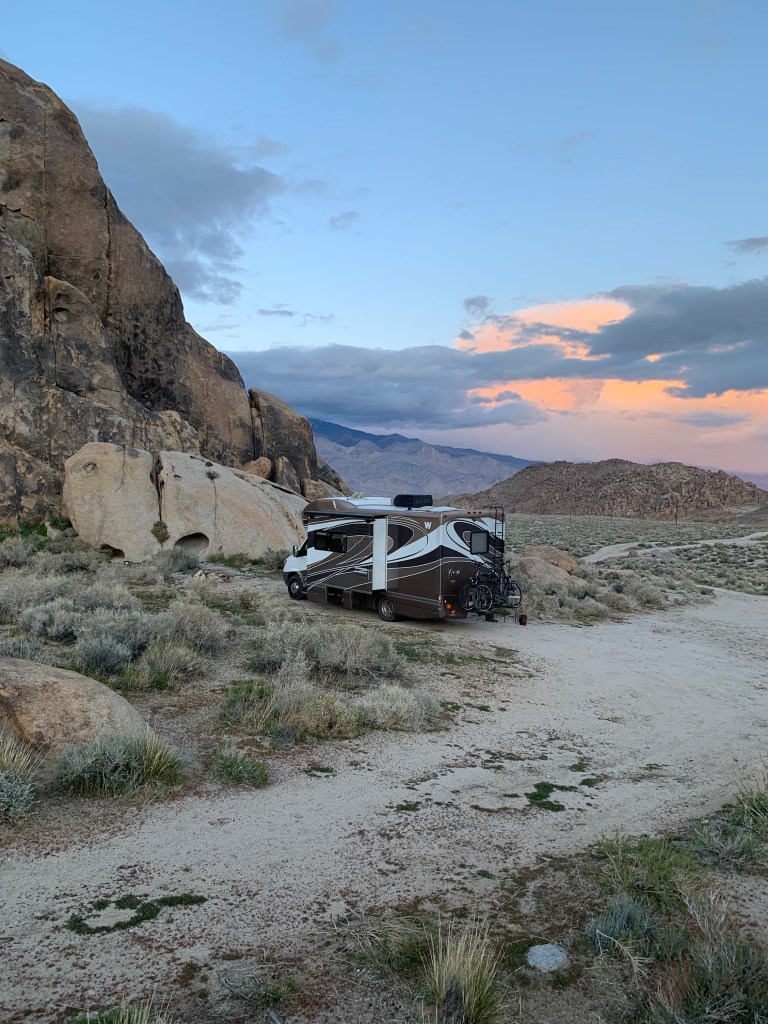
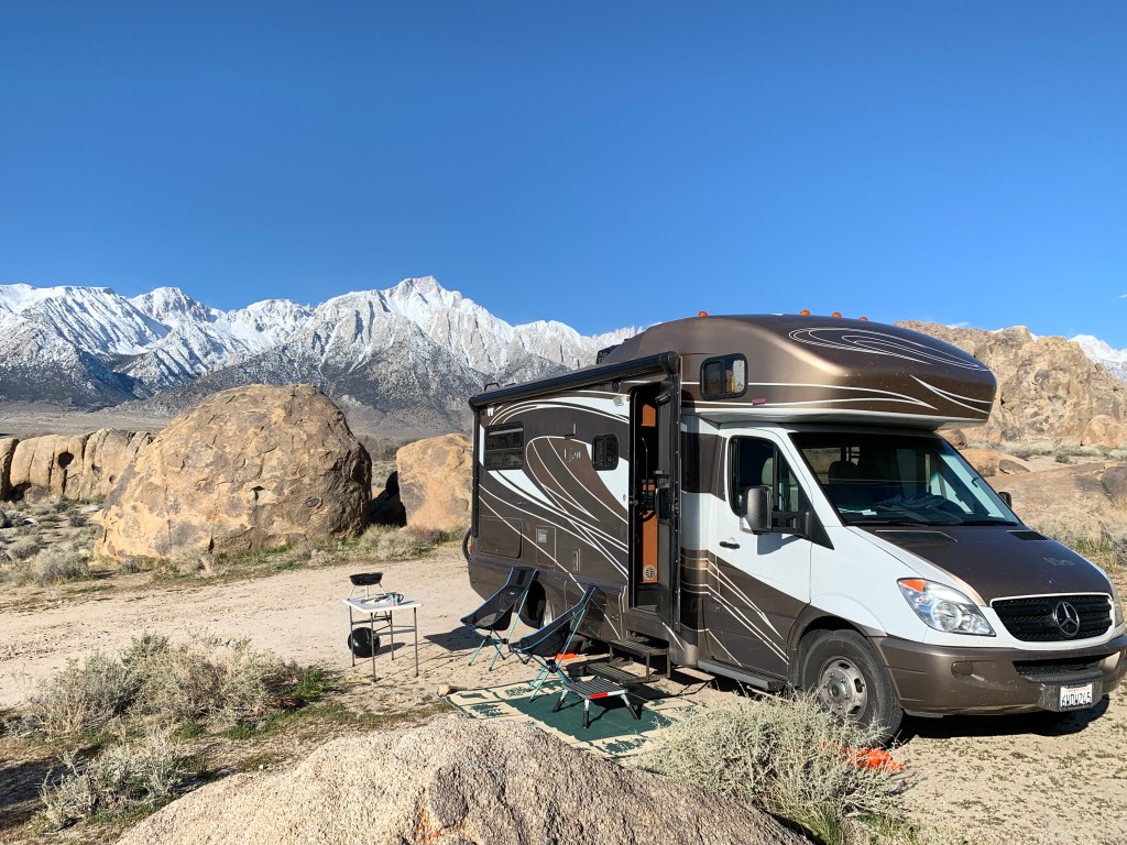
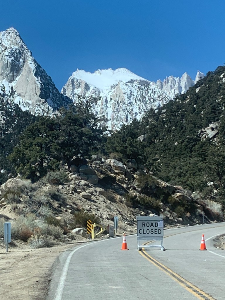
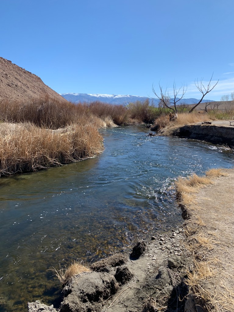
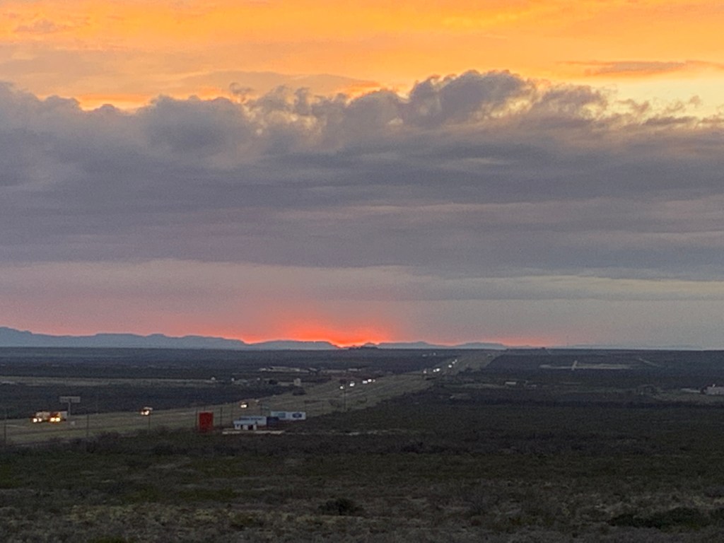
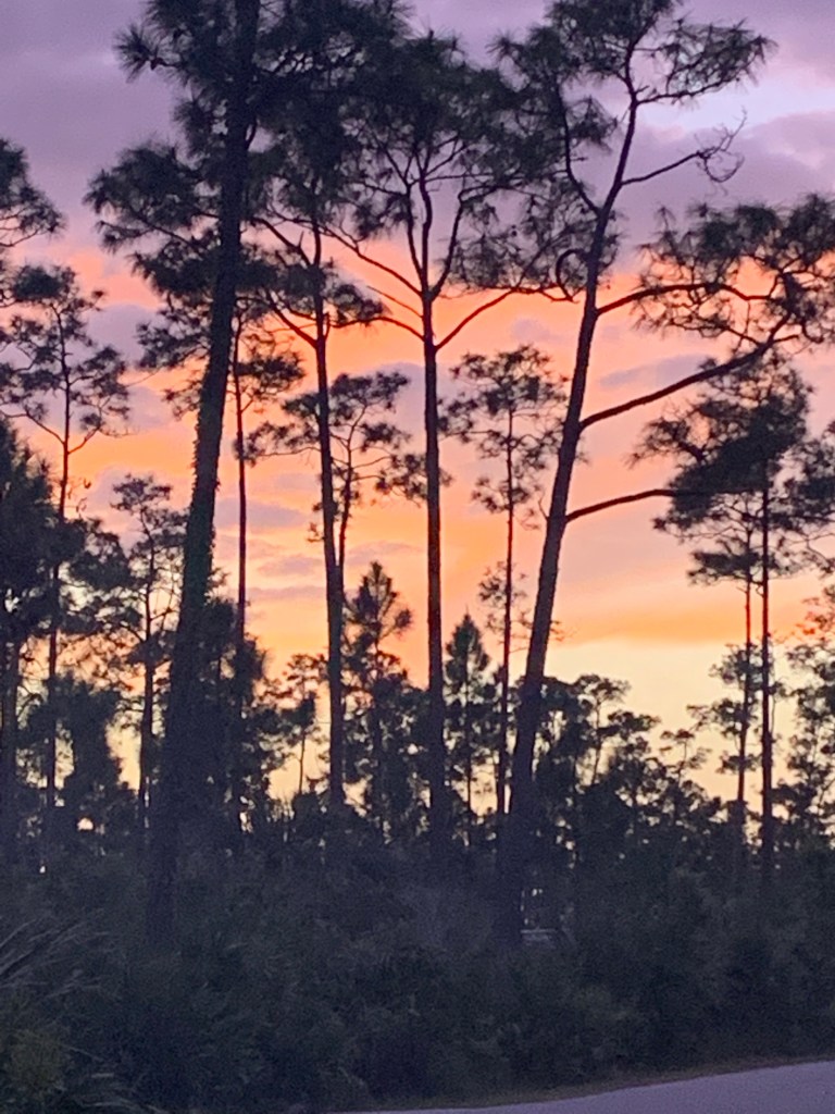
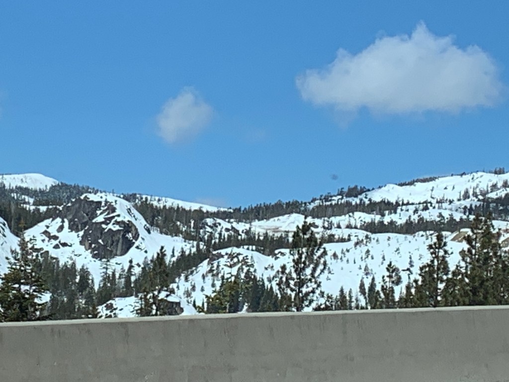
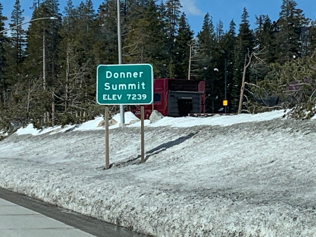
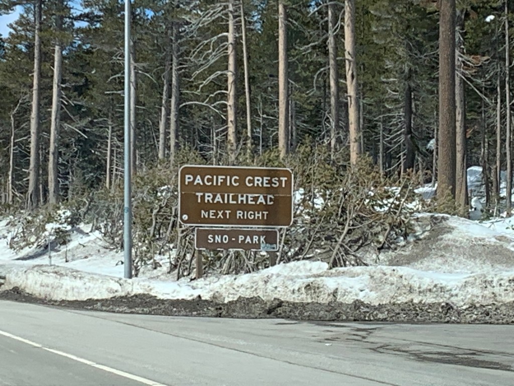
The last leg of this cross country journey had us reflecting on the trip and all the remarkable people and places we visited. As we journeyed up Hwy 395 on the eastern side of the Sierra Nevada mountains, climbing into evergreen forests and watching the snowy peaks go by, we felt welcomed home to familiar territory.

Hello Sierra Nevada, old friend!

We were reminded of how lucky we are to live in such a beautiful part of the world. The west coast gets some grief from people who complain about the cost of living (yes, it’s high), the number of people (yes, there are so many- but there’s a reason, right??), our politics (in case you haven’t figured it out by now), etc., but one of our reflections as we drove the miles getting closer to home is that all these things are totally worth it to us. We love where we live, we love all our people there, and we are proud to be Americans AND Californians.

Familiar territory

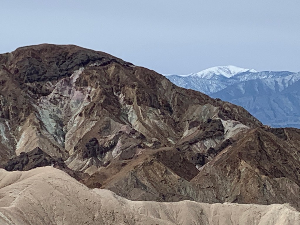
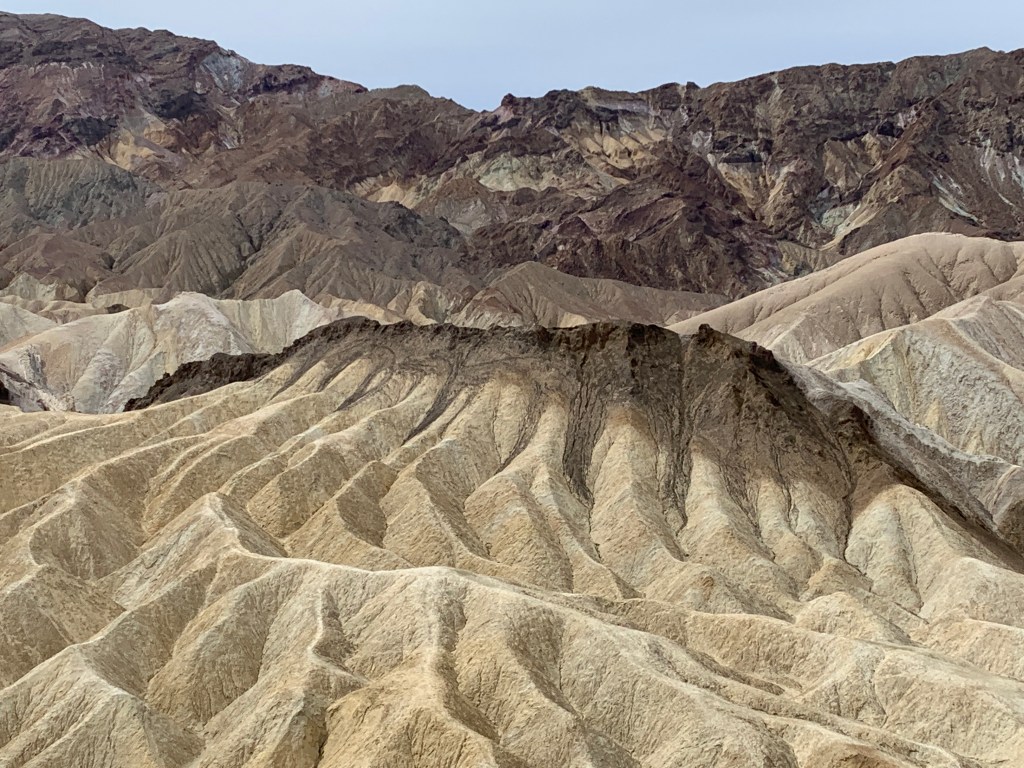
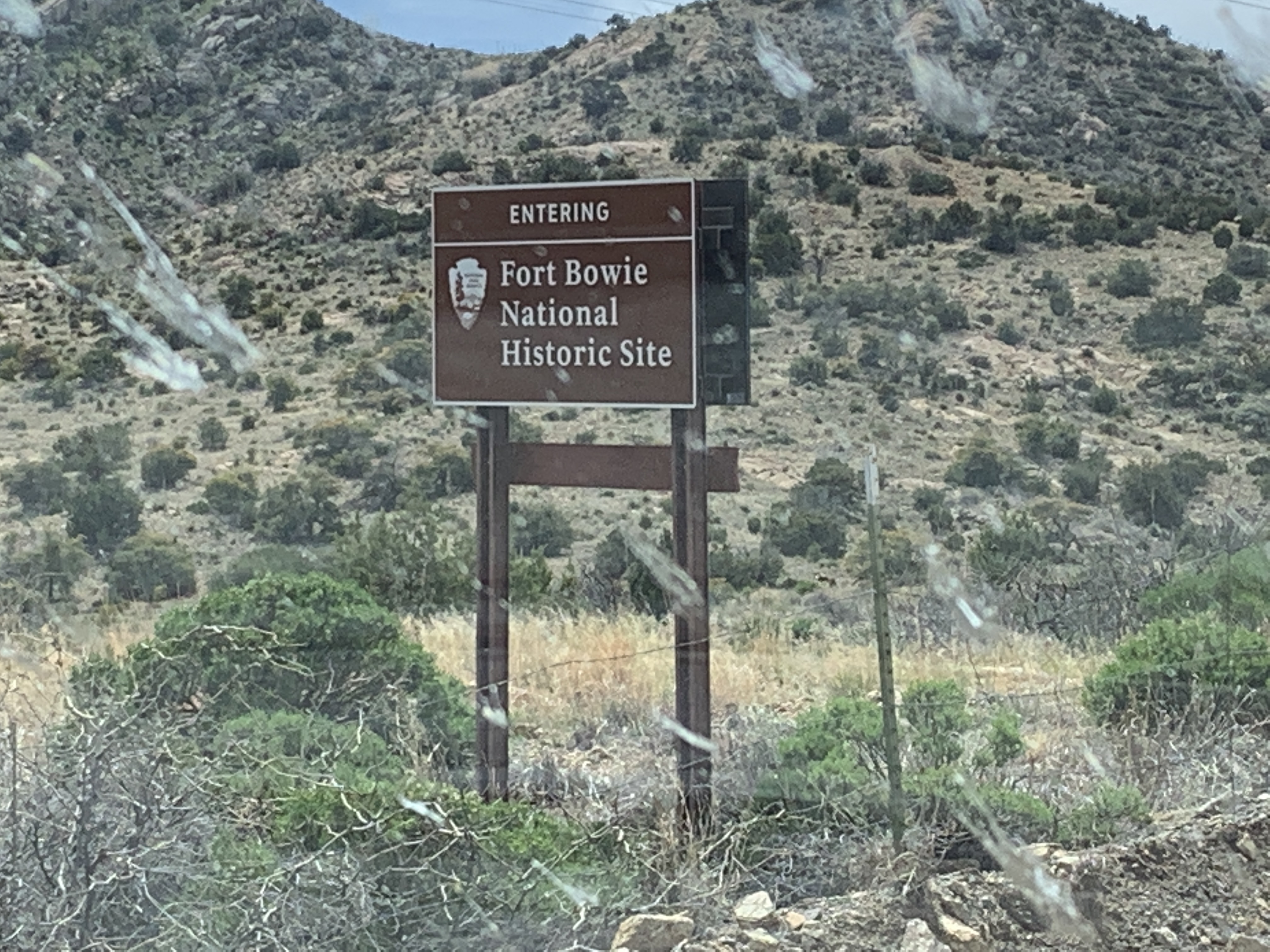
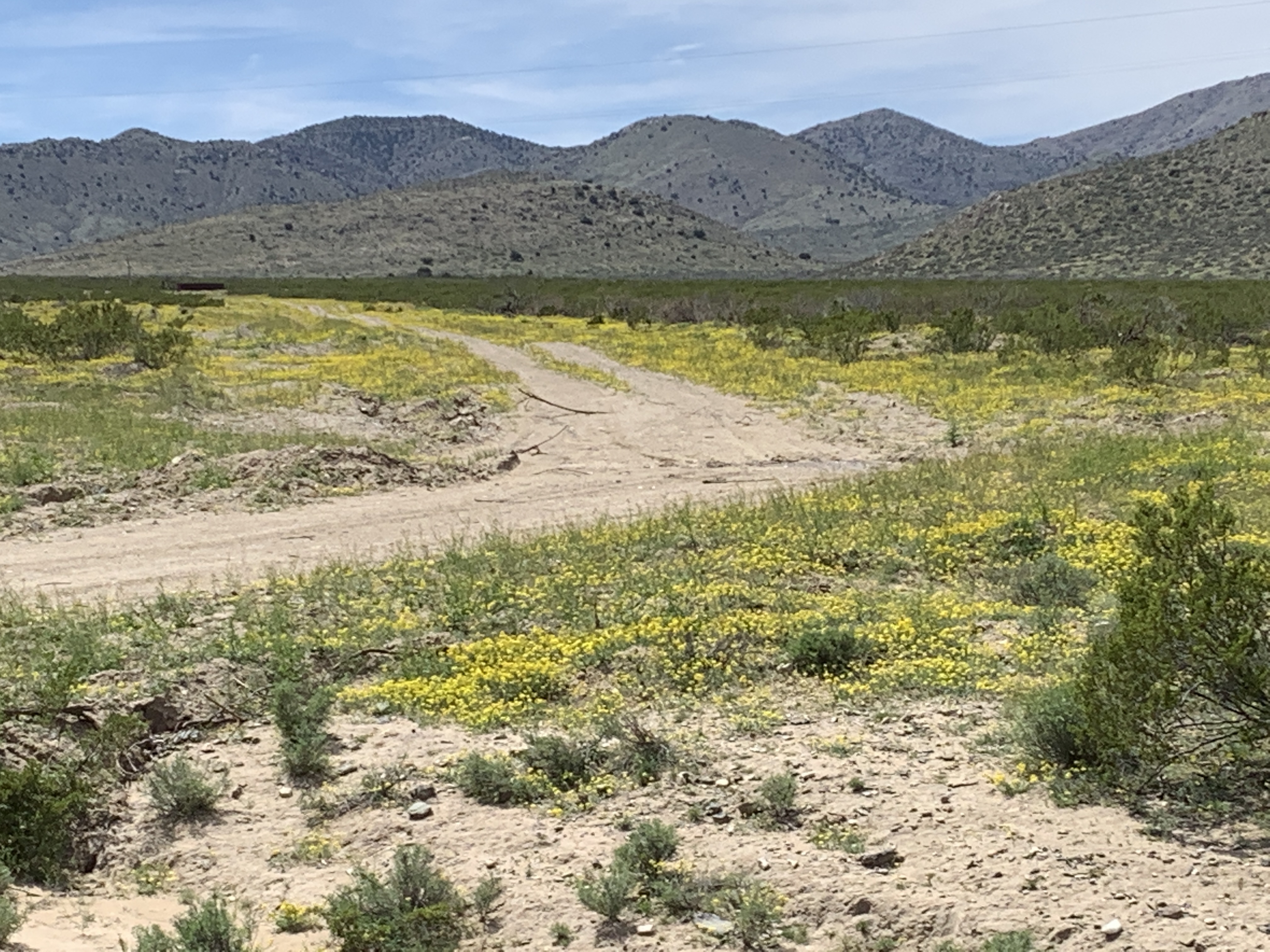
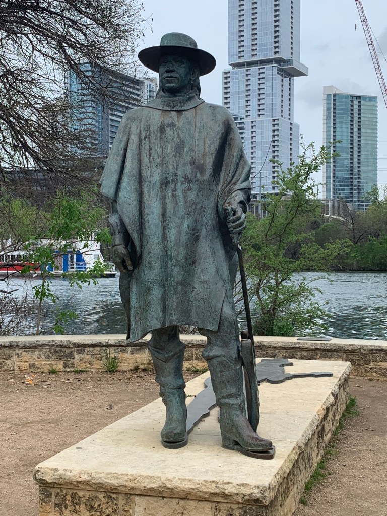
We also acknowledged that we, as American citizens, own A LOT of land. Our trip only barely dented the National Park system, as well as all the other National land – Monuments, Forests, Historic Sites, etc. As Woody Guthrie sang, “This land was made for you and me.”

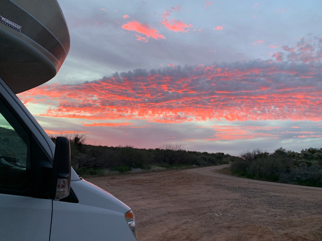
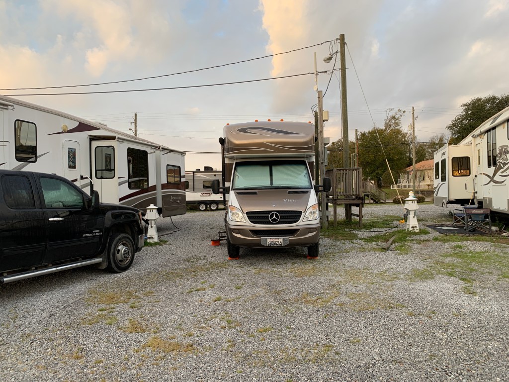
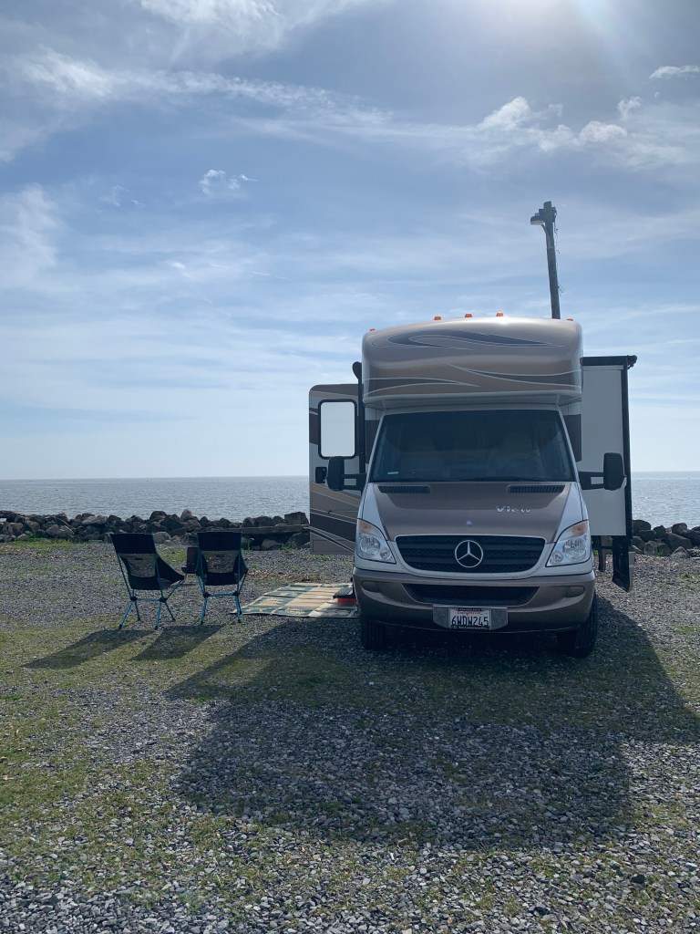
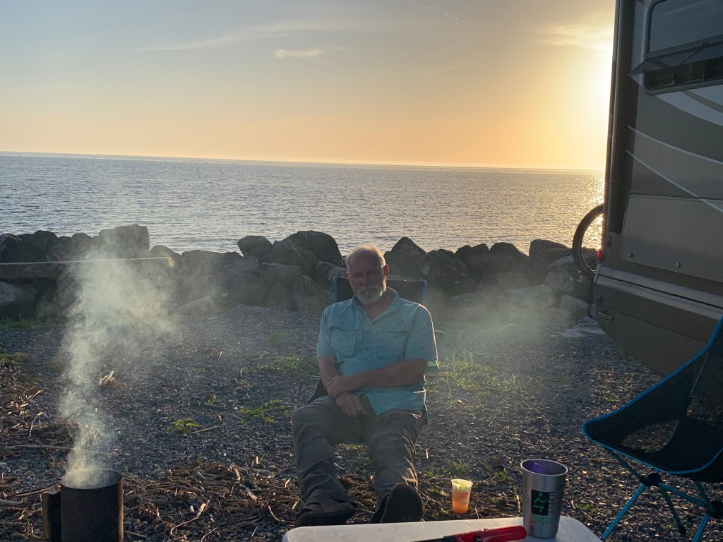
Our last stop before getting home was going to be Cabela’s in Boomtown (west Reno, NV) because they had a dump station and huge empty parking lot that we could camp out in. When we pulled in, after white-knuckled driving in howling winds through the Carson Valley, we discovered that there is now a fee for the dump and No Parking RVs Overnight signs all over the lot. We were so tired and drained from the drive that we didn’t want to chance a knock on the door in the middle of the night and be told to move along, so we went over to the KOA RV Park just below Cabela’s and inquired about availability, and lucked out. It wasn’t free, but it was a splurge for our last night on this long trip, and we even ordered some Indian Food delivery, right to our camper door!

Boondocking at Sierra Cascade Blueberry Farm

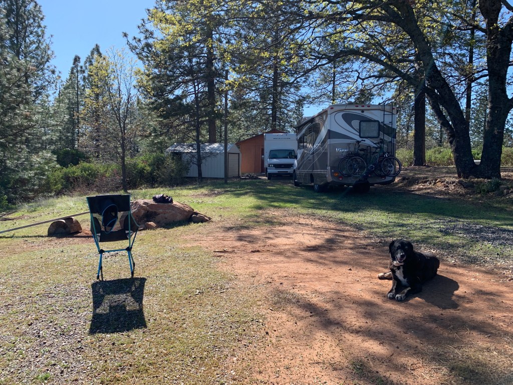
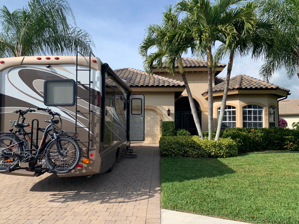
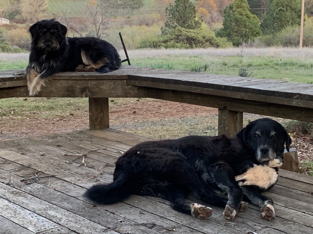
Since we were arriving home a few days early, we agreed to camp out on the farm while our caretakers prepared to take their leave a couple days later. Our farm is as beautiful as any place on the planet, and we are happy to have this space to shelter in place, plus our fur babies Big Al and Millie were pretty happy to see us!

Social distancing on the blueberry farm
Millie and Big Al

Reflections on this trip:

Songs for the road.

As we drove across America, it was hard not to have song lyrics pop into my head relative to where we happened to be. Here’s a few of those (sing along if you like):

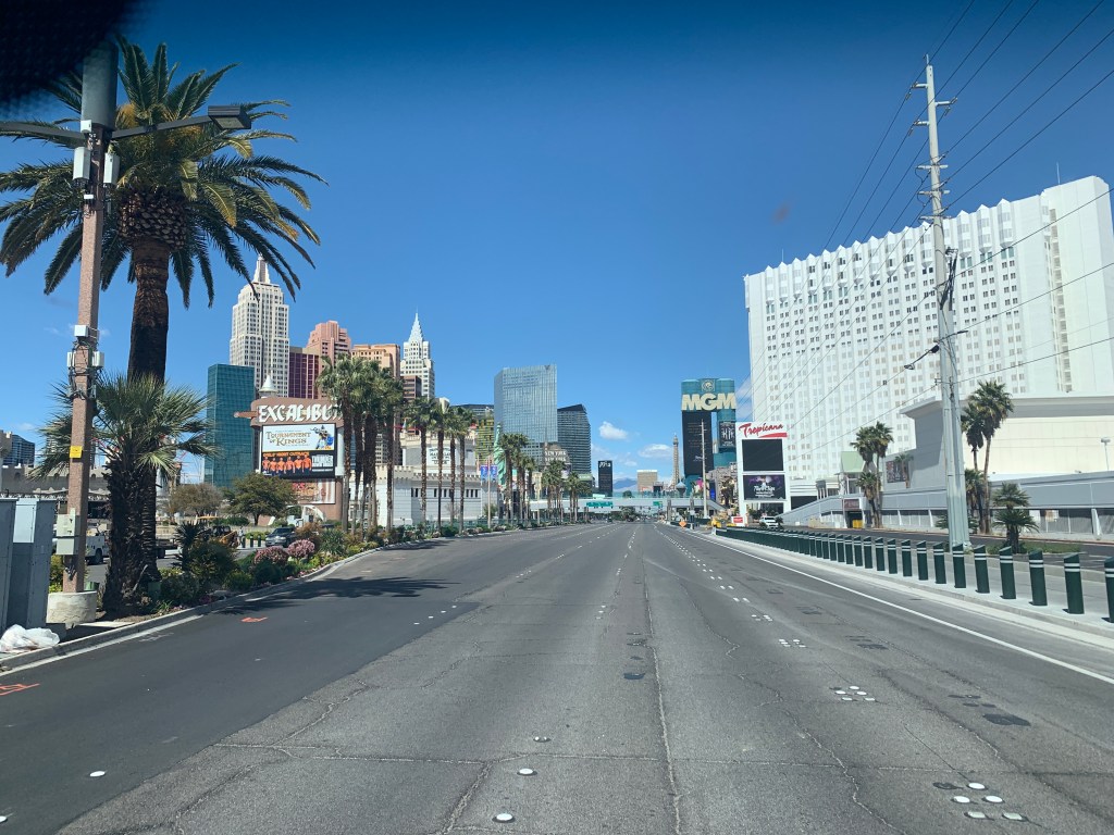
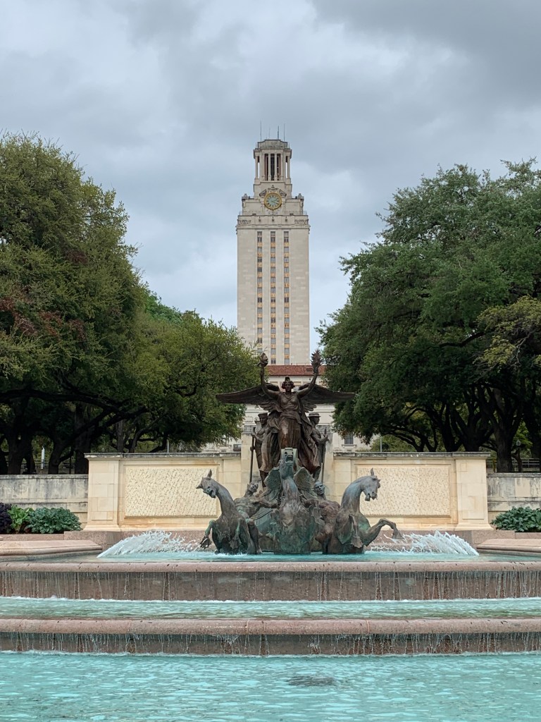
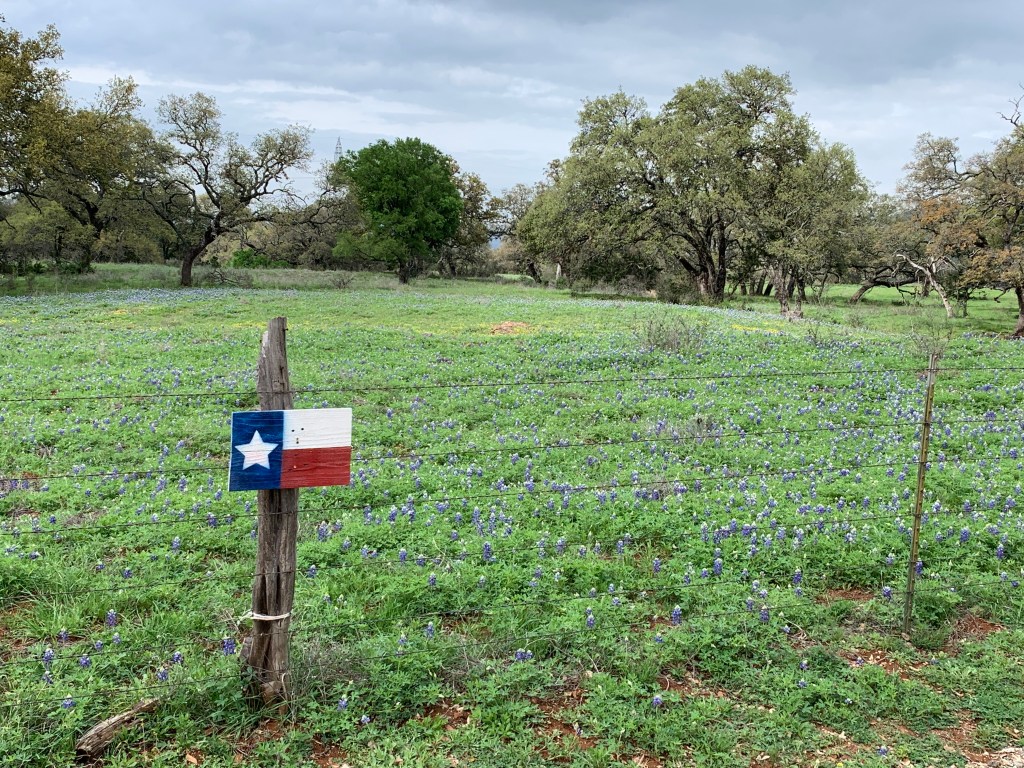
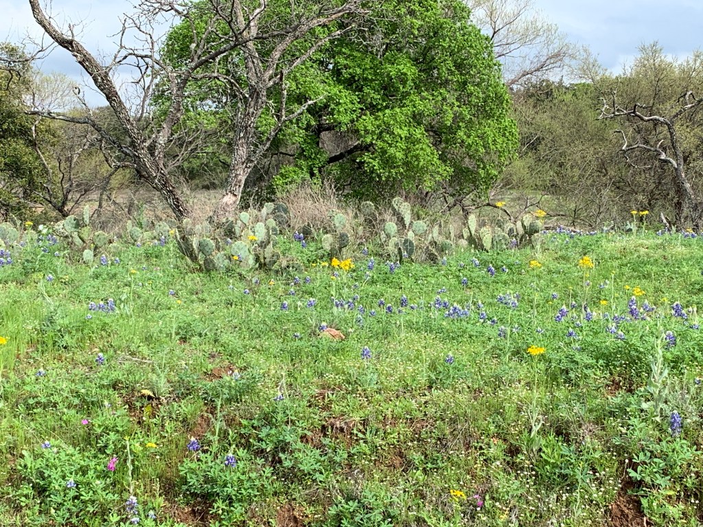
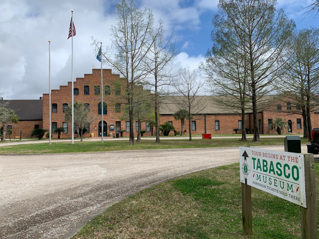
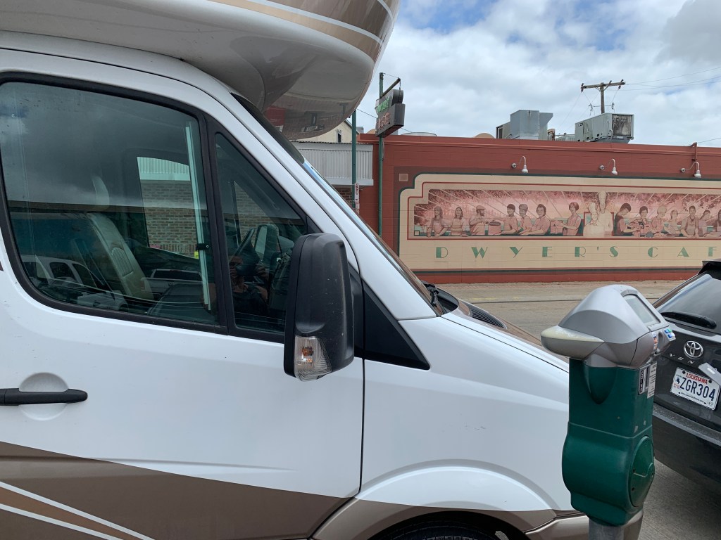
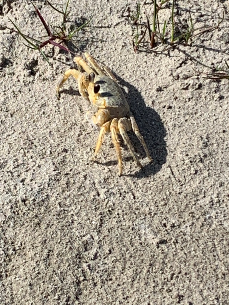
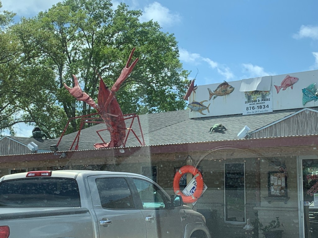
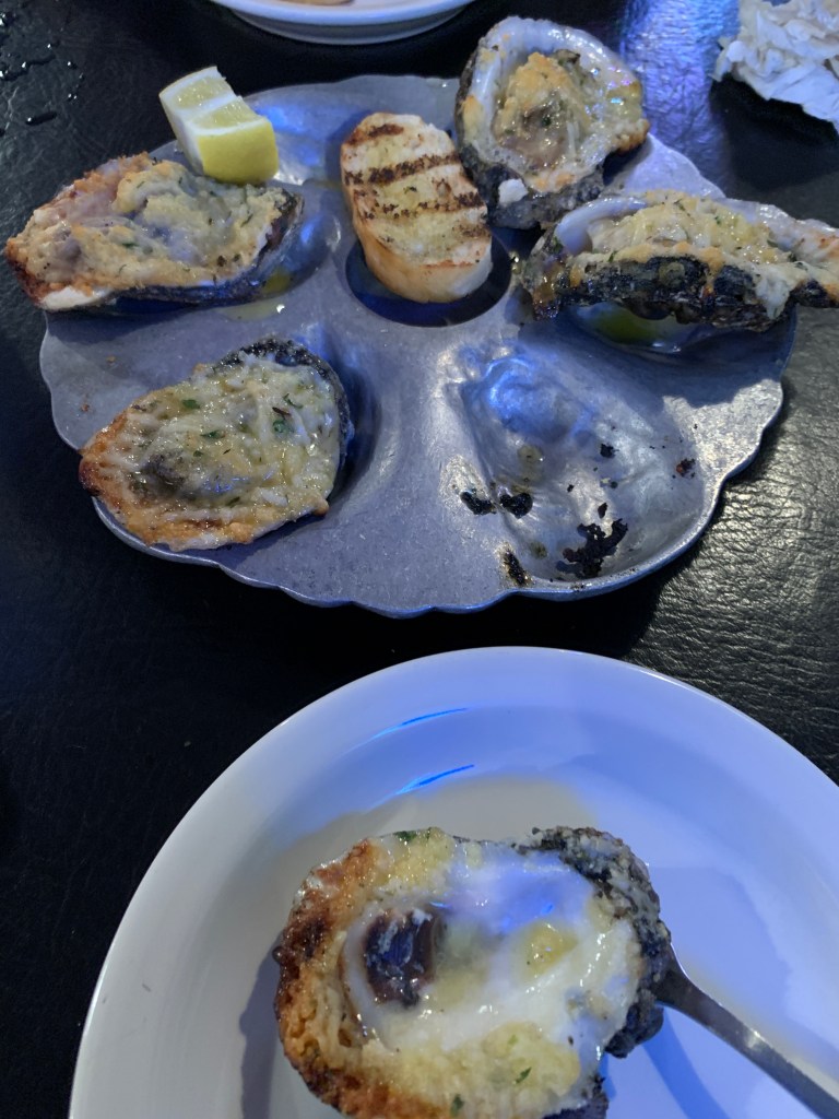
If I can just get off of this LA freeway, without getting killed or caught.....
And I've been from Tucson to Tucumcari, Tehachapi to Tonopah.....
Out in the West Texas town of El Paso, I fell in love with a Mexican girl.....
 I saw miles and miles of Texas, all the stars up in the sky.....
Still live in my heart all alone, for that moonlit pass by the Alamo, and Rose, my Rose of San Antone.....
Galveston, oh Galveston, I still hear your seawinds blowing.....
He had a reason to get back to Lake Charles, he used to talk about it, he'd just go on and on, he always said Louisiana was where he felt at home.....
To Lake Charles, Louisiana, little Bessie, girl I once knew, and she told me just to come on by, if there's anything she could do.....
Lake Pontchartrain, in a hurricane, calling my name, down in New Orleans.... 
Busted flat in Baton Rouge, waiting for a train......
Leavin Lousisiana in the broad daylight.......
I wanna go home with the armadillo, good country music from Amarillo and Abilene, the friendliest people and the prettiest women you ever seen.....
All my exes live in Texas, and Texas is the place I'd dearly love to be, but all my exes live in Texas, and that's why I hang my hat in Tennessee......
Well I'm standing on a corner in Winslow, Arizona, such a fine sight to see - it's a girl my lord, in a flatbed Ford, slowing down to take a look at me.....
Wish I was back on the bayou, rollin with some cajun queen, wishin I were a freight train, oh, just chooglin on down to New Orleans, born on the bayou.....
There is a house in New Orleans, they call the Rising Sun.....
Good morning America how are you? Don't you know me I'm your native son, I'm the train they call The City of New Orleans, I'll be gone five hundred miles when the day is done......
Head out on that highway, looking for adventure, borrrrrrrnnnnn to be wiiiiillllllldddd.....
Oh, but California, California, I'm coming home. I'm going to see the folks I dig, I'll even kiss a sunset pig, California, I'm coming home.

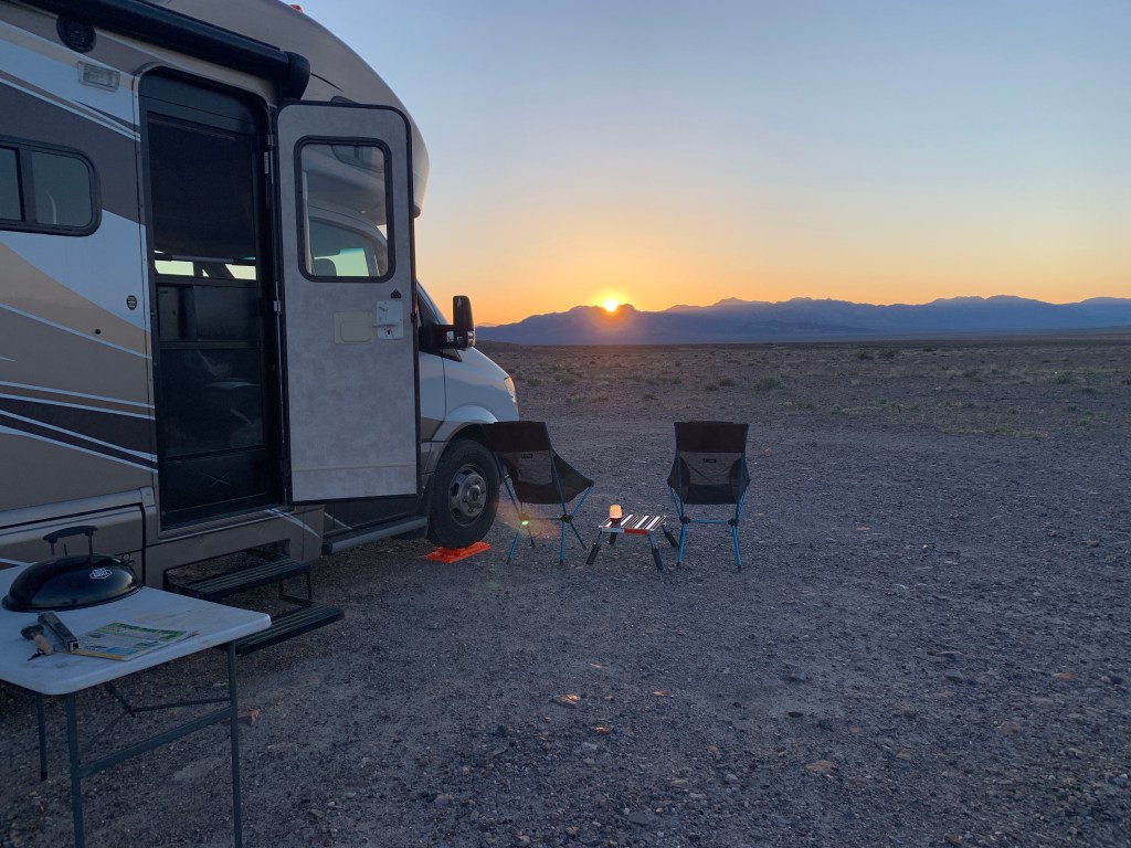
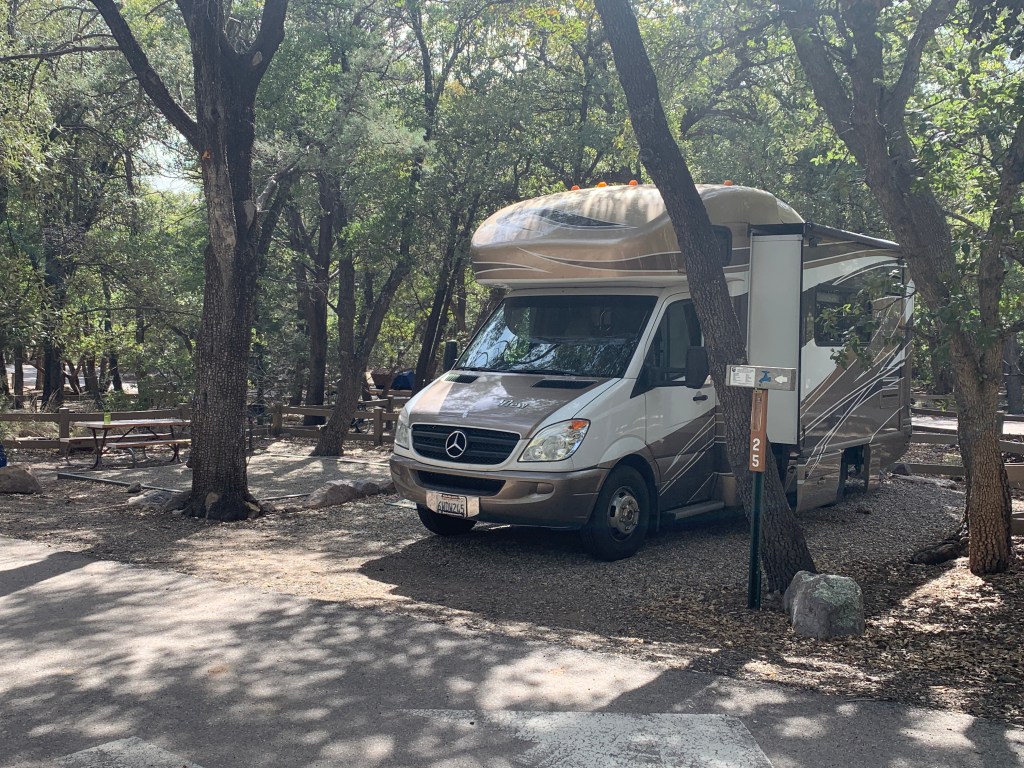
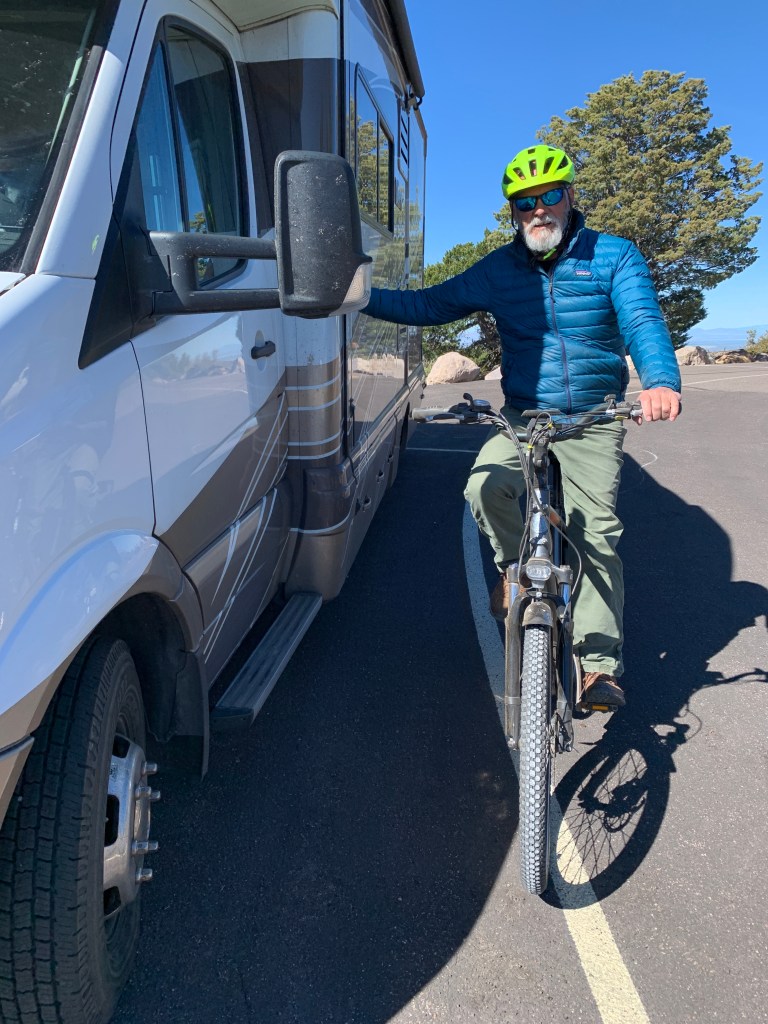
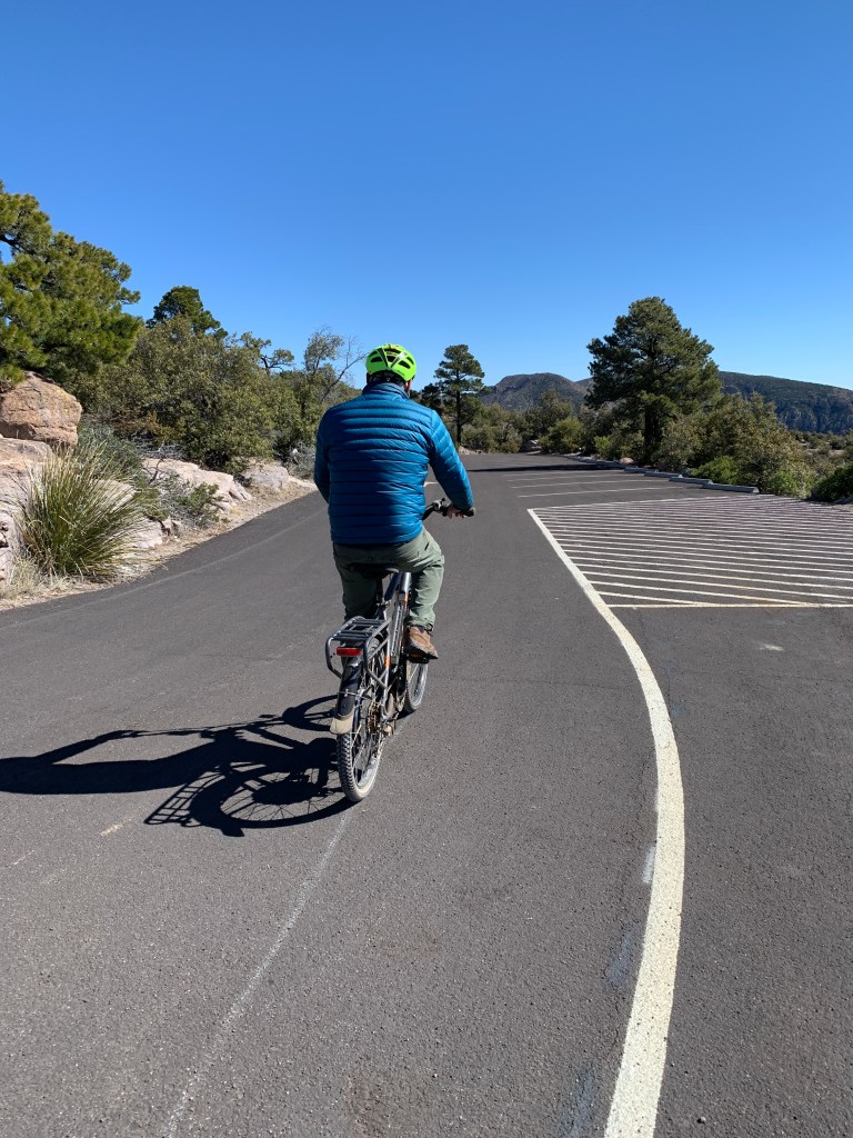
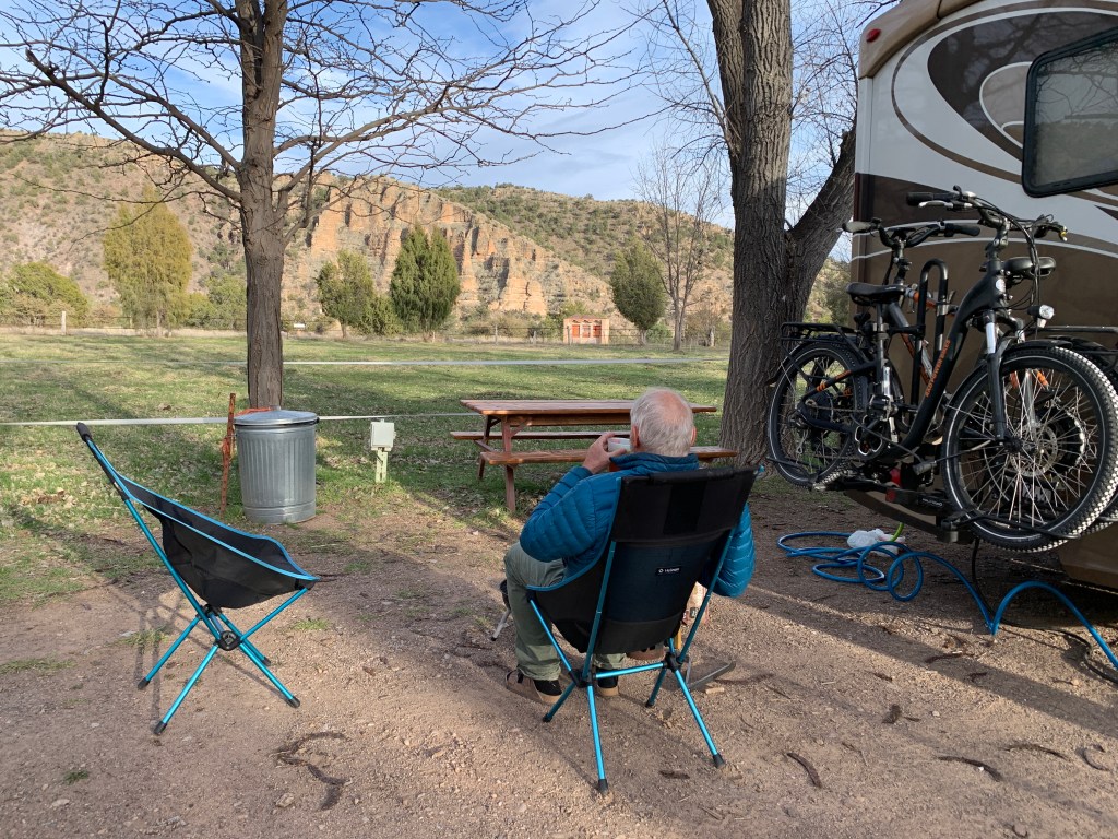
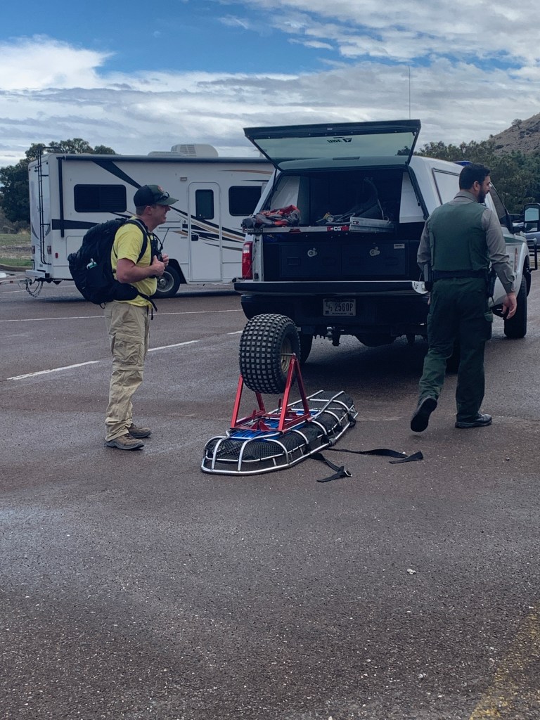
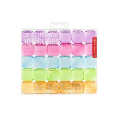
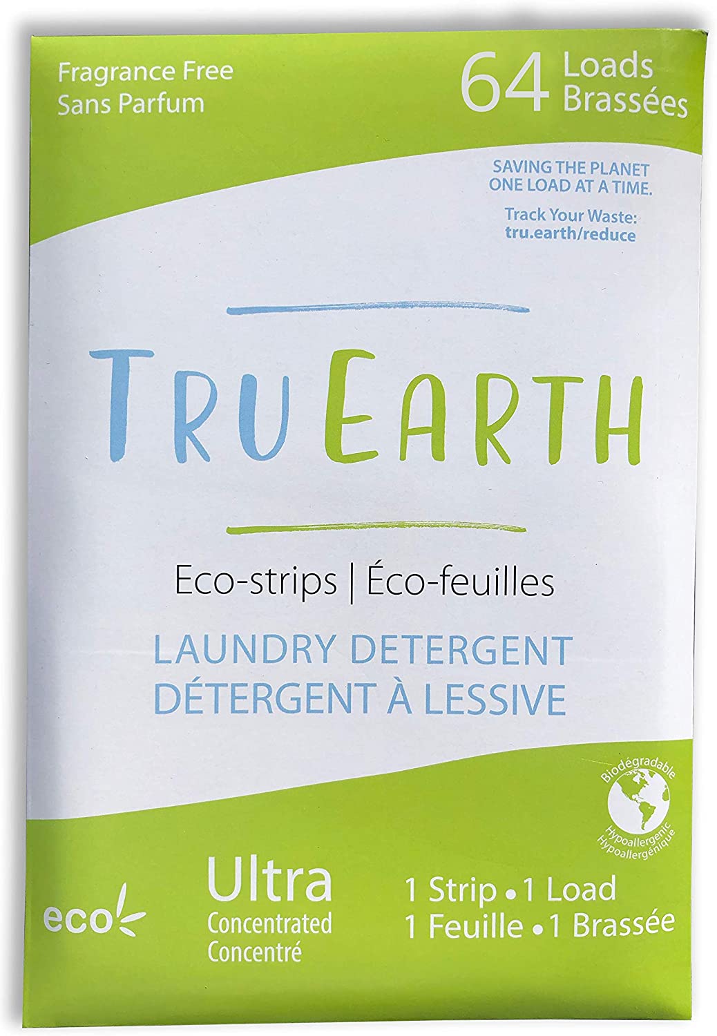
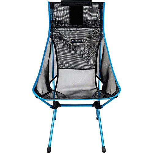
Things you cannot live without on an RV trip. (aka things that make life a tad easier)

Including but definitely not limited to, and always open to change: Refreezable ice cubes, Helinox camp chairs, laundry detergent sheets, books, instant espresso, USB fan, flip flops, hiking poles, hand sanitizer (luckily purchased wayyyyy before COVID19), sauerkraut in a can.

Navigation

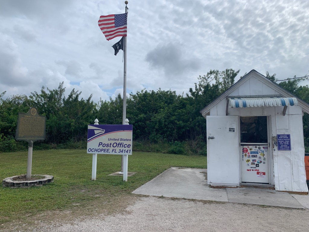
Paper maps vs. Google maps? BOTH!!! We got all the state maps from AAA before we left, and they were super helpful when plotting out our route across America. It’s soooo hard to do that on a smart phone. However, the navigation guidance was really helpful when we were going through cities, and trying to find grocery stores or gas stations or post offices, etc., and was mostly reliable except for that one time when it wasn’t……. Plus, you can draw on and highlight paper maps, and in general, we just really liked looking at them. I think I’d go for one of the really detailed DeLorme map books if we went to some areas in the west, where the online guidance wouldn’t be available because of connectivity, but we did not worry about that on this trip.

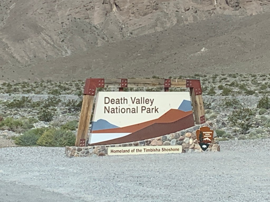
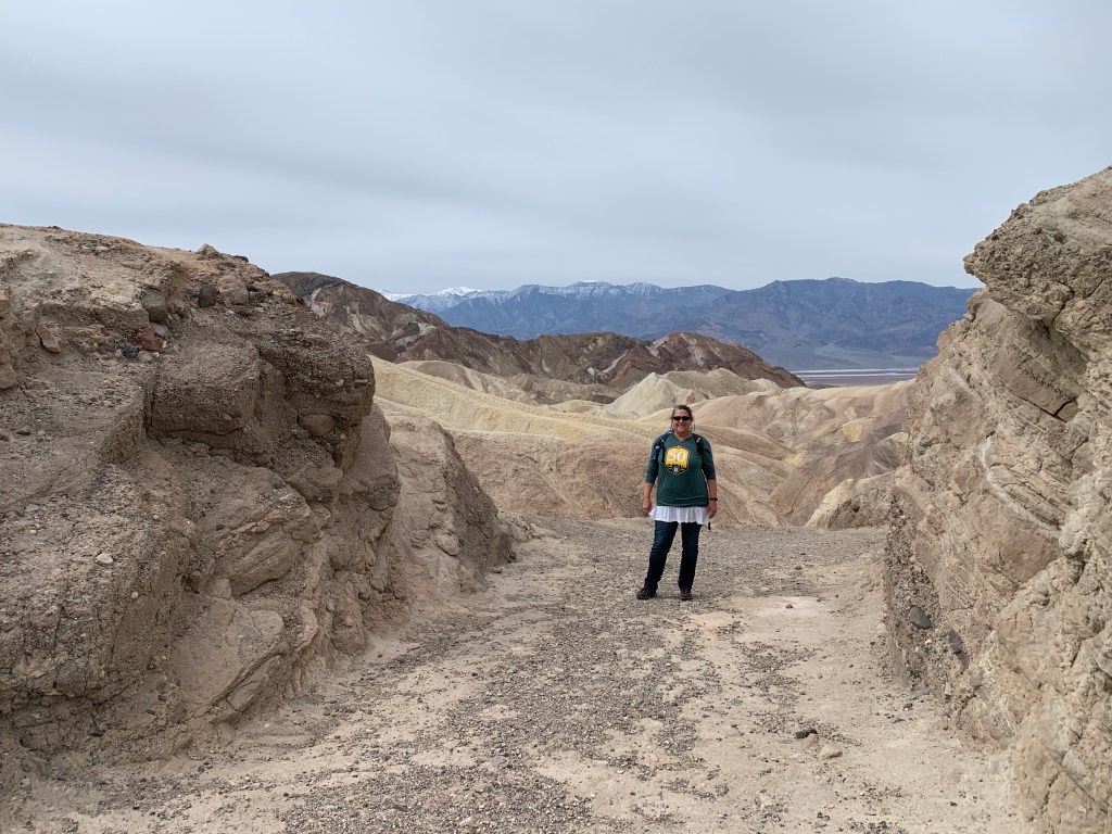
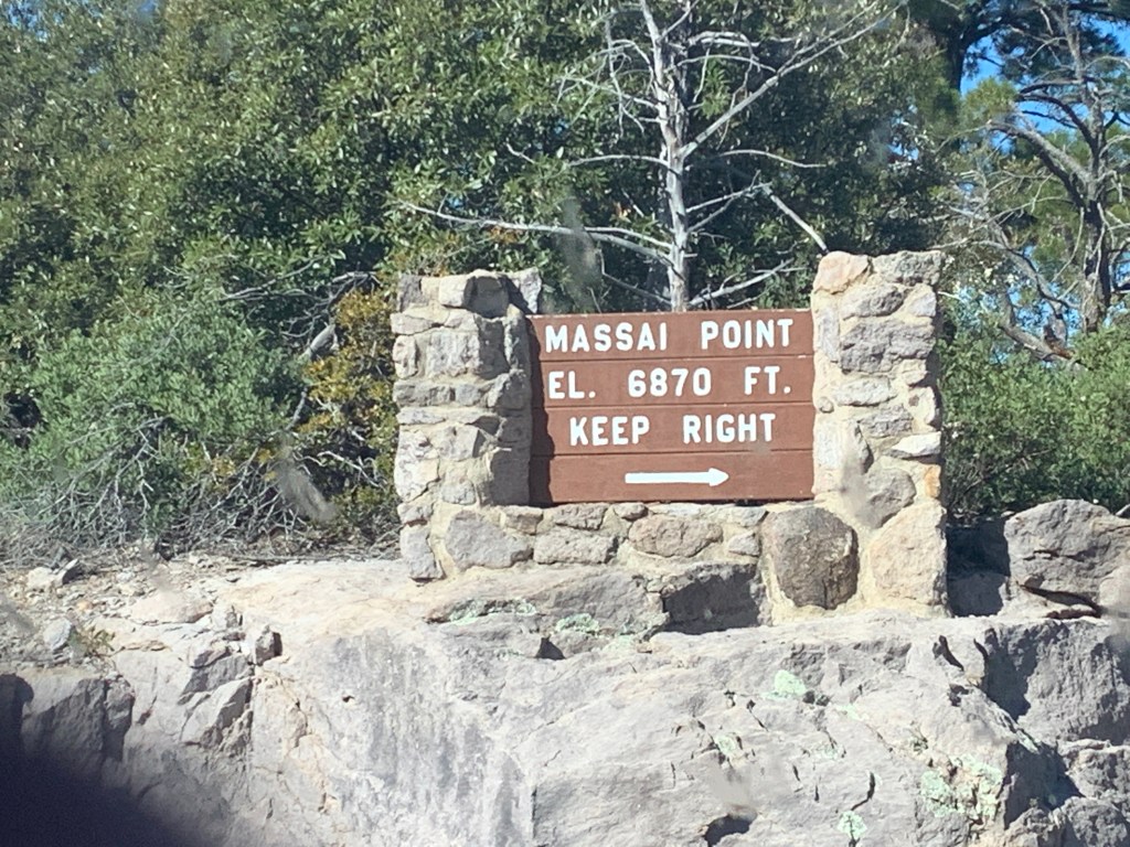
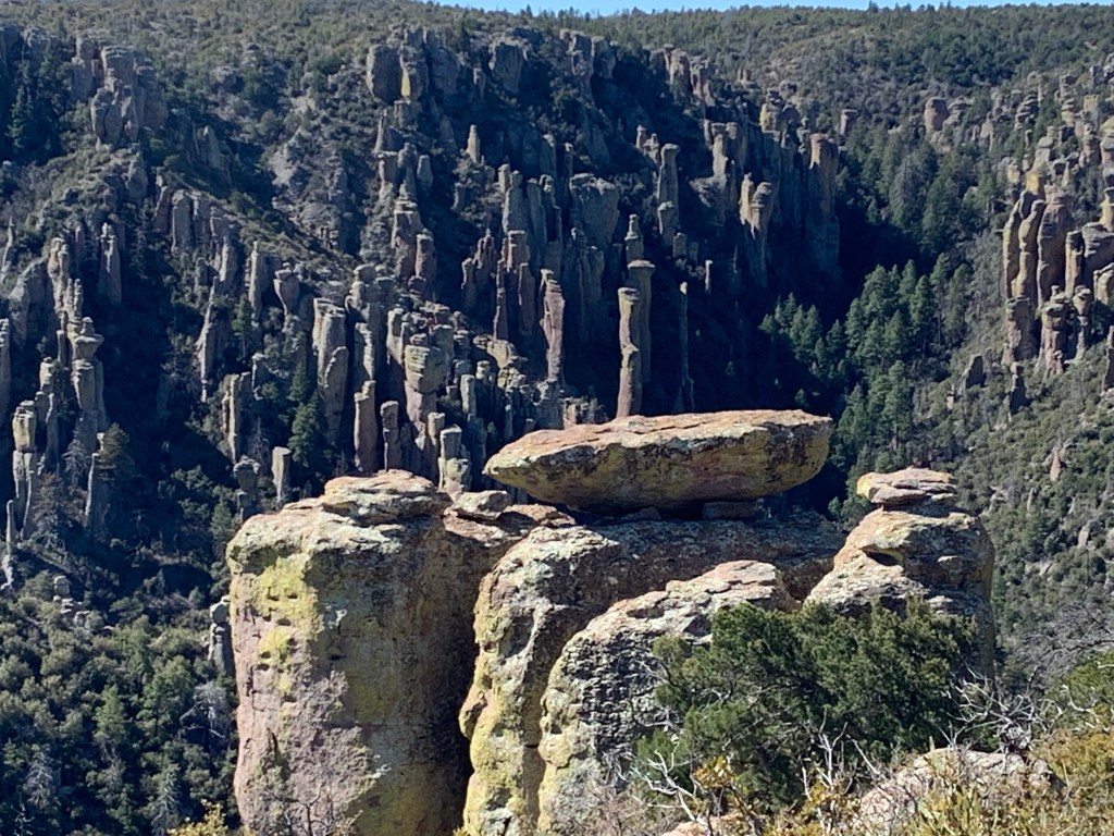
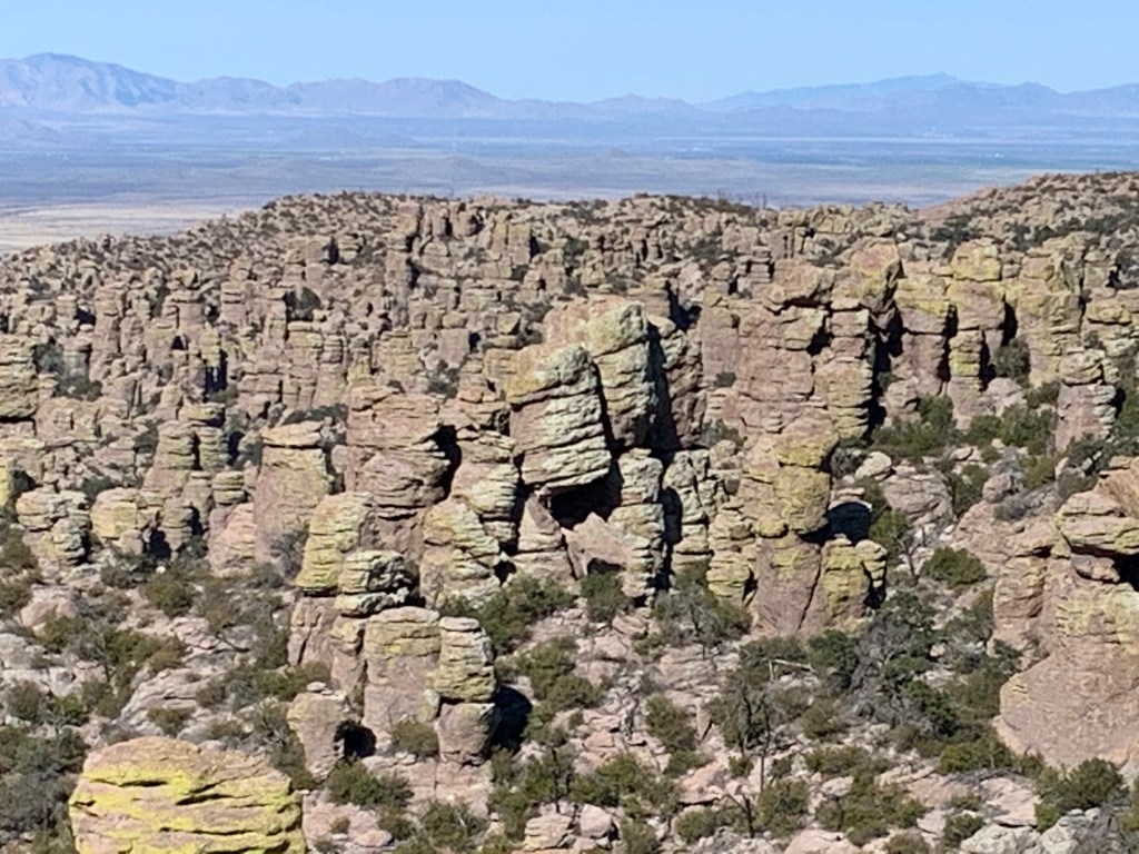
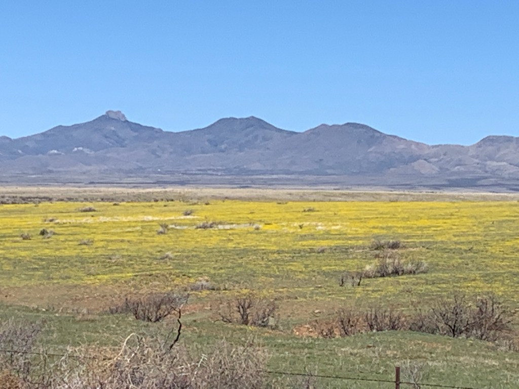
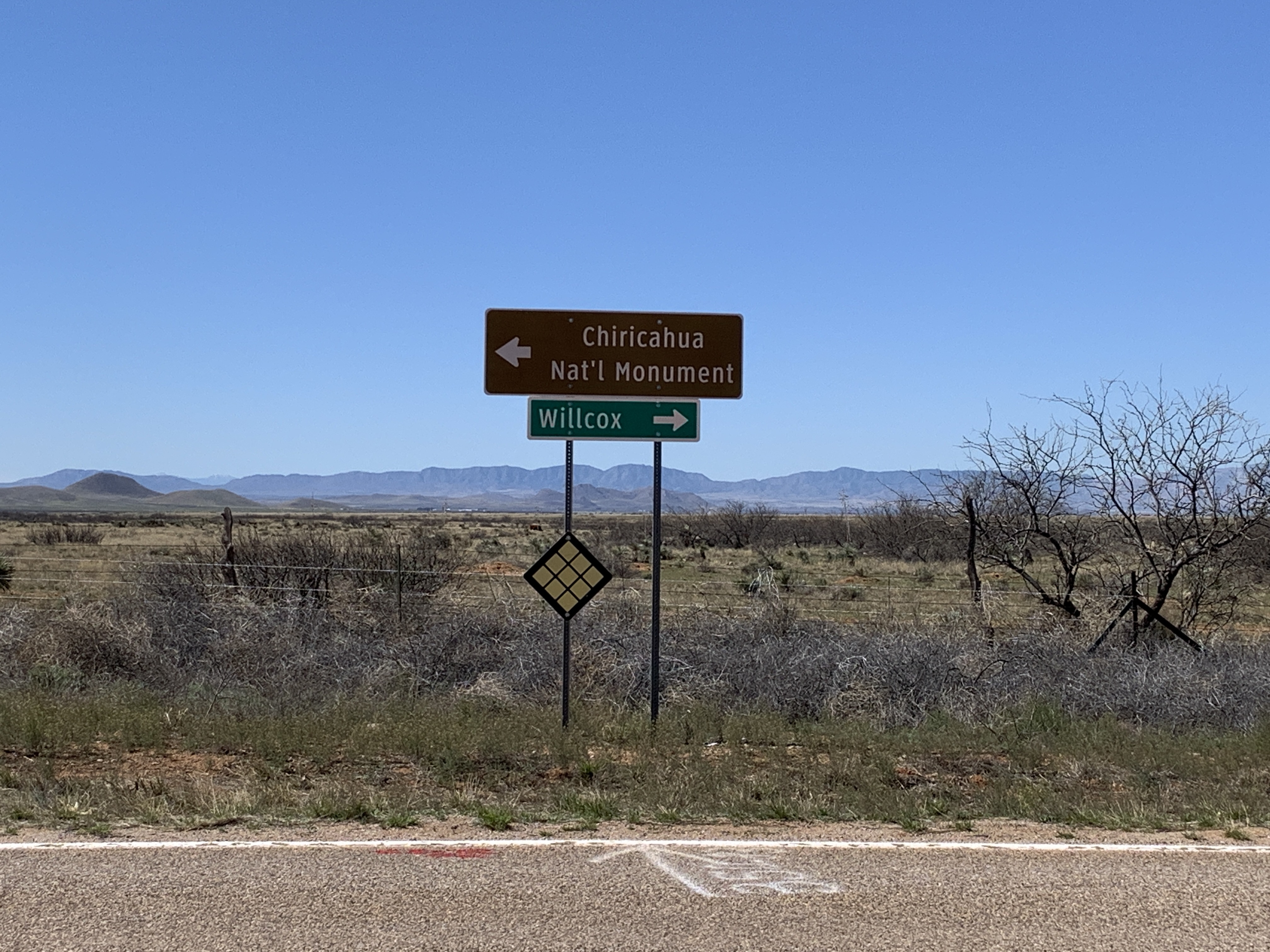
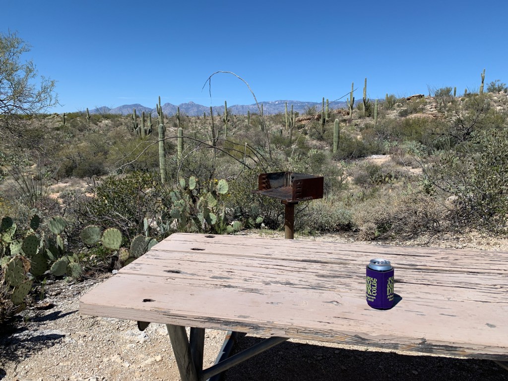
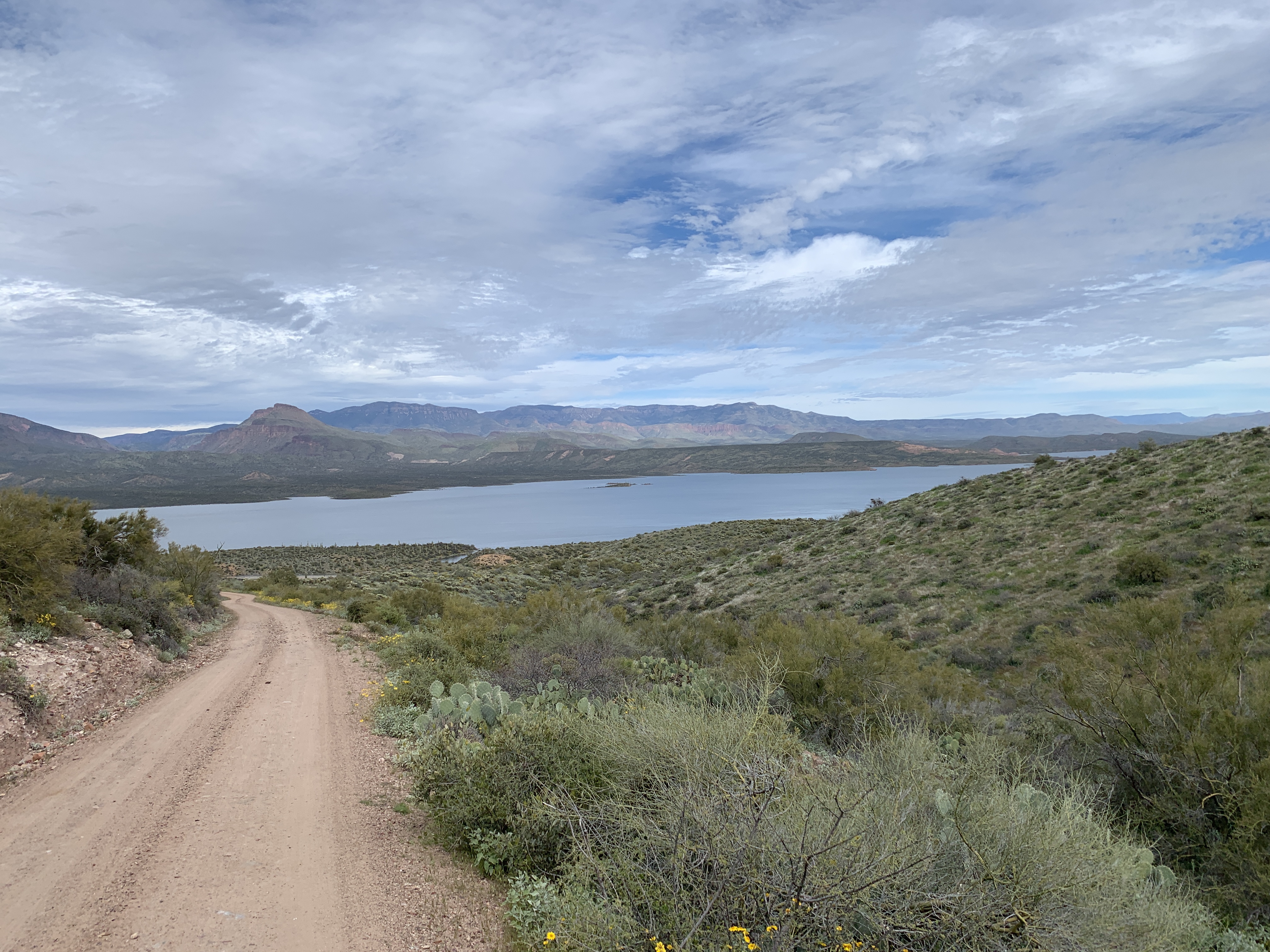
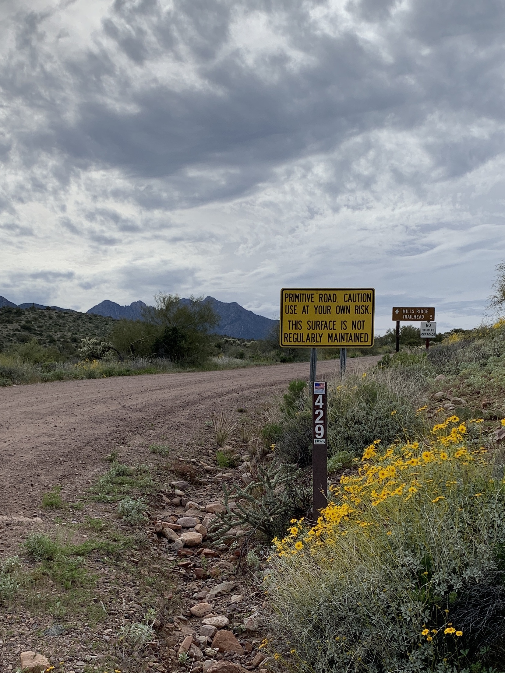
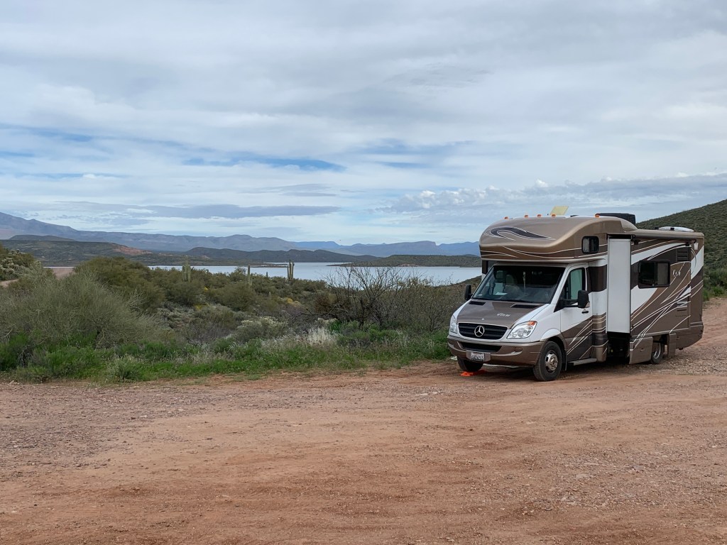
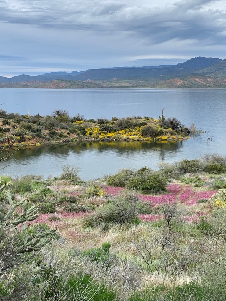
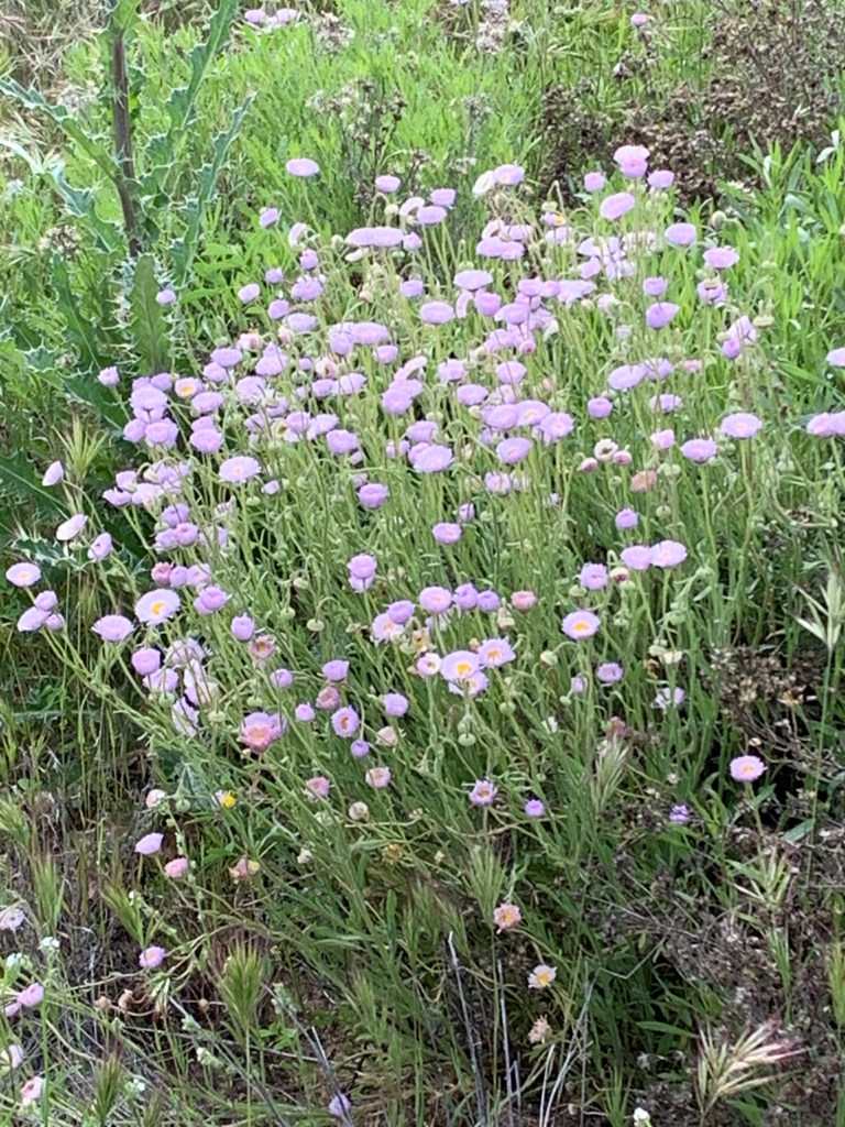
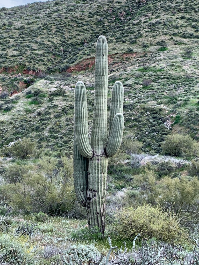
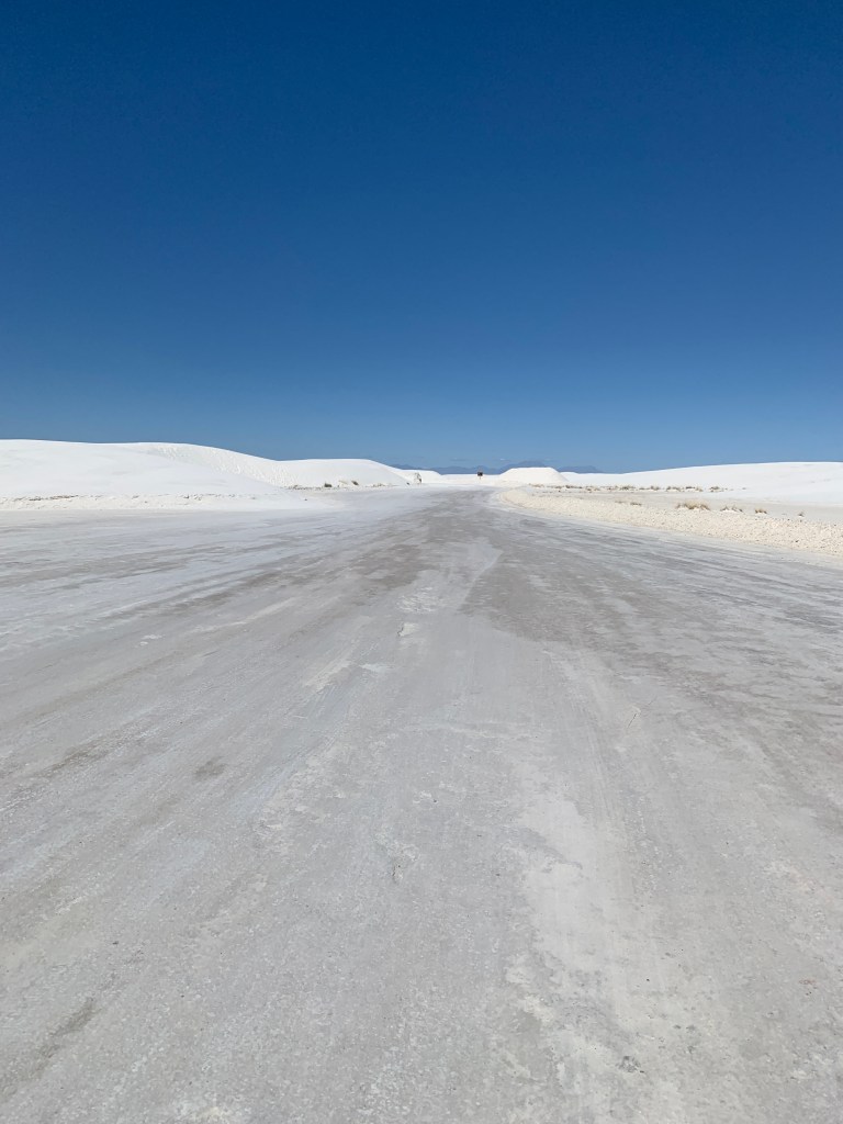
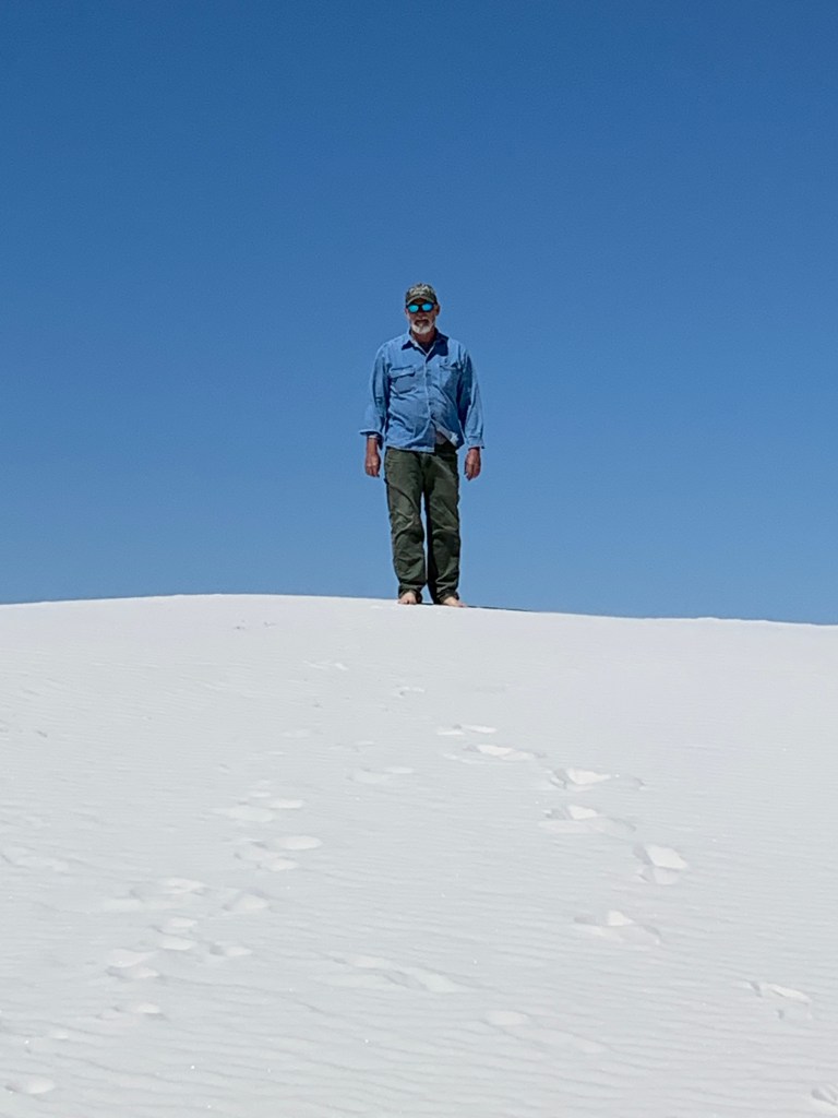
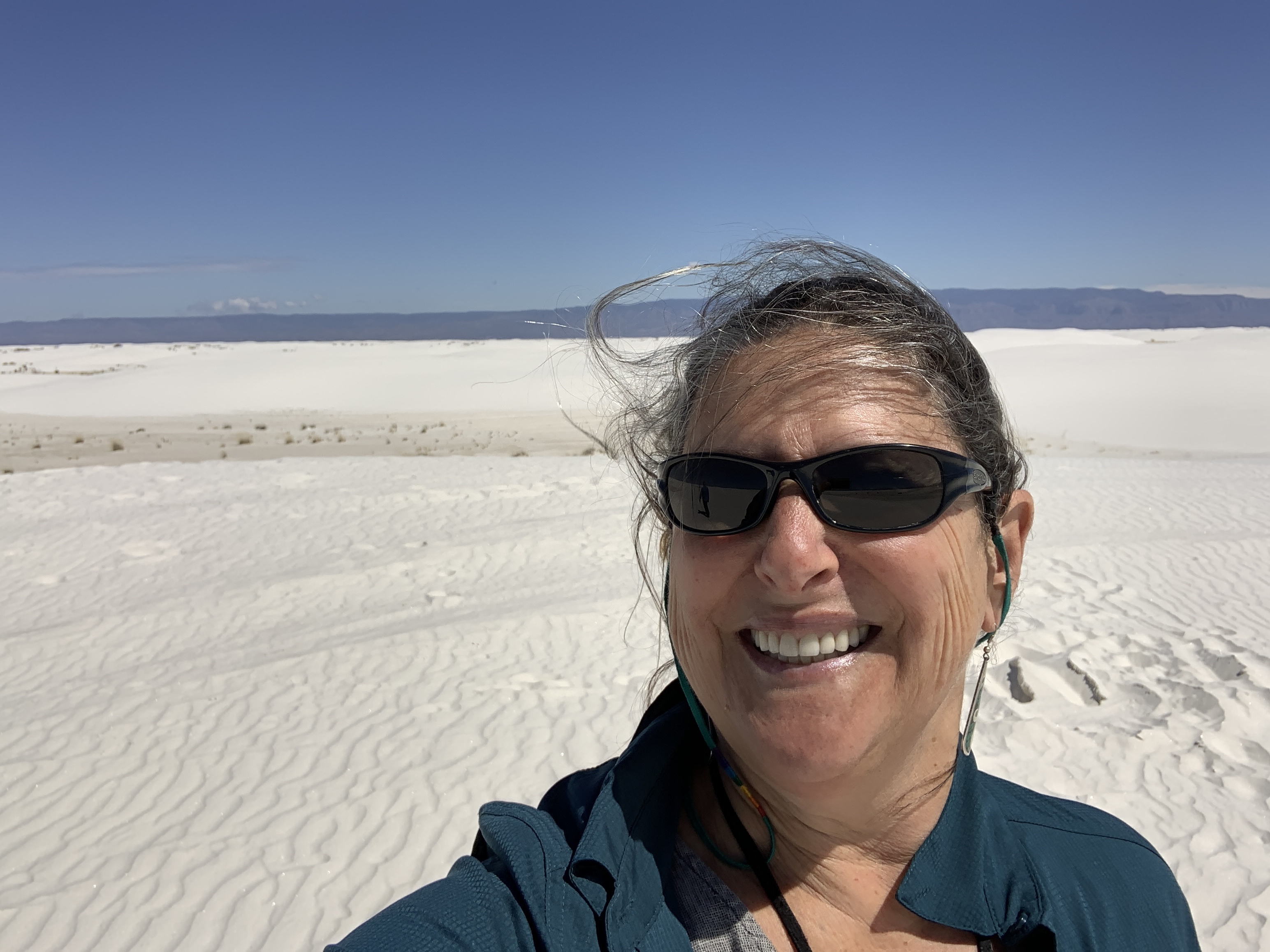
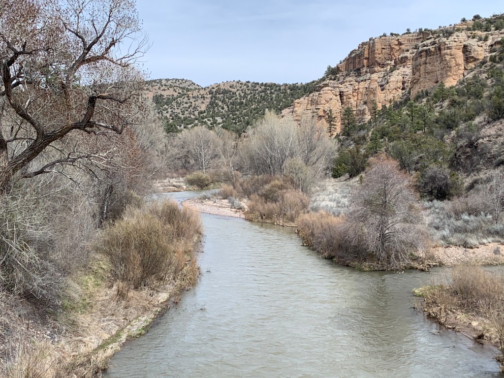
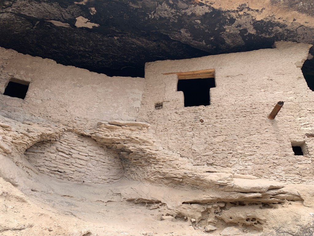
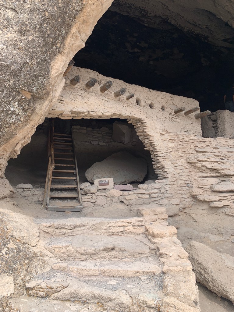
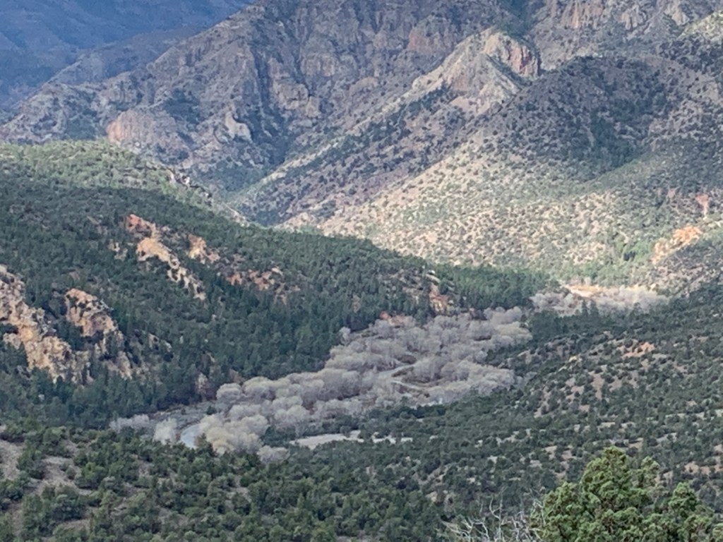
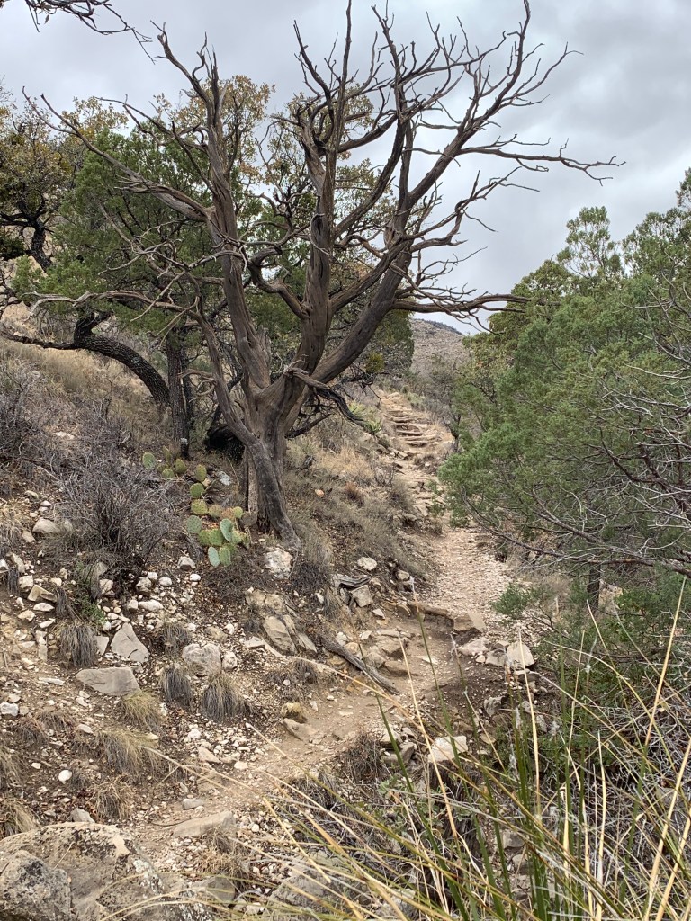
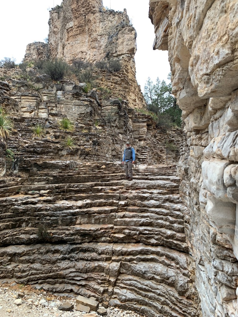
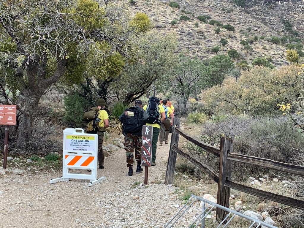
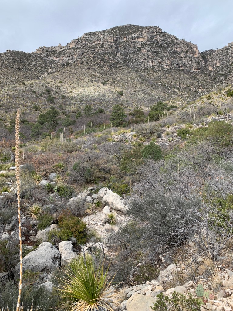
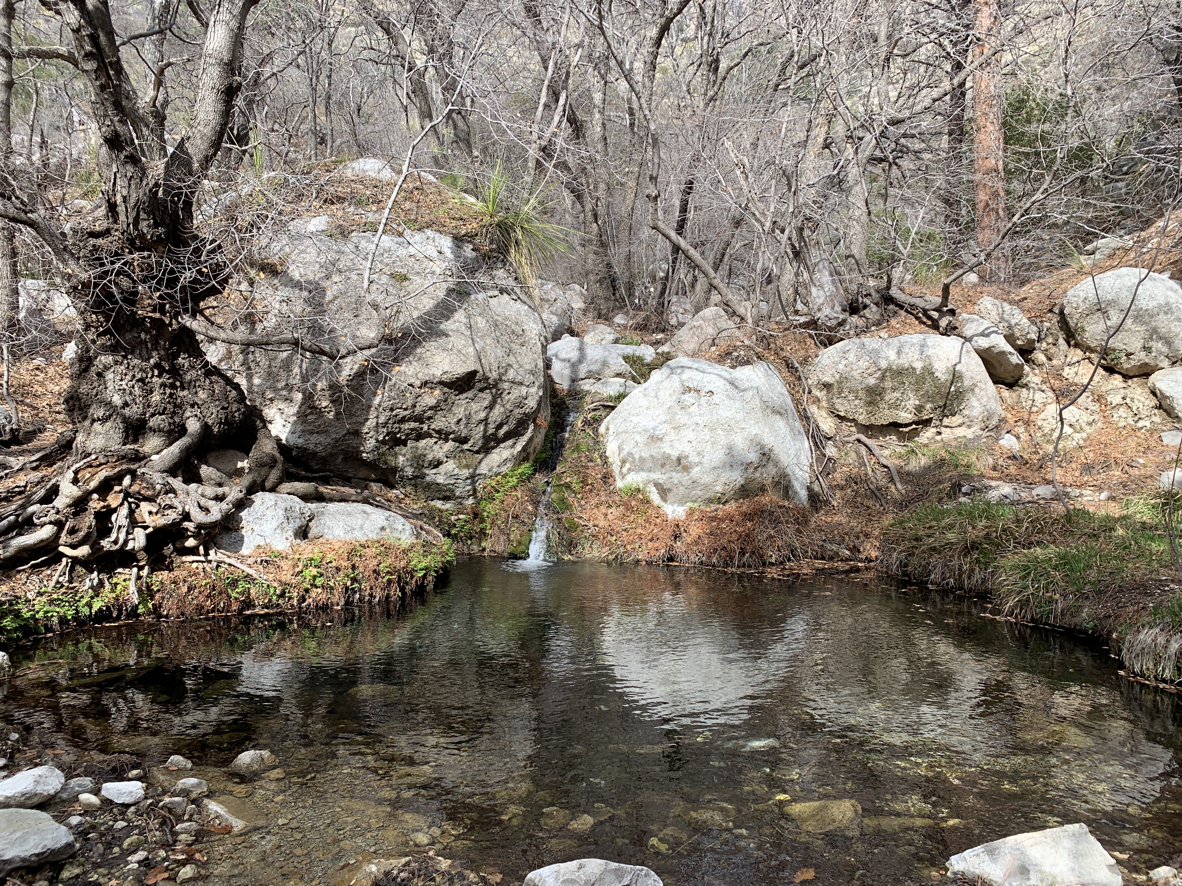
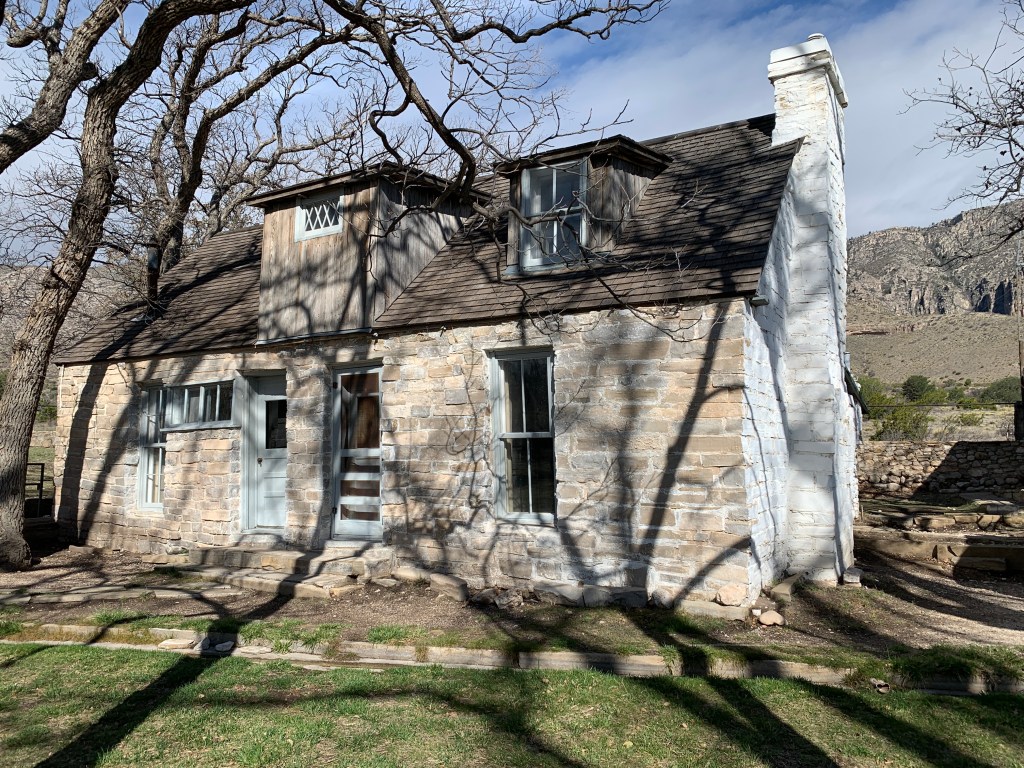
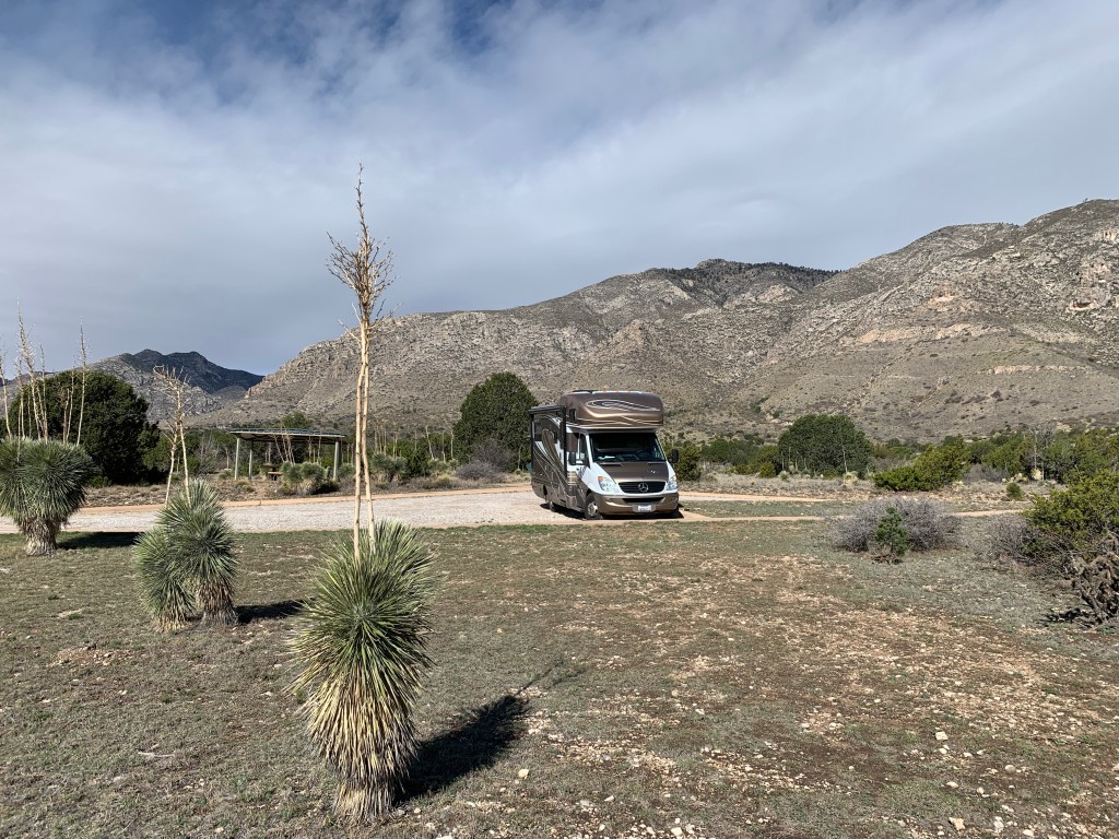
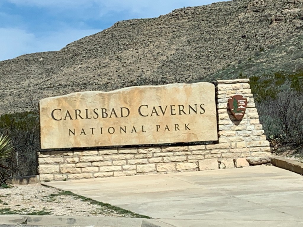
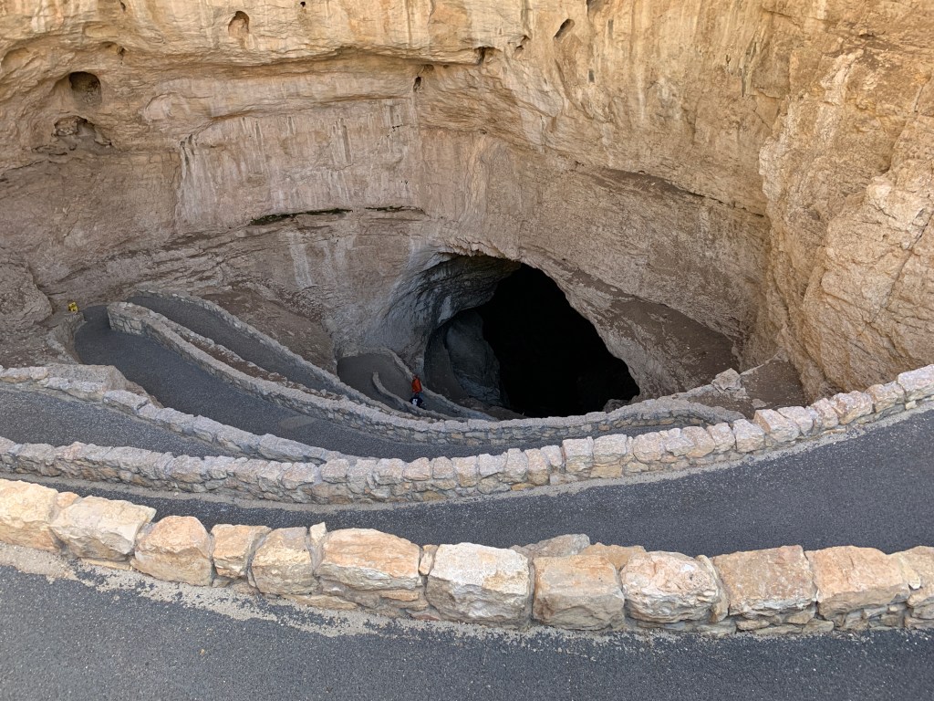
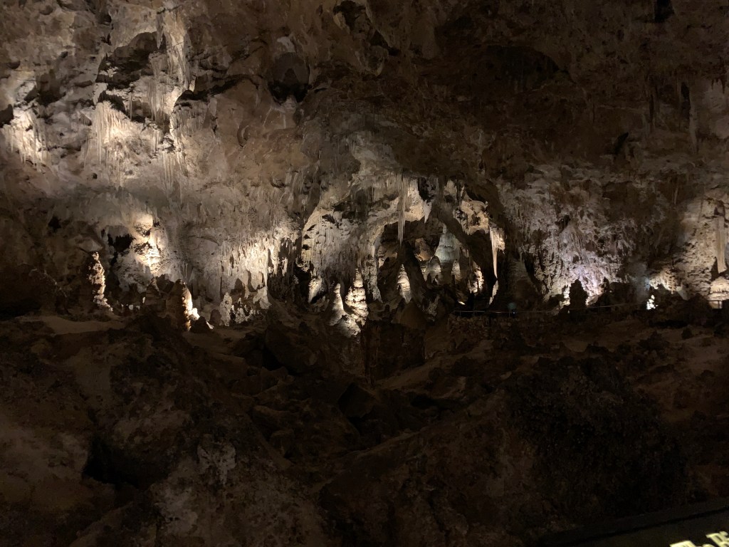
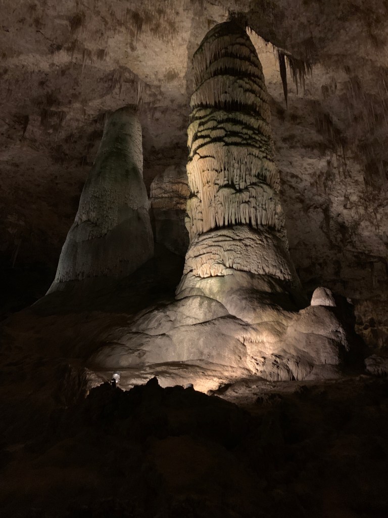
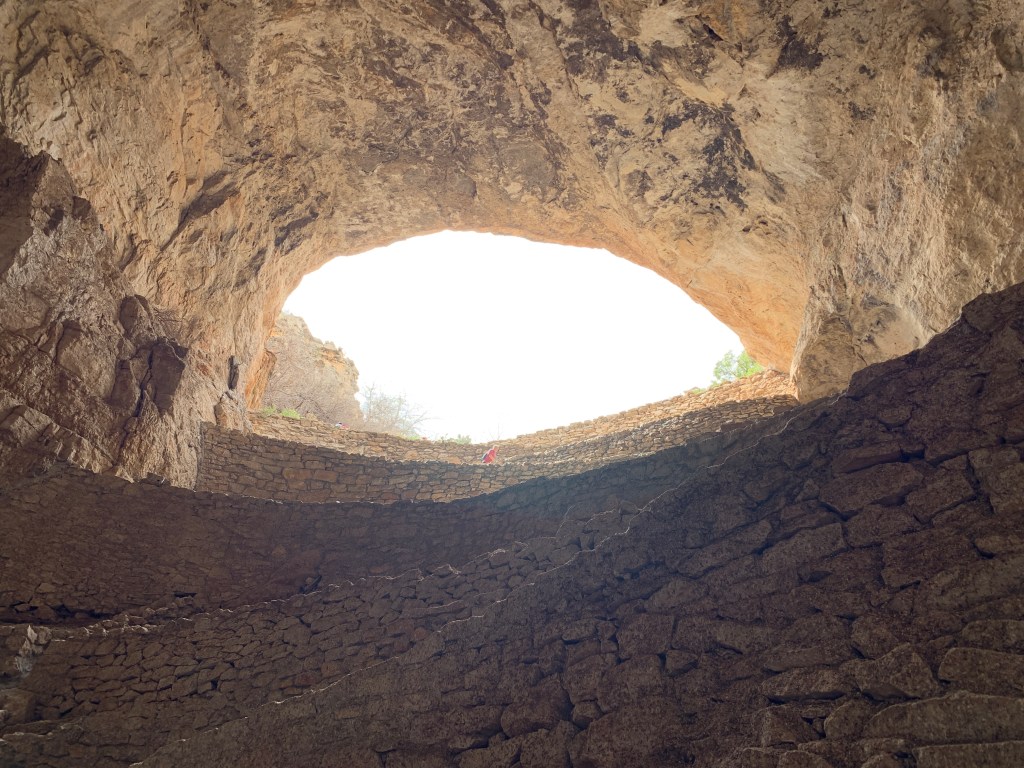
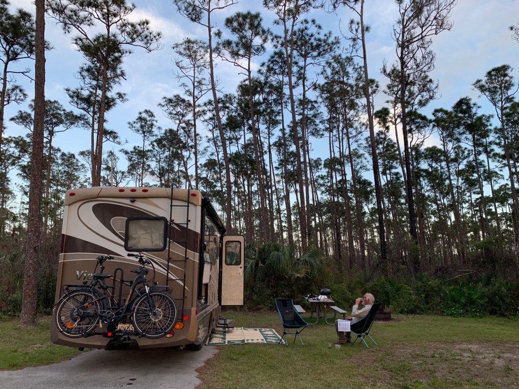
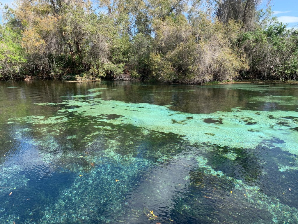
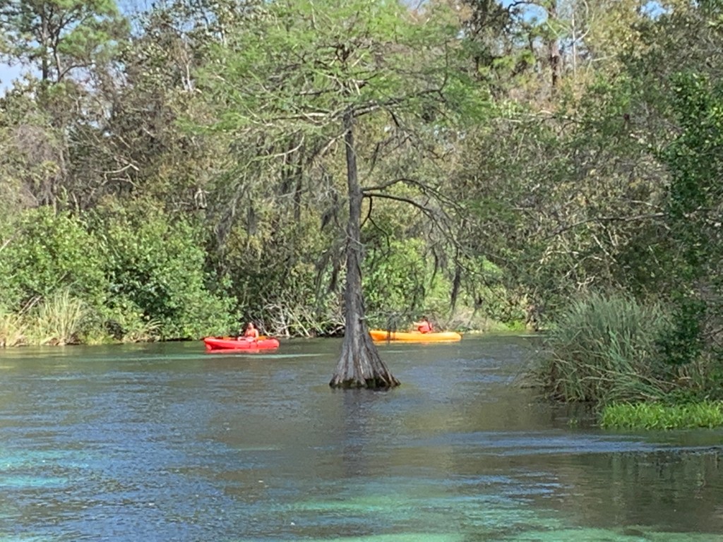
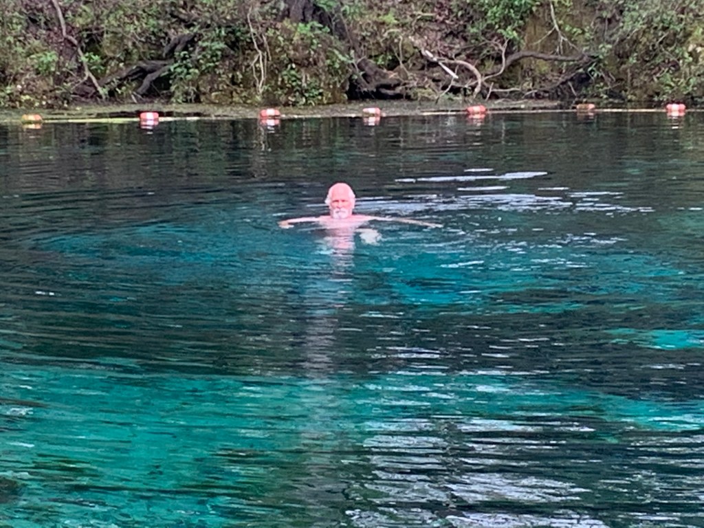
National, State, and Local Parks

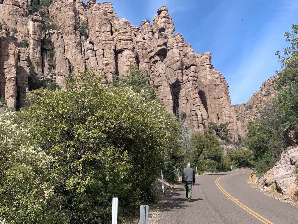
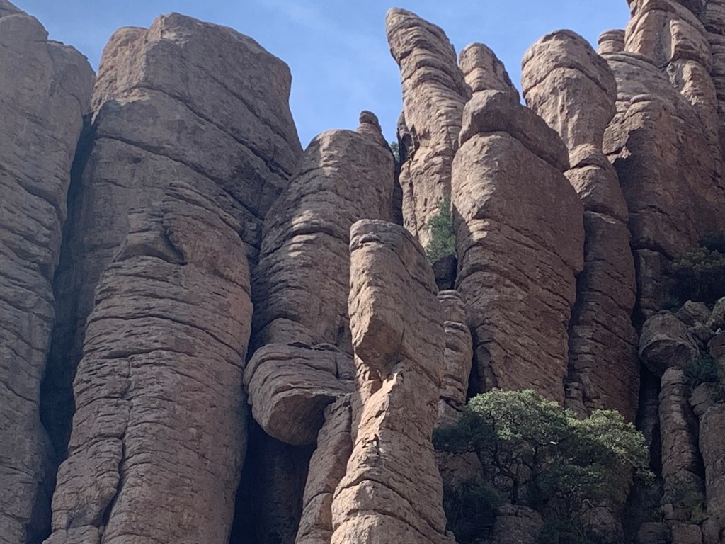
America’s most amazing places! If we could have spent the entire trip in parks, we would have. As Californians, we’re used to the fact that you have to be on a computer the very second that campgrounds start taking reservations, 6 months in advance. This doesn’t suit our type of travel, which is pretty much showing up the day we would like to stay. We did, however, discover that there are many, many campgrounds that have walk-in or cancellations, and this enabled us to continue our luck.

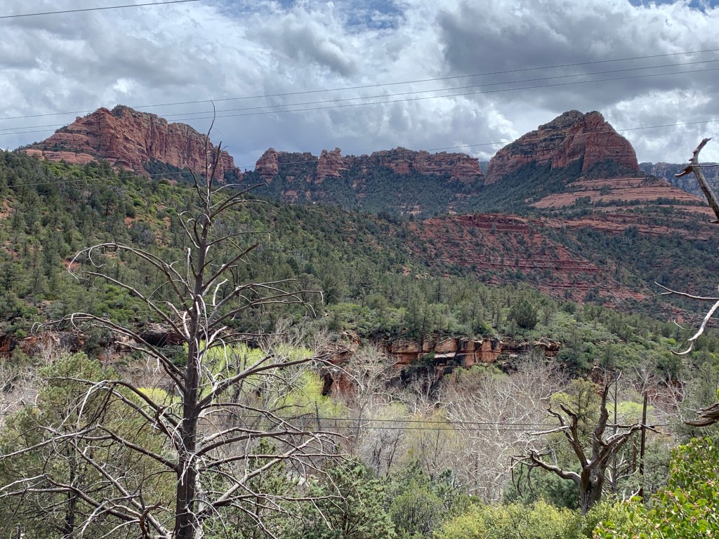
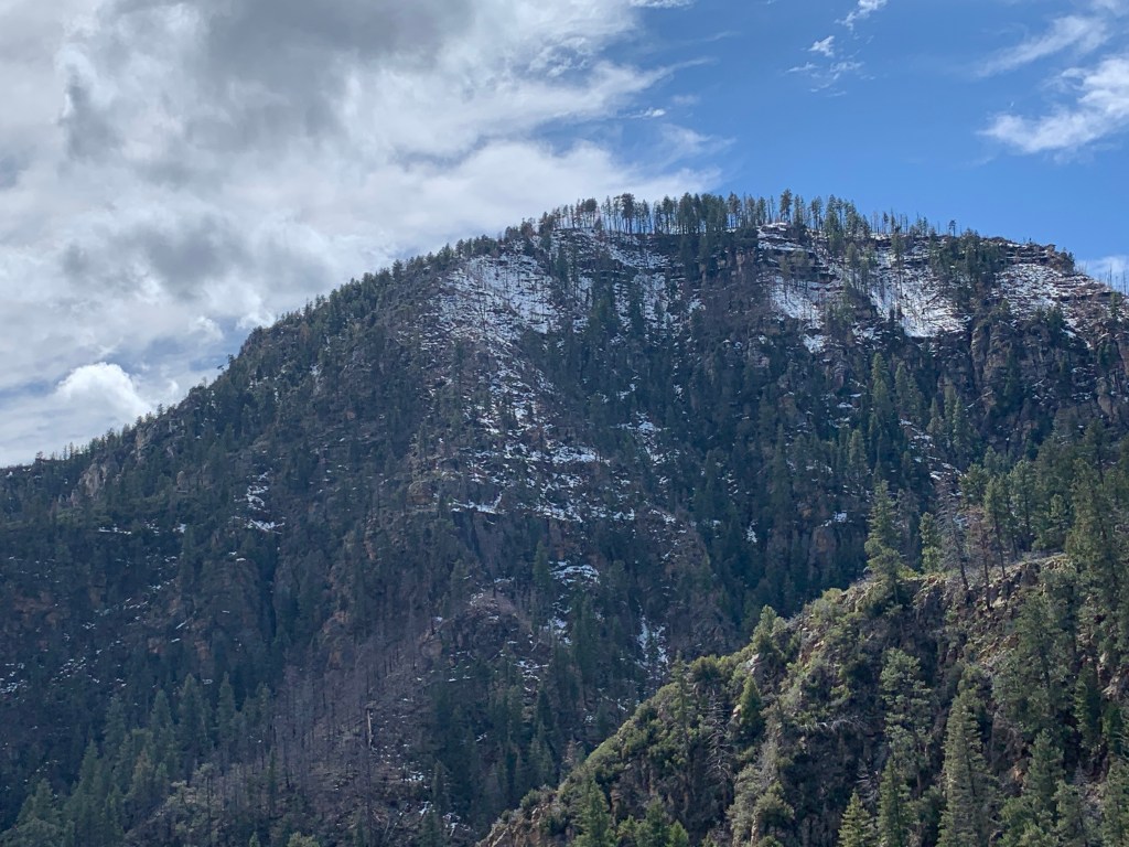
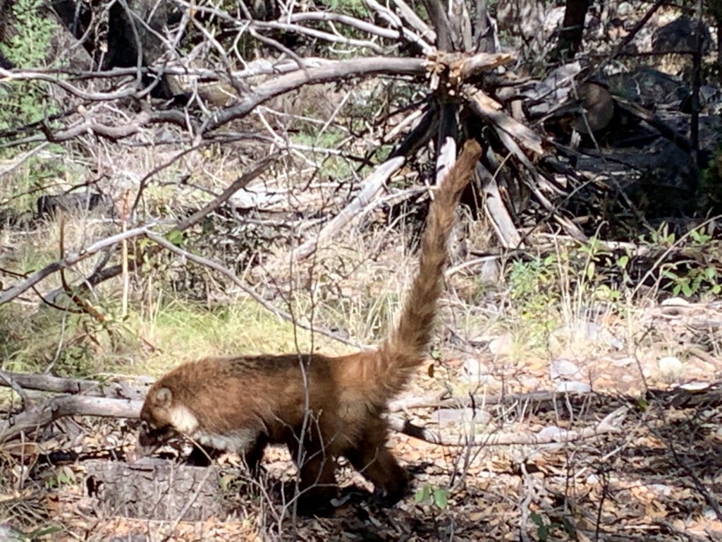
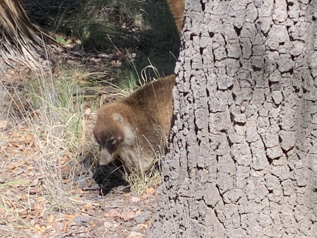
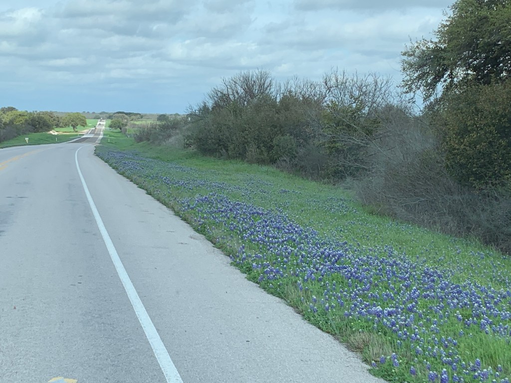
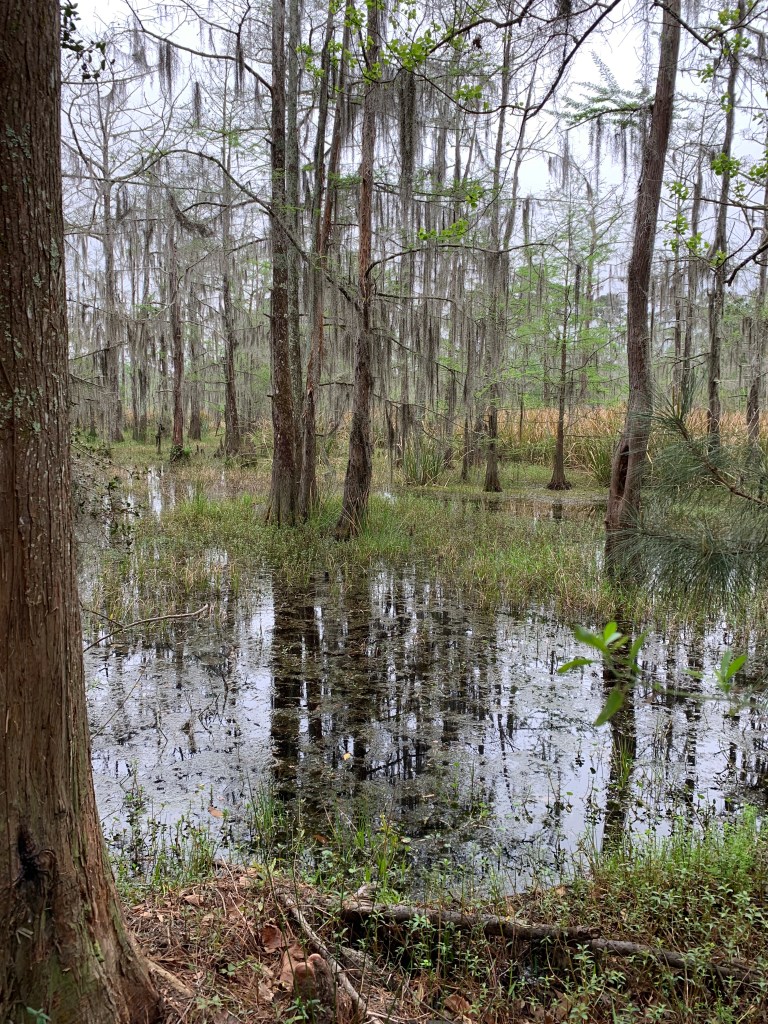
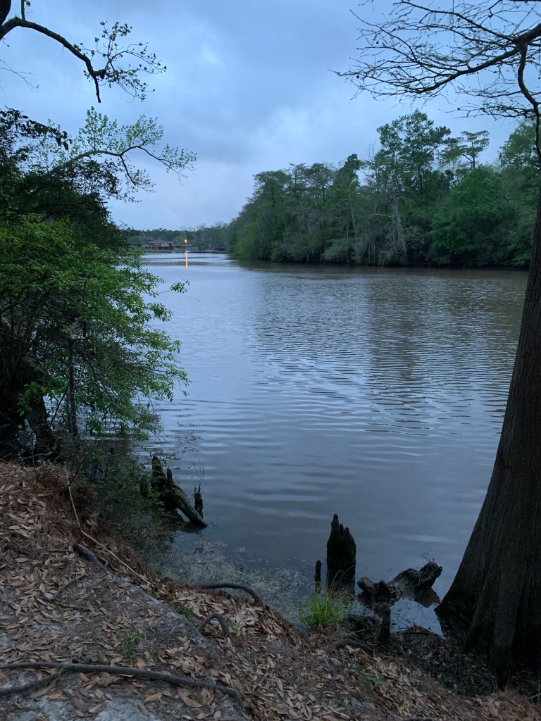
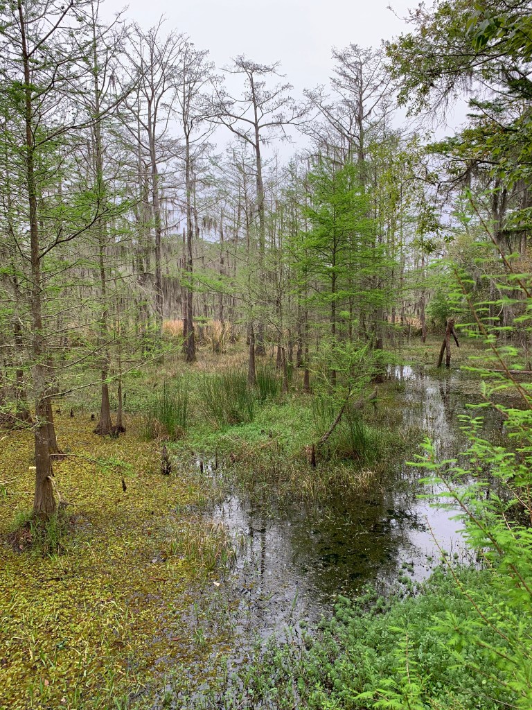
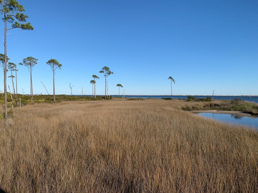
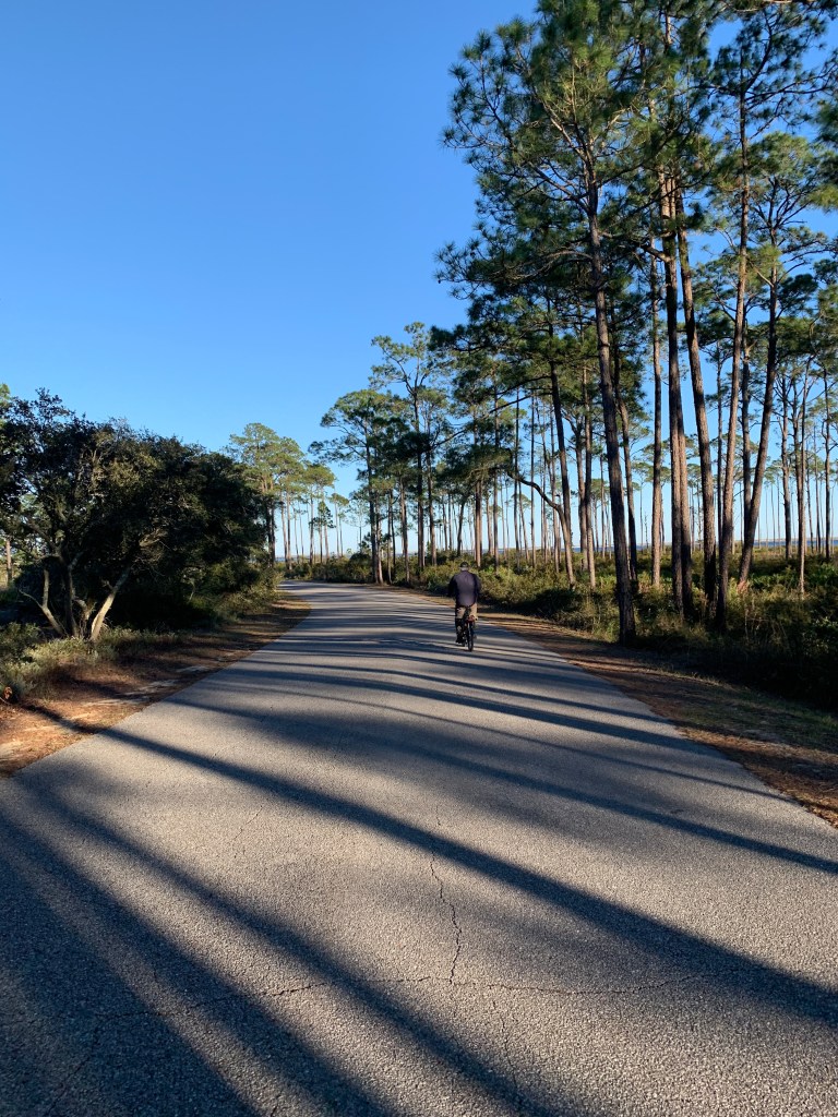
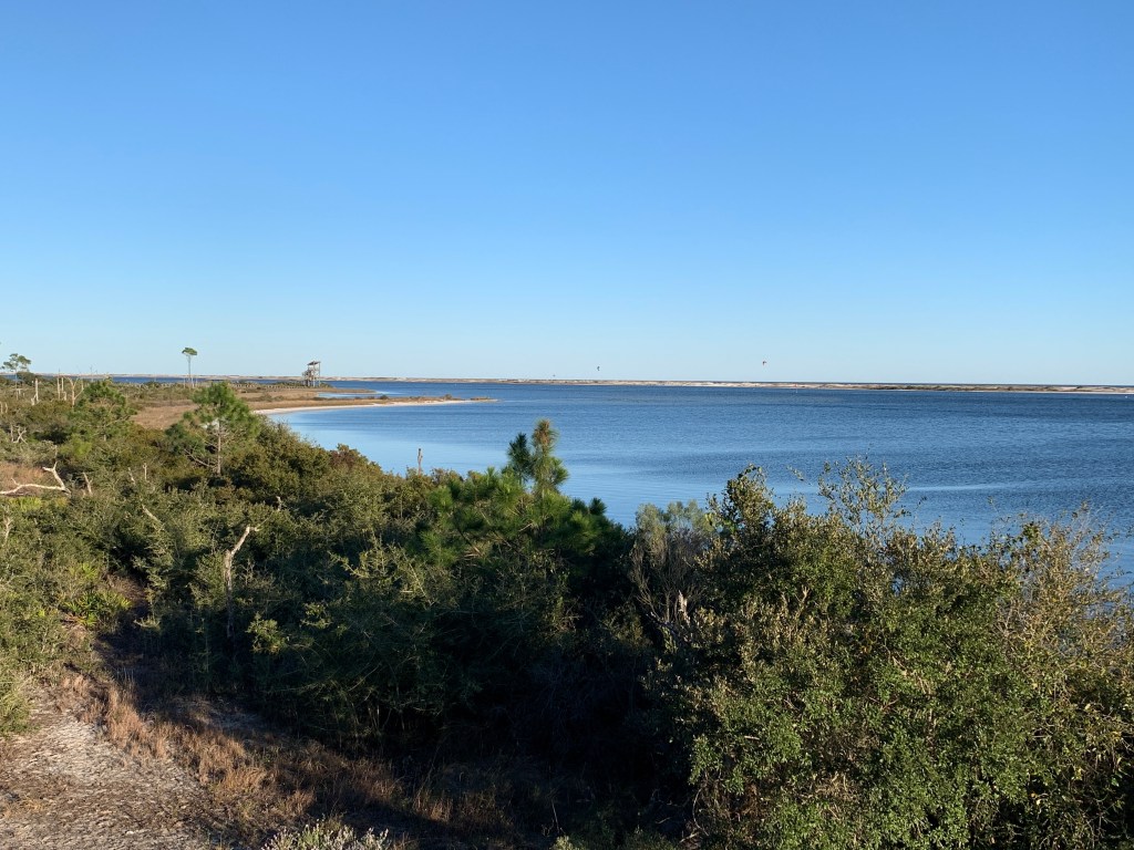
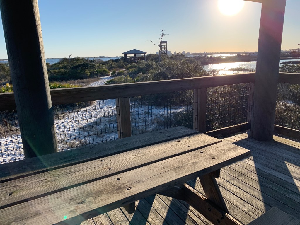
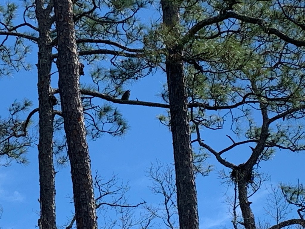
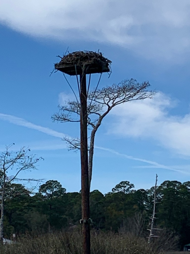
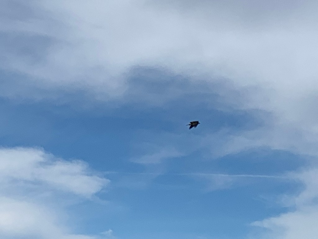
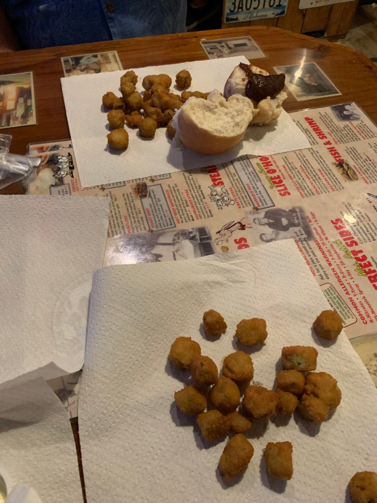
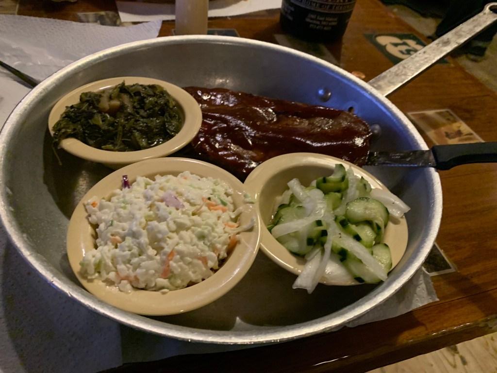
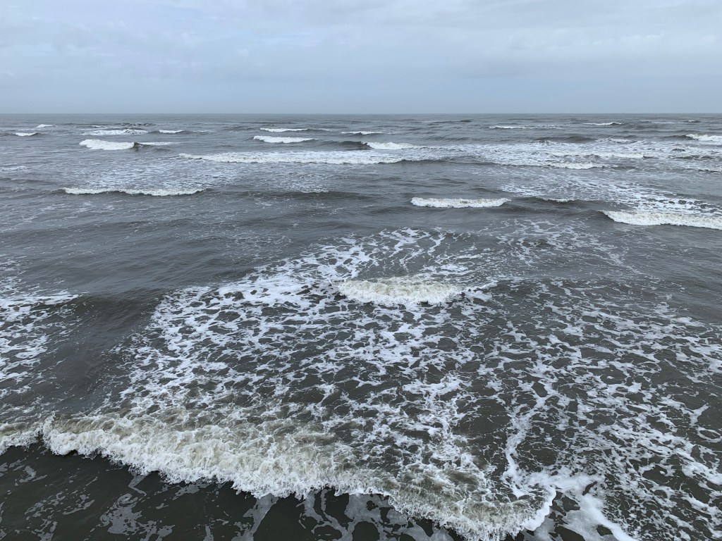
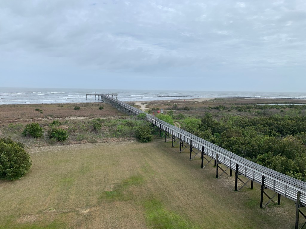
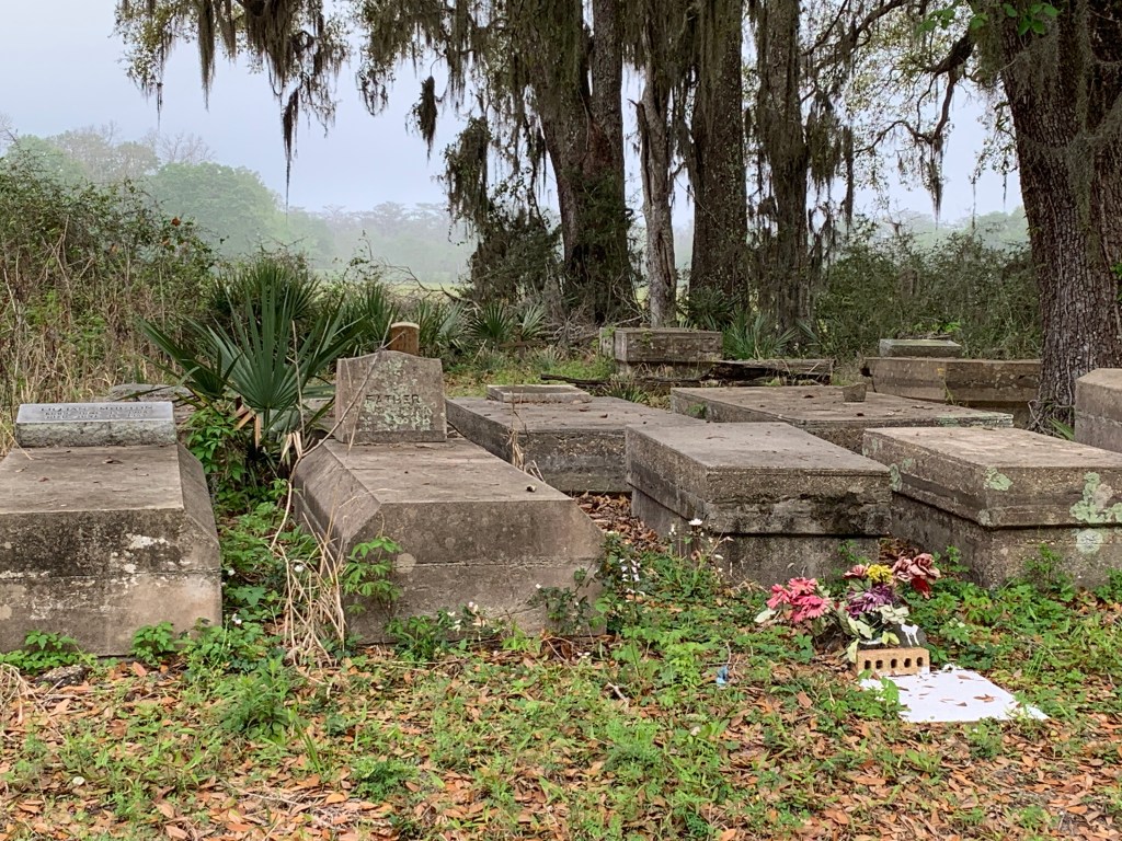
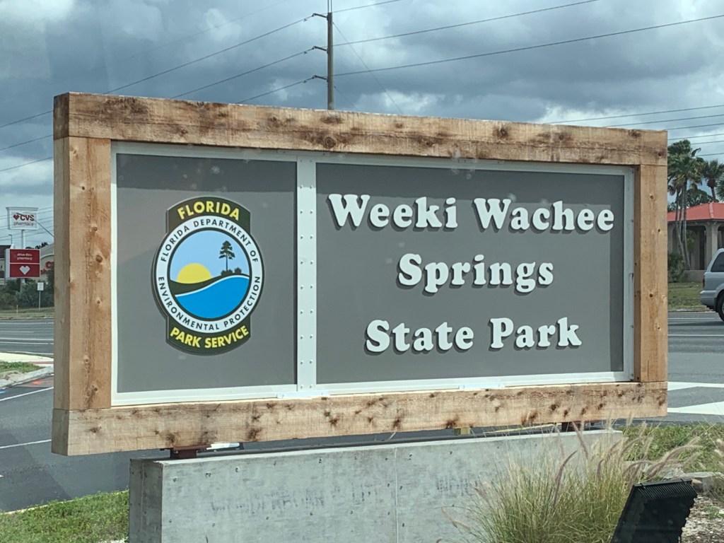
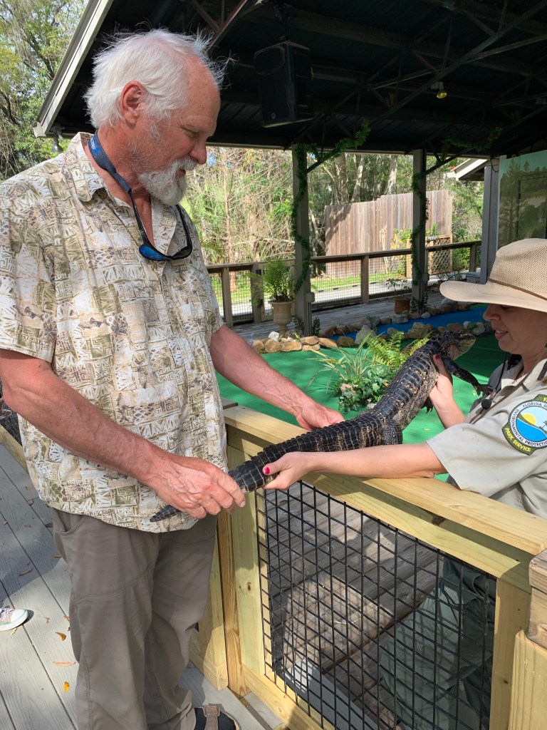
Also, parks have the most amazing things to look at and experience – hiking, biking, natural features, man made features, gift shops! We were especially impressed with state parks in just about all the states we visited. They were well kept, well managed, inexpensive, not over crowded (except for Florida, where we couldn’t get in and many were damaged by previous hurricanes).

People

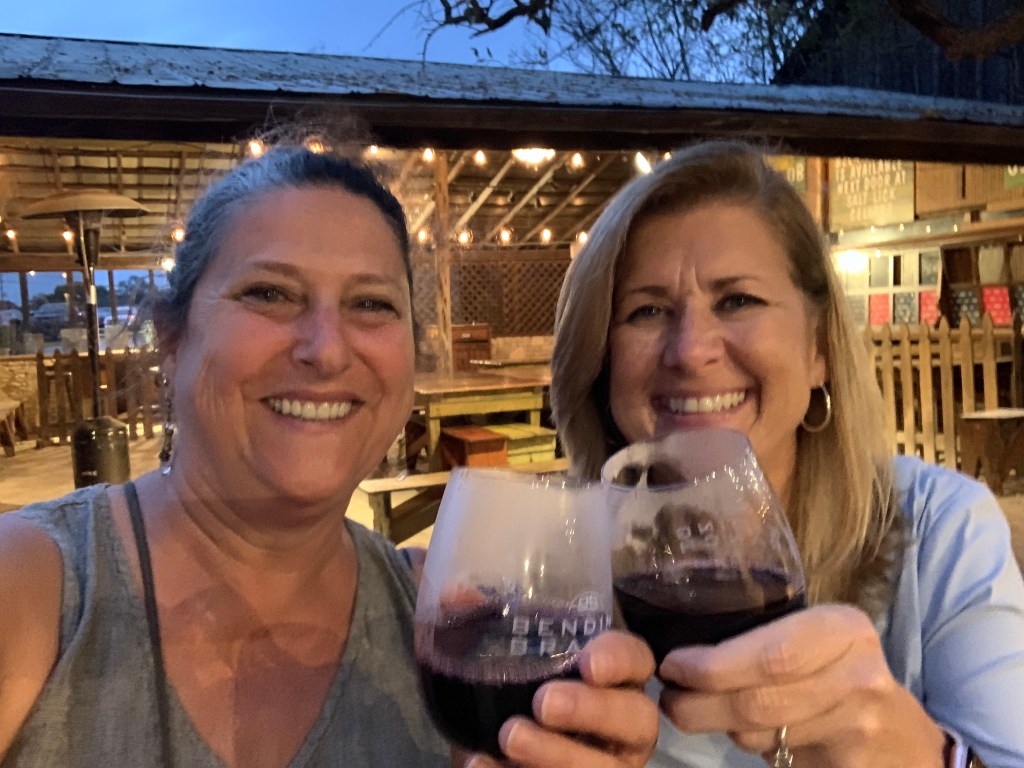
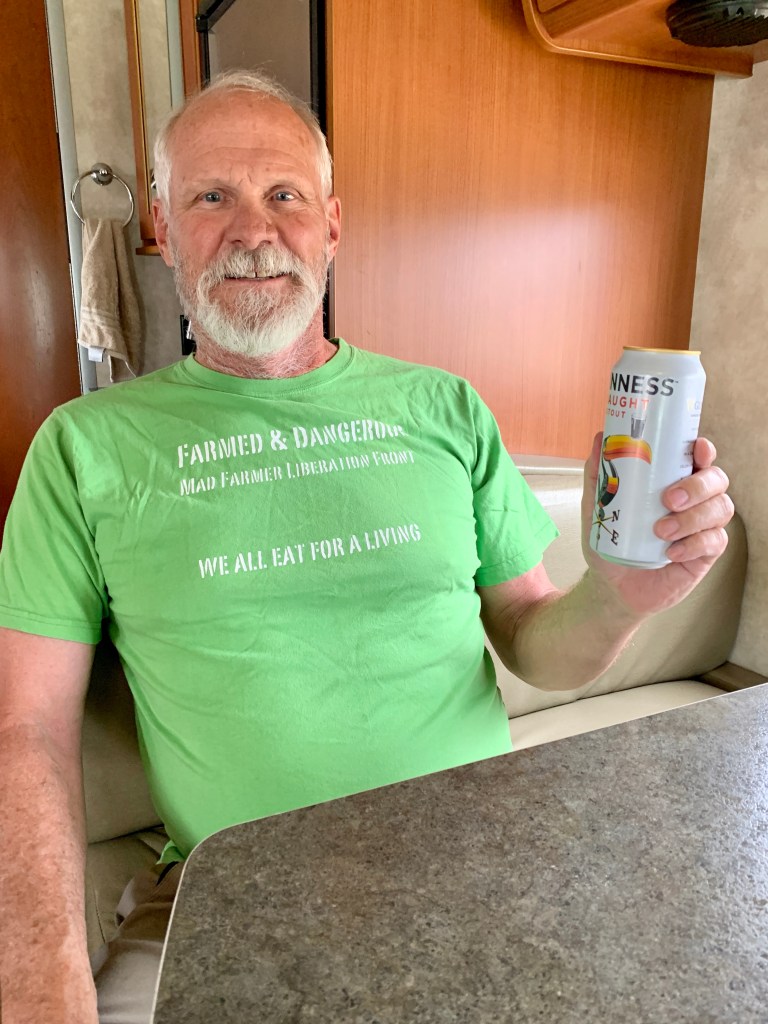
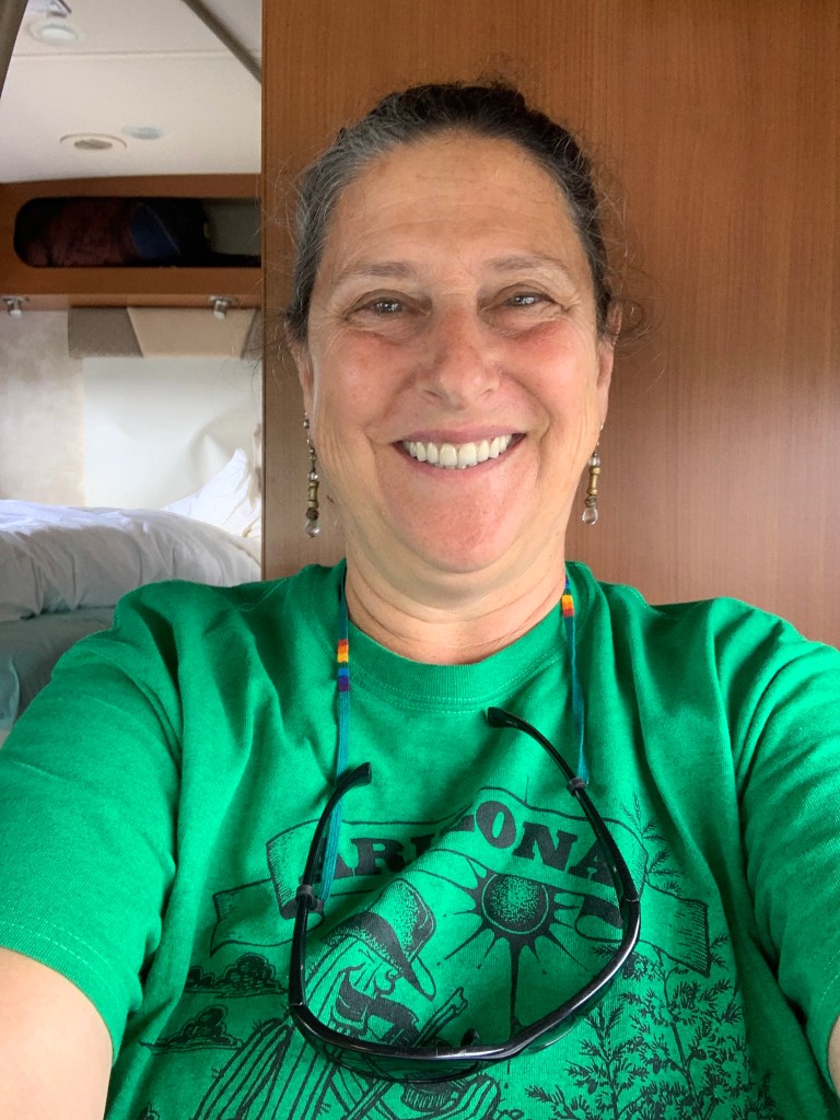
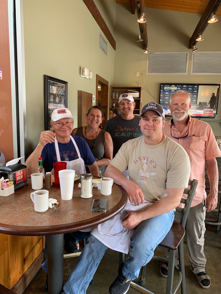
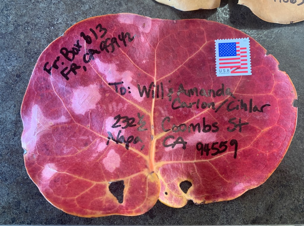
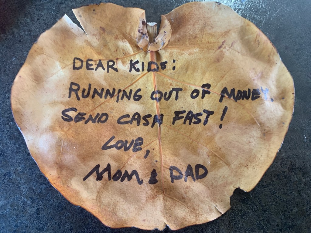
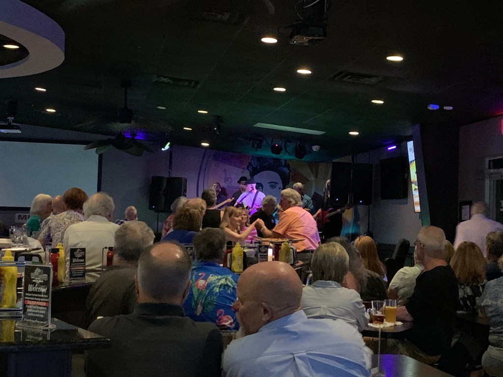
Last but not least, the people we met were really overall wonderful folks. The demographic of our type of travel was us. As John said, it was just like college where everyone you meet is your own age and doing the same things you were. Mostly. We met retirees who spend months every year volunteering at various parks and recreation areas, we met full-timers who were on the road in their home on wheels, moving around or staying put for long periods. We met vagabonds and vacationers. Everyone was respectful, mostly tolerant, adventurous, and we even made some acquaintances that we’ll see again! I don’t know how to explain it, really, it’s just that when you meet new people out on the road, you kind of get each other. You share experiences, cool places to explore, food & drinks, and they become your community.

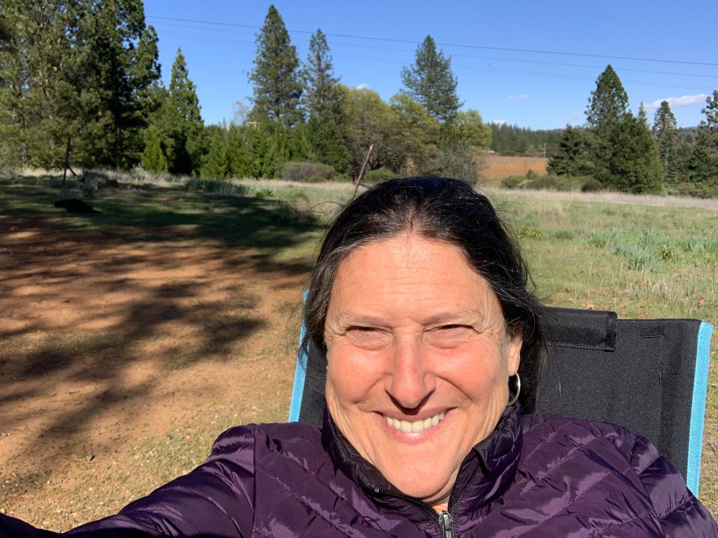
Now that we’re home, isolating on the farm, preparing for the upcoming blueberry harvest (it’s essential!), we will look back on this trip as another excellent chapter in our crazy life story. Clean the rig, put everything away, make notes on things to fix and stock up on. Thanks for following along on this little journey, it’s been really fun and therapeutic to tell you about it and share the photos. I look forward to our next adventure, and who knows where or when we’ll ever be able to do it, but I know it will happen and I know we’ll have more to explore. You all take care out there and please be safe and stay healthy.

xoxoxo Armen & John

Home Stretch

As we crossed the state line from Arizona into Nevada, it started to feel like our journey was winding down, even though we had several hundred miles to go. We also were feeling the effects of closures due to the growing cloud of coronavirus.

Since our options were dwindling for places to stay, we started searching for places to boondock. We did have to get ourselves to the north side of Las Vegas, but couldn’t resist driving on the Strip, just to see what it was like to 1) not stop for a little craps action, and 2) see what it was like in one of the biggest gambling cities in the world to be completely closed down. I have to say, it was weird. This whole experience is weird.

The empty Las Vegas Strip

After refueling, we exited the city and headed up toward Death Valley on Hwy 160. We turned off in the town of Pahrump, and headed closer to the park. We have an app that shows us where BLM (Bureau of Land Management/Dept of Interior) land is, where we could look for places to camp for free, and found a turnoff that could accommodate us. There was another camper, a fair distance away so that we each had plenty of privacy, so we set up our camp, just a few miles away from the park boundary.

Boondocking
Sundowners just outside Death Valley 🏜

This was one of those exquisite locations, absolute serenity, no evidence of humanity in any direction (except for that one camper), and snow capped mountains and expansive desert in all directions. It was stunning and relaxing. What virus??? Just kidding, we were grateful to be spared exposure at this beautiful spot.

When we headed out in the morning, we were close to Death Valley National Park, and entered through the eastern boundary. As the park services were closed down, the road that traverses the park was still open. We stopped off at an area with some hiking trails. There were only a couple cars there, so we decided to take a hike and get some fresh air. I can’t imagine hiking here when the temperatures climb!

Hiking the Badlands Loop Trail

We carried on down into the lowlands, watching the altimeter sink as we dropped in elevation, eventually getting down to -280 feet below sea level!

Since everything was closed, we found a spot to park and have lunch. We observed a crow, normally scavenging after people drop food or garbage, but now with such slim pickings for this fella. The abandonment of public places have changed the environment for wildlife; some are frequenting places that they wouldn’t normally go, and some who depend on human leftovers are having to work a little harder for sustenance.

We drove through the park, back up the eastern boundary, headed toward Hwy 95, as we had intended to drive that north to Reno. We found a boondocking spot at a little pond south of Beatty, NV, and decided to camp there, although it didn’t even come close to the awesomeness of the night before. There were about 15 other rigs that had also had the same idea. It really was starting to feel like the world was changing for us RV travelers.

Sea level, then still downhill!
Death Valley

After some advice from a friend (thanks, Janine!), and reading stories about how Hwy 95 is a common route for truck drivers who want to avoid scrutiny (the song, Willing, keeps coming to mind “driven all the back roads so I wouldn’t get weighed….”) and getting the feeling it wasn’t the idyllic leisurely road we had hoped, we decided to head back thru Death Valley the next day toward Hwy 395 on the eastern side of the Sierras.

Back up we went, back down we went, and back up the other side of Death Valley, to some dark, dark clouds and another mountain pass to get over. I was a little nervous (ok, ok, freaked out completely) because it looked like we were heading right into a snow storm (which I was terrified of driving the RV in). So we stopped at a really cool vista point, calmed down a little, and John drove us down into Lone Pine, CA, without a single snowflake hitting the windshield.

Looking west, heading back down
Social distancing at the Vista Point

When we came down out of the mountains, we stopped at a little village on the east shore of Owens Lake, you know, the lake that Los Angeles drained back in the 20’s, when the Owens River was diverted. It’s a salty, mucky, dusty playa now, with a dust problem- it’s one of the largest single sources of dust pollution in the US, with millions of tons of dust carried away from the lakebed each year.

Abandoned pool at the edge of Owens Lake

One of the mining towns left over from the good old days is Keeler, which we stopped at for lunch. It’s like an almost ghost town, much of it looks abandoned, but a few signs of life exist.

Owens Lake
Alabama Hills

As we drifted in to Lone Pine, we decided to check out the camping options at some BLM land west of town in an area called Alabama Hills. This area was known back in the day for its film backdrops in westerns for the likes of John Wayne. I’d heard about it and seen photos, but neither of us had ever been there.

Our rock backdrop
Looking toward Mt Whitney
Cowboy country (Hollywood style)

Well, Alabama Hills was the PERFECT place to land and be able to avoid people. It was the most gorgeous landscape and the views of Mt. Whitney right in our front yard were spectacular. Especially since that snow storm I was hoping to avoid the day before had dumped some fresh powder up there the afternoon before!

The road in was the Whitney Portal Road, where folks head up to when they want to hike the mountain. It’s closed in winter (just as well, cause John would have driven up there in the RV…). There was also a sign for Movie Road, commemorating the long forgotten filming that took place out there. We hiked around the hills and rocks, enjoyed some leisurely lounging around this peaceful place, then packed up and got a little closer to the mountain before heading back to Hwy 395.

Whitney in our front yard
Mt Whitney

Moving north, we managed to find a campground still open, and stayed just north of Bishop for the night. We went for a bike ride, relaxed a little, looked at the snow capped peaks of the Sierra Nevada range, and prepared for the long haul to Reno the next day. In the morning, we drove down across the highway to a campground that was on our app, but turned out to be closed, right on the Owens River. As we were driving in, some old dude, out driving around, mind you, yelled at us to “Go Home!!!”, which I thought was ironic, cause you know, he was out driving around, too!!!

Owens River

There were signs by the river indicating it was still under the jurisdiction of the City of Los Angeles, many, many miles away from here.

Not wanting to give the old dude a heart attack, we carried on our way, heading for home.

Bye, Arizona

Well, given that we didn’t have any solid plans for this cross country road trip, we had hoped for a little more exploration and flexibility than what we ended up with toward the end. We did have amazing luck considering how things have evolved over the last two months.

We have been introduced to and reminded of what we as Americans own in the form of National Parks, Monuments, Historical Sites. State and local parks have been great and unexpected surprises. We have some of the most incredible natural landscapes and features to call ours, and we are eternally grateful to those before us who had the foresight and intelligence to deem it important and necessary to protect these resources, not only for themselves at the time but more importantly for future generations.

Passing through Sedona

Our route took us through Sedona, but the entire town was shut down in the interest of social distancing and isolating the virus. We discovered that this was somewhat of a hotspot and were disappointed, but decided that we’d come back another time to explore this beautiful part of the world.

Passing through Sedona

Since we really didn’t have a plan at this point, we decided to power on, and the road took us up into Flagstaff and onto I-40 west. We thought we’d check out some of the campgrounds that showed up on our app, however every one we passed by was closed.

Snow in them thar hills

We pushed on, of course turning off I-40 and onto Historic Route 66, because it was there!

Remember the Burma Shave signs?

And we ended up for the night in Kingman, AZ. It was a less than perfect location, but we were able to have a pizza delivered and do things like much needed laundry and showers, so it evened out. It was also fortuitous, cause the mountains we’d just left got a dumping of snow, and I was extremely relieved that we dodged that in the RV.

This was our last stop in Arizona. Tomorrow would take us into Nevada and a little closer to home.

Traveling Under The Cloud of COVID-19

As we made our way west, homeward bound, we continued to try and avoid population centers. We detoured off I-10 at Bowie, AZ and headed south toward Ft. Bowie National Historical Site, down a long, slow, gravel, washboardy road (thanks again, Google Maps!).

Spring in the desert

There were quite a few cars there, and our ultimate destination was Chiricahua National Monument on the other side of a small range, so we passed it and I kept on going. When we arrived at Chiricahua, the park was open, no services, and the campground was still open (surprisingly). We snagged one of the last 2 sites, set up and went for a hike.

Chiricahua rocks

The Monument boasts of huge rock formations, similar to the hoodoos in Canyonlands NP. There were some called Organ Pipe Rocks, and the photos don’t really do them justice with respect to their size. This place is pretty far off the beaten track and even though the campground was just about full, people were hunkered down and visitors to the park were scarce.

Organ Pipe Rocks

After a completely silent and soundless night, we packed up and drove our rig to the top of the park which is the top of a peak with some trailheads and an incredible view all the way down towards Tucson (clear air=great visibility).

Bonita Canyon Campground
Chiricahua National Monument

We hiked a little and then John got his bike down and prepared for a ride down to the bottom, about 9 miles of steep, winding, breathtaking roadway. I followed in the RV, white knuckled, cause the cliff was on my side. Also, quite glad no one was in the park, so I didn’t have to pass any cars! If you’re familiar with the road up to Marin Headlands, in the Bay Area, this was like that road, only longer and hairier.

Looking west
Ready to roll- all down hill from here

Once we successfully got to the bottom, we met at the closed visitor’s center to reload the bike and take off. As we were driving out, we saw a passel of critters that I’ve never seen before, and could not identify. They looked like a large ringtail but weren’t exactly that. They were digging around trees, and weren’t phased by our presence (vehicle stopped on the side of the road). Apparently, this is about as far north in latitude that these critters are found in the world, and we felt pretty lucky to see them.

Coatimundi

After shooting some photos from my window, we ventured off and I looked up what wildlife might be seen around these parts, and came up with the exact animal – a coatimundi, or coati for short. They actually are related to ringtails and raccoons, and were pretty trippy looking.

Coati for short

Just after that excitement, not a quarter mile down the road, we saw a vehicle going the other way, stopped, and they were looking at a pair of bobcats that had just crossed the road in front of them. We got there in time to see one of them as it disappeared up into the woods. Pretty exciting morning!!

Spring

Out of the gorgeous canyon into a blue sky beautiful day, wildflowers everywhere, clear air, and wide open spaces. We drove on into Tucson, as we had an appointment the next morning to get something fixed that they had tried on our way east but didn’t work. Since we were kind of early, rather than going straight to the RV park we had reservations for, we decided to head up to Saguaro National Park East, and had a nice picnic lunch, and drove the 8 mile loop road. It was pretty, but I feel like we saw way more Saguaros when we were down in Organ Pipe Cactus National Monument.

Saguaro NP East
Ocotillo bloom

The next morning, we got our fix done, and decided to head north out of Tucson rather than back on the interstate. The road we took went by the Biosphere 2, which we turned off to see, but found it was shut down. The Biosphere 2 is a science experiment, with controlled environments of 7 different ecosystems. It was started in the 70s, and is now operated by the University of Arizona as a research institute.

Biosphere 2
View from afar

As we worked our way north, we began discovering that not only state campgrounds were closing, but all the federal recreation area campgrounds were as well. We stopped into one of those at Roosevelt Lake, and spoke to a campground host who had turned out all the campers the previous weekend upon receiving the closure orders. He suggested a few forest service roads to camp at up the lake’s shore where you could boondock (remember that’s camping without services, without fees, without structure). So off we went, and turned up off onto FS Rd 429.

Roosevelt Lake

There were a couple campers here and there, and we found a spot to park with a view of the lake. It was quiet, peaceful, and offered a lovely respite from the turmoil of the coronavirus situation going on out there in the world. Oh, and it was also free.

Forest Service Road 429
Our own private campsite
Roosevelt Lake spring
Arizona sunset
Desert blooms
Saguaro

Strange times amongst us, we were very happy to be in some beautiful places on our journey back home.

Sands & Springs

We descended the mountains of Lincoln National Forest into the town of Alamogordo, NM to buy food. This was the first time we’d really seen evidence of people scrambling for supplies, and we saw many shelves empty of paper products, bakery & dairy items, and zero eggs. Fortunately for us, we like stuff like organic & unusual foods, so we found enough of those things to keep us fed for days. As it turns out, mainstream America doesn’t hoard them, so our aisles were somewhat still stocked. We were super conscientious about keeping our distances, and washed and sanitized after we came out of the store – a huge benefit to having our own rolling home sanitation unit.

Moving on just a ways out of town, we entered America’s newest National Park, which was formerly a National Monument, White Sands. It’s an incredibly unusual and beautiful natural feature, consisting of huge white sand dunes of gypsum sand, covering 275 square miles of desert. It’s also near a missile testing area, so I’m not sure I’d want to live next to it. The park encompasses just a portion of the dunes, but such a good portion that anyone who wants to could entirely avoid others, making social distancing easy.

White Sands National Park

We took the bikes down, and since it was perfectly flat, John could ride around with ease. We did a loop, had lunch, took a few photos and headed back out. It was incredibly lucky that we were able to see it when we did, because the gates were shut due to COVID-19 literally the next day. Not sure why, because as I mentioned earlier, this was one of those places that people could be out and not come near anyone else. Looking at the bigger picture, which we were just beginning to comprehend at that point, trying to get people to stay home and not go out would be ever so important.

Since we were moving back towards home, we tried to make the best of keeping our distance. We called ahead to Faywood Hot Springs, near Deming, NM, which we had stayed at and really enjoyed on our way east, and they were still open. We got there in the afternoon, and were amazed at how simple the trip was compared to our first foray into Google Maps weirdness, so we felt pretty good about being back. Since all New Mexico state parks had been closed for over a week now, the springs campground had more occupants, but everyone was very respectful and kept clear of each other. Also, the owner was there this time, and informed us that he’d be canceling reservations beginning Monday until further notice, and was worried about how he would be able to make ends meet with his business shut down. More and more we were observing the non-medical effects of this crazy virus.

The next morning, we headed north into the mountains, to have a look at Gila Cliff Dwellings National Monument. It was partially shut down, no services, but you could still hike to the dwellings, so we did that.

Gila River
Gila Cliff Dwellings National Monument

It was a short 1 mile loop, the dwellings were impressive, and it was a really beautiful drive up into the mountains. We stayed the night at a little ranch at Gila Hot Springs, and got to soak in a piping hot tub there. There was a little store in this settlement, where John was able to buy a home made ice cream, and they were practicing social distancing by only allowing a few people at a time into the store. Everyone was starting to get serious about this thing, which was good to see.

Doc Campbell’s Store
Gila Hot Springs
Gila River

We only saw a tiny portion of New Mexico on this trip, and I would really love to go back and spend more time in all parts of the state, preferably when it’s not snowing….

Racing the Closures

As we prepared to exit Texas, we had one more stop before crossing the state line into New Mexico. We turned north off I-10 and headed up Hwy 54 to Guadalupe Mountains National Park – ever heard of this one? Neither had we! From a distance, they were beautiful and severe. We had called ahead and knew already that the visitor’s center and other staffed services were closed due to the virus, but we’d been told that the campgrounds were still open, so we rolled into the Pine Springs Campground. We were greeted by a couple who were volunteer hosts (as are most of the personnel we’ve met in all the National Parks we’ve been to so far). They informed us that as of that day, no fees were going to be collected, and it was first come, first served, so to help ourselves to a spot.

The Devil’s Hall Trail

The campground there was basically a parking lot with RV slots painted and labeled, no hookups. It was fine. The view was beautiful, and it was a peaceful mountain setting. There were also several hiking trails that started at the campground. We happily picked a spot to park, got our hiking gear ready, and hit the trail, heading for the Devil’s Hall.

Devil’s Hall staircase

The weather was windy, with clouds and blue sky alternating, so we grabbed water, hiking sticks, long sleeve shirts and headed out. The trail was great and led us to a turn where we started hiking up a rocky wash. As we got pretty far into the wash, it started raining.

A little at first, then the non-stop deluge. We hunkered down in a little cave for a minute to see if it would slacken off, but since it didn’t, we kept on going up. I kind of wished at this point that I would have grabbed my rain jacket…..

We met a few people who were on their way down, and one of the last couples we met as we got close to the Hall were going very slow, and it seemed like the man was having trouble walking. John thought he might be on something, but when his female companion told us that he had fallen and hit his head on a rock, we realized he was injured, and soaked, and cold. He was walking though, so we offered him one of our walking sticks, (his other hand held his umbrella), and we wished them good luck and told them they could drop the stick off at our rig in the parking lot.

We got to the Hall, and based on the way the guy had fallen, I decided not to climb the very steep, very wet, very slippery rock steps that take you up into the Devil’s Hall. John went up, of course. I took photos and tried to stay out of the rain. On our way back down, we agreed that if the couple was still making their way, we should try and help them get him out of the canyon. And there they were, not much past where we’d left them, so we all decided that John would stay with him, and the woman and I would get down to where we could call someone for help. She had told us that he was nauseated and had been bleeding from the cut on the back of his head, and it was still pouring rain and he wasn’t making much progress.

The litter with a Big Wheel

We pretty much hustled down, and no campground host was around. As we were walking to the parking lot, a park ranger happened to drive up and once we’d reported the situation, she was able to call for help, and a “litter team” was dispatched. The female companion didn’t know what that was, but I guess I’ve been around enough boy scouts, first aid & CPR classes, and maybe watched too many movies and I explained what a litter was. (It’s the basket that rescue operations put someone who is injured in to carry them out to an ambulance). She was a nurse, however, so I’m not sure why she wasn’t familiar with that term. Anyways, by the time the rescue team had arrived, gathered their gear, and hit the trail, John and the guy were only about ¾ of a mile from the trail head. He said he just kept the guy, who was the same age, talking and slowly walking.

The litter team

It was a lot of excitement for a simple afternoon hike. It even kept the 5 boys who were camped near us (under the age of 10, I’d guess) completely transfixed – it was the first time I’d seen them still since we arrived. Their faces were plastered up against any available screen window in their trailer, and they absorbed the action. There were probably 6-7 emergency vehicles, some with lights, lots of uniforms, etc. We said goodbye to the couple as he was transported off to a hospital, and went to our rig for a much needed change of clothes, and a beer.

The next morning, we packed up and drove to the next area in Guadalupe and went for a beautiful hike to a pretty spring up on the side of one of the mountains. There was an old homestead in the flat land, and you could see why it had been built there, the spring provided a prolific source of cool, clear water, just like the song.

Trail to the spring
The spring
The homestead
Social distancing

We were starting to feel the effects of people staying away, as we only saw 2 people on that entire 4 mile hike, and there were only 2 vehicles in the parking lot.

Next stop, New Mexico. We ventured up the highway, crossed the state line, and stopped at Carlsbad Caverns National Park – we HAD heard of this one, as it’s a huge, huge cavern.

Over a mile down on switchbacks

Not a little cave. Unfortunately, they were limiting exposure to people, and the elevator that takes you down 800 feet so that you can walk another couple of miles on trails in the caverns was not operating, cause how can you stay 6 feet away from someone in an elevator? I get it. It’s just that to actually get down to the floor of the cavern, we had to walk over a mile of steep switchbacks, steep enough that your toes hurt in your shoes as you’re going down. And it was DARK. And wet and slippery!

In the caverns
No scale here, but these are GIGANTIC!!
Back to the light, almost!

Nevertheless, we did it, although once I got down there, I wasn’t really feeling like walking a couple more miles in the cavern, so we did a short loop. Also, I had carried Ryan’s birthday card down there with me, because you can mail postcards, etc. from there, like you can from the bottom of the Grand Canyon at Phantom Ranch. I dropped it in the mailbox deep in the earth, then we huffed it back up that mile of switchbacks. The cavern really was remarkable, but I think I was getting, as John called it, cave or cavern fatigue. Since there was no camping anywhere around here, we carried on up to the town of Artesia.

Artesia had groceries, so we re-supplied, and set off to find an RV park, which turned out to be a bust. At this point, it was already 5 pm, so of course I was exhausted and cranky, but after making phone calls and using all the apps I have to find camping, we were able to secure a spot in a mountain town to the west, about an hour and a half away. We drove into the setting sun, and not only did we have the DEF and CEL lights on, the fuel light came on about 30 miles from our destination. Wanna see cranky? Driving with 3 orange lights makes me CRAZY. We had filled the DEF (Diesel Exhaust Fluid) when we came out of Carlsbad, and the CEL (Check Engine Light) had been on because we had already driven way too long without filling the DEF, so while we were driving away from Carlsbad, we called ahead to Tucson and made an appointment at a Mercedes service center there to have a look when we were in town the following Tuesday. Plus, there was not one single gas station between Artesia and our destination, as it turns out. Not one.

When we rolled into our camping spot in the little mountain town of Mayhill that evening, we were exhausted from the morning hike, the afternoon cavern hike, and unexpected additional hours of driving. We were trashed. And then, after we checked in, and I turned the engine back on to head to our space, two lights had gone off and the only one left was the fuel light! It was a huge relief!!! It was such a huge relief that we stayed 2 days at that place.

Mayhill, NM

Due to some technical difficulties, John’s bike wasn’t working properly. We think rain had damaged his controller display on the e-bike, and we did some troubleshooting with the company we bought them from, and they’re sending us a new controller since we’re still under warranty. This layover was meant to stop for a minute and take care of these types of things.

Another day, another National Park (tomorrow), while we can!

Texas, Take Two

We began our route up towards the Texas hill country. We got a space in a park in Austin, and things were starting to become more clear that keeping a safe space from others was going to be a good idea. People in Austin hadn’t really got the message yet, because aside from SXSW canceling it’s 10+ day music and technology event (this is huge- and this was the first event of its size to absolutely shut down due to concerns over the virus), they were out and about as if nothing could touch them in their beautiful city. We tried to practice our social distancing and sanitizing, but crowds (like in line at restaurants) were oblivious. (I have to say that my observation was that it was mostly young people that weren’t practicing what we have come to know as social distancing – like standing 6 ft away from others, and not clustering together).

Downtown Austin

In the morning, we packed up and traveled west of the city to a suburb called Dripping Springs, where my mom & dad’s former neighbors have relocated. They also weren’t worried about us bringing anything with us, so we cleaned up, parked the RV in their cul de sac and enjoyed their hospitality taking us around Austin and outskirts, showing us lots of interesting things.

Stevie Ray Vaughn

We did eat out (BBQ not to be missed, S. Congress St. tacos), but we tried to avoid crowded areas and when we went to a local brewery, we kept our distance in line and were able to sit outdoors away from folks. This was prior to the alarms that merely touching contaminated surfaces should be avoided at all costs.

Needless to say, I believe we were ahead of the critical time and we have since survived the 14 day period where we should see symptoms or be able to transmit the virus. And in that period, we’ve been extra careful to avoid contact with others so that we may not be passing anything along. UGH.

At Jester King Brewery, keeping our distance

Our friends drove us around the city of Austin, and shared its history. We’ve really found the cities in Texas that we’ve visited to be quite interesting, more than we’d expected, and have been pleasantly surprised at how much we enjoyed the state. When we parted ways, we were given a few ideas of things and places to see on our way out of town, right through the gorgeous hill country of Texas.

Willie incarnate
UT Austin
At the Salt Lick

We stopped at a little wine tasting place, with an Airstream as a tasting room, as well as the LBJ Ranch, aka known as the Texas White House.

Wine tasting in Texas Hill Country
Inside the Airstream
Souvenir
At the LBJ Ranch

We stopped in Luckenbach, because of course. You know, Waylon & Willie & the boys had been there, and there were some great musicians playing in the dance hall there while we visited, and it was free, and there was a cold beer at the bar. Luckily, there was enough space for social distancing….

Luckenbach Dance Hall
Luckenbach, Texas

We visited Fredericksburg, an old town in the hill country, which was heavily influenced by Germans and still has many remnants of its German heritage. However, due to you-know-what, we opted to stay out of the restaurants (which at this time were still open), and stick to outdoor activities.

The Enchanted Rock

One of which was climbing the Enchanted Rock, a huge geologic feature about 20 miles out of town. Another aspect of you-know-what is that since all the schools are closed, and all the kids are home with their parents who are working remotely or have been told to stay away from work, they’re all going stir crazy and need to get out and run around. So, we were surrounded by lots and lots of kids. Lots of them.

The Enchanted Rock

Another activity we did was a drive in the country, on a road called Willow City Loop, which is known for its wildflower display in the spring. Kind of like Table Mountain back home in Butte County, California. We were just at the beginning, and mostly we saw a million bluebonnets (which I swear are lupines, but the Texans swear they’re a different plant – I need one of my plant biologist friends to straighten this out for me!!).

Bluebonnets

The rolling countryside was so incredibly gorgeous, everything was GREEN, there were ranches and woodlands, and it was a perfect way to see a bit of the hill country, and not have to worry about your proximity to humans.

The Willow City Loop
Willow City Loop
Willow City Loop

Before we left Fredericksburg, we wanted to resupply, so we went to a grocery store, which was so jammed, that we opted to find a butcher shop instead, which we did, with only a few folks inside. Then we found a natural foods store, which had everything we wanted, with many less people, and then, voila! We found a liquor store, which provided the last of our required supplies. We were very happy with how it turned out, and grateful to avoid the madness at the larger store.

Support small businesses!

As we left this area, we decided to opt for the road less traveled, State Highway 190, and while it took a bit longer than the interstate, it was quiet, peaceful, and pretty. It was nice to be free of the tractor/trailer trucks, and the monotony of I-10. Folks did the steering wheel wave (you know, when you lift a couple fingers but don’t completely lift your hand off the wheel – it’s a rural thing, we do it on our road at home). And before you know it, we were more than half way across the great State of Texas, with an overnight in Fort Stockton (which appeared to be mainly there to support oil field workers in the area). Oh, and we celebrated St. Patty’s with a party of two!

Hill country & bluebonnets
Wearing green!
Wearing green!
Fort Stockton
Fort Stockton sunset

Social Distancing on a XC Road Trip

I have to say something about the elephant in all our rooms. This thing happened (and is still happening in a big way). A new virus called COVID-19 has emerged in the world and is impacting life as we know it. It’s weird. People are falling ill, people are dying, people are scrambling to accommodate the exponential growth of occurrences, people are losing jobs, people are working from home, with kids home from schools which are closed, and people are raiding stores for every kind of supply they can get their hands on in order to self-quarantine and try to stay healthy or stop the spread of this new, scary virus.

It was handled poorly at the beginning, someone called it a political hoax, not enough personnel were available at the CDC to try and come up with a game plan to control it because their department was decimated within the last 3 years, not enough testing kits have been available for various reasons, and many people haven’t bought into the severity of the situation, which is becoming more alarming each day. Spring break still happened, and the snowbirds didn’t get sent home from Florida until after spring break was over. Now, the states are pretty much shutting down, with all public activities other than essential services halting.

We are communicating with our loved ones from afar, and thank technology for Verizon, FaceTime, Marco Polo and other apps that enable us to see and hear those sweet babes we miss so much.

As you can imagine, this has impacted our trip, and while we are still on our way back west toward home, we’ve been trying to figure out what our plan of attack is. Do we race home to self-quarantine? Do we carry on as we’ve been planning? Do we change it up a bit and look for more places where we can practice this new thing called Social Distancing? We travel slowly in our rolling home, and are limited by routes which we can handle in it. It’s a daily review, and as we’re still moving westward, we’re trying to make the best of a very difficult and WEIRD situation.

Things started getting weird around the second week of March, which is when we were leaving the Gulf Coast and heading inland. We were just becoming aware of the importance of washing hands and sanitizing any time we had any contact with anything or anyone outside our RV. Fortunately, we were already well supplied with the necessities and the runs on those type of goods at stores didn’t hurt us.

As we drove away from the Gulf, we happened to pass by Avery Island, home of TABASCO!!! We decided to detour slightly, and were happy to find out that they have a self-guided tour of the factory/facility, so we could keep our distance from folks. It was a kick, and we enjoyed it. We even got to see them bottling a batch that was destined for France. The best part was the gift shop, where it was a bit difficult to keep our distance from people, but we did our best, and got a little shopping done.

Barrels of Tabasco!!!
Kind of like a winery, but smells not the same
Bottling
Destination: France
So far
Tabasco Factory

Next stop was lunch in Lafayette. We were given some info by my friend, Anna, who is from those parts, and ended up getting a parking spot just almost right in front of a restaurant called Dwyer’s. She swears they have THE best eggplant casserole, and after having a plate full of a few different lunch item choices, I have to agree. It was fantastic.

Dwyer’s Cafe

And while we were chowing down in the bar area, the nice gentleman who’d served us our plates brought his lunch in and sat down and we started visiting. He asked us what brought us to Lafayette, and we said the restaurant. He was surprised and I think a little pleased. We didn’t realize it was his restaurant until the young server girl called him Mike, and I saw an award that said Michael Dwyer, and you know, not much gets by me and I put two and two together and realized he owned the place. So we had a nice visit, and then we got a photo of him and his two sons who also are part of the place. And then we were on our way.

Dwyer’s Cafe

Our first stop heading north away from Lafayette was Sam Houston Jones State Park, near Lake Charles. We dropped into the casino near there, didn’t enjoy it much, and found the State Park. It was pretty, serene, and not too far off I-10. There was an opportunity to hike, and we took advantage of that.

Sam Houston Jones State Park

It was a beautiful drive leaving Louisiana, once again in the broad daylight. I have to say, we really enjoyed this part of the US, and this part of our trip.

Sam Houston Jones State Park

Gulf Coast, Revisited

We really enjoyed traveling along the Gulf Coast when we moved eastward, and we decided to explore a little more heading west.

John had set up a fishing trip in Orange Beach, Alabama, so we were able to get a really nice campsite at yet another gorgeous state park, called Big Lagoon, which was just southwest of Pensacola and very close to the Florida/Alabama state lines, so we’d have a short drive to meet the captain in the morning.

Big Lagoon had a nice bike ride and we hopped on ours for a little exercise and exploration. It was coastal and felt great to get out of the rig.

We met a couple from Wisconsin and shared stories and good places to visit in our respective RVs. They gave us a good tip for our future travels in Louisiana – more on that later.

Big Lagoon

The next morning we were off bright and early-ish, and made our way to meet our captain, who was among the youngest generation of several in a family with a beautiful home on the bayou.

He was college educated (journalism major) and had come back home to Orange Beach (just east of Gulf Shores), to make his living as a fishing guide. Unfortunately for us, we just fished the whole time, and caught nothing.

We did see some great wildlife, including a horned owl & her nest with babies, ospreys, eagles, a deer swimming across the bayou, and tons of fish jumping but never biting…. We also saw some art, The Lady in The Bathtub. It was nice to be out on a boat, though, and we had the binoculars, so we got some good looks.

Horned owl on the branch, nest at the lower right
Osprey nest
Osprey (we saw it w/ binocs)
Lady in the Bathtub

We stayed the night in the Gulf State Park in Gulf Shores (the park we visited before but were unable to get a campsite within the park). We got the bikes out and while we didn’t ride the entire 15 mile loop, we did ride about 3 1/2 miles through the park to a grocery store on the edge of it to get some groceries. Thanks to the panniers that Will loaned us, we were able to transport everything without smashing it! Thanks, Will!

The next day, we lollygagged around and drifted west to Gulfport, MS, but not before stopping for an early lunch at Lambert’s, Home of the Throwed Roll, I kid you not.

The second you sit down, someone comes around with a huge bowl of fried okra, ready to spoon you a pile on your paper towel. Then someone comes around with a cart of fresh, hot rolls, and yes, they literally throw them at you. You better be on it, cause if you don’t catch it, you’re not gonna eat!

BBQ & sides

This isn’t vegan, vegetarian, nor for the faint of heart. It’s some serious down home southern fare, and the number of folks moving thru here on a Sunday after church would make a preacher jealous. It was also recommended to us by the guy at one of the state visitors centers we stopped at.

We were going to take a ferry crossing over towards Gulfport, but there was a length limit of 21 ft, and we’re at 24 (plus the bikes), so we turned up and drove through Mobile & Biloxi and headed back down toward the coast to Gulfport. We checked into our RV site that we’d reserved, got the bikes down and rode down the beach bike trail to the Island View Casino, which is thankfully smoke-free. I killed it on the penny slot machines while John worked at the craps table. Neither of us did anything to write home about, but it was smoke-free 🙂

While I post some of my favorite photos here, sometimes the actual reality of our days or nights aren’t the prettiest. This RV park in Gulfport was one of those.

It was not inexpensive, and the office was closed when we arrived, because everything is closed on Sundays in the south, so we were pretty much stuck with what they had assigned us. There was no place to cook outdoors, which was an issue for us, because since back in Long Pine Key Campground in the Everglades, we hadn’t had any propane due to a leak in the line. We turned it all off, and were in Gulfport for repairs, so we either ate out or cooked on the grill & Coleman stove outside. Not here. My issue was the value for what we got, but we were committed so we stuck it out – at least we had water & electric. And there were hot showers, so there was that, too.

Another aspect of this kind of travel is that things like the propane leak do happen. I happened to read about a Winnebago recall in a very helpful FB group that is all Winnebago View & Itasca Navion owners, so when we called Winnebago about it, they said to bring it in to an authorized service center and they’d take care of it. The problem with that is when we were in Florida, we couldn’t get the 2 service centers that were on our route to work with us within a reasonable amount of time (no, we’re not waiting till the end of March to bring it in…), so we looked ahead and found a place near Gulfport that would order the part and take care of it when we brought it in on our trip through. They were so great, and I’m going to write them a good review.

We waited for UPS to drop the part off, ran some errands in town like haircut for John, groceries, pay bills, and then we were in and out of the service center and back on the road.

Fastest haircut ever

We only made it as far as the local brewery in Gulfport, and had some craft beers while planning our next leg of the trip. It was great to get some good beer!!! I happened to be wearing my Resilience T-shirt, and noticed a Resilience plaque in the window behind the bar and asked the server if they had brewed it. She said no, but the owner really loves the Sierra Nevada brand and has great respect for the owner of SNB. We proudly boasted that it is from our hometown (close enough).

For those that might not be aware, Resilience was a beer that was created by Sierra Nevada Brewing Company (of Chico, CA & Mills River, NC) after the devastating Camp Fire which destroyed many communities in our county in Northern California in November, 2018. Ken Grossman, the owner, challenged other breweries throughout the US to brew the same recipe, call it Resilience, and donate proceeds from its sale to recovery efforts from the fire.

Over our beers, we brought out our trusty paper maps, and started planning the next week’s route. The same server came over and commented that she’d never seen anyone use a paper map before…..

Since we hadn’t yet left Gulfport, we decided to forgo the crappy, overpriced RV park, and park in the Island View Casino’s lot, which they allow RVers to do, for free. They give you a pass, there is a security guard that patrols the lot every hour or so 24/7, and since we now had propane to cook on, we were set for the night. There were a few other RVers in the lot with us. No pics, sorry. You can use your imagination for this one!

The Mighty Mississippi River

Those nice people you heard about before had told us of a great state campground down in Louisiana on the Gulf, south of New Orleans, so that’s where we headed next. It’s called Grand Isle, and while it was quite a trek down there, it was worth the effort. It was pretty, clean, quiet (except for crashing waves, which are themselves relaxing to listen to), and in addition to a nice long beach to walk on, there was a free laundry for campers – bonus!!!!

We stopped at a little restaurant tucked away in the hamlet of Houma. It was recommended by the handyman at Grand Isle, and it was a good representation of Cajun fare. Grilled oysters were to die for, this the food shot.

Cajun & Critters
OMG so good

Our last campsite before leaving the coast was at a tiny little parish park (not county, as I was gently corrected by the nice Cajun host), called Burns Point Park. It was at the end of a long road (actually only about 15 miles, but we felt like we were way out somewhere), south of Lafayette, Louisiana.

There were a lot of gas wells and that kind of industrial activity in a completely green and serene rural setting- what a contrast. It was almost too quiet, and we agreed that if we got to the end of the road and the campground was sketchy, we weren’t so far away that we couldn’t turn around and head towards civilization.

Single wide trailer up on stilts
Local cemetery- caskets are concrete and places above ground due to extremely shallow water table

It was a quaint park, the folks who were there were all locals – the people next door were from 7 miles back to the road, and we got a waterfront spot with full hookups for $15.

Waterfront real estate
Chef John

It was a lovely and peaceful way to wrap up a nice part of our trip, because the following day would take us into Social Distancing mode.

Last gulf sunset

West Coast Florida, Revisited

We had an opportunity to visit with some fine folks in Naples, Florida, so this set the route back up the west coast rather than going up the eastern seaboard. We spent one night before Naples back in Everglades National Park, but in a different area (it’s a huge park), and a new campground – Long Pine Key Campground.

Pines and palms
Long Pine Key Campground, Everglades NP

It was a short stop over, but a really pretty spot, and we had a nice evening before heading out and west to Naples. We got to drive through the park and Big Cypress one last time. On the way, we stopped to drop some mail off at a tiny little post office in Big Cypress.

Ochopee, FL US Post Office

The novelty was enhanced by the pieces of mail we were sending home to the kids. When we were in Key West, Robin had told us about the sea grape leaves and how because they were pliable and didn’t crack and dry out, you could (or used to be able to) put a stamp on them and mail them, like a postcard. Or as Will called it, a postleaf.

So John found a couple while we were in Key West, and when we stopped in Long Pine Key, he wrote an important message to each of the kids, and we addressed them and stamped them, and dropped them off at the little post office on the way.

I took photos of them, cause I wasn’t sure they’d arrive intact. As it turns out, they made it fairly unscathed, to Napa & Redwood City, and I’m dying to know what each person that handled them thought of a) the postleaf, and b) the message on the back. Needless to say, we’re still waiting for money…..

When we got to Naples, we entered into a world that we had so far not experienced – a gated community. The folks we were visiting are in-laws of in-laws, and we’d met them at a family wedding last year. Through the kids, we were put into contact with them, as they are wintering down in Florida (snowbirds), and we were so lucky to get to spend time with them. This was also the first time on this whole trip that we’d stayed overnight in a place other than our RV. What a treat!

Mary and John
Armen and Chip

Laundry, showers, fun conversations, lunch and dinner out and even some live music at a club they knew about, called the Dogtooth. It looked like a total biker bar from the outside, and when we got in, it still looked like a biker bar, but it was full of folks older than us. They were all out for a Tuesday night on the town in Florida, and the music was really good! We had a blast!

Geezers out for some great music
The View blends in with the gated community

Our rig fit right into their driveway, so we didn’t break any HOA rules. As we said our goodbyes in the morning, we were sent away with a specially packed lunch, and a much enjoyed and appreciated rest. Thanks, Mary & Chip!

The next stop was an overnight at a small RV park in a place called Weeki Wachee (aren’t the names amazing?). We had been told about some springs that were the centerpiece for a state park that featured mermaids, so you know we had to go check that out. We arrived too late in the day for a peek, so we checked into our park and had a nice relaxing night before heading out in the morning to the mermaids.

As it turns out, this was an interesting little place, with some educational rangers talking about wildlife, a boat ride on the river that the springs are in and around, and of course, the mermaids! You think I’m kidding?

We had no idea what to expect, but there was an underwater theater, that sat probably 100 people and looked at a glass wall behind which the mermaids performed a sort of musical (we saw Hans Christian Anderson’s The Little Mermaid – who knew he was the author of that one???).

Education and petting a baby gator

The guy who built the attraction in 1947 carved out limestone to create the underground theater which looks at a natural pool fed by the springs, and which is so deep in parts that the lowest point of the pool hasn’t ever been measured. Weeki Wachee is actually a Seminole name for “little spring”. The spring is connected to the river, and fish swim around in the pool along with the mermaids, which makes for an interesting contrast. The mermaids (because they’re not really underwater creatures and still need to breathe) have tubes or breathing hoses that they can get air from while they’re doing their performances about 16-20 feet under the surface of the water.

River boat ride

More than 100 million gallons of fresh water bubble up from the springs every day. It’s crystal clear, and quite impressive. The state of Florida purchased the attraction and property about 12 years ago, and it was kind of a funny place to imagine as a state park, but there it was.

River boat ride
Here come the mermaids

Moving on from mermaids, we traveled back up to Fanning Springs, one of the state parks we visited on our way down, and since we were inspired by mermaids, we decided to stop and test the spring fed waters at Fanning. There is a roped off swimming area, roped so people won’t swim out into the Suwannee River, not to keep gators and manatees out of the springs. It’s clear and pretty, but it was a little cool for me, so I documented John’s swim by taking photos from different vantage points and making sure there weren’t any gators swimming with him….

Not a manatee, in Fanning Springs

Final stop this day was our old haunt, the Tallahassee Elks Lodge, cause you know, this was Thursday night and there’s a weekly pool tournament at 6 pm. While I chatted with old friends (from 3 weeks ago) and made new friends, John played not one of his best games, but gets a pass because it’s been weeks since he’s played at all.

Design a site like this with WordPress.com
Get started