As we crossed the state line from Arizona into Nevada, it started to feel like our journey was winding down, even though we had several hundred miles to go. We also were feeling the effects of closures due to the growing cloud of coronavirus.
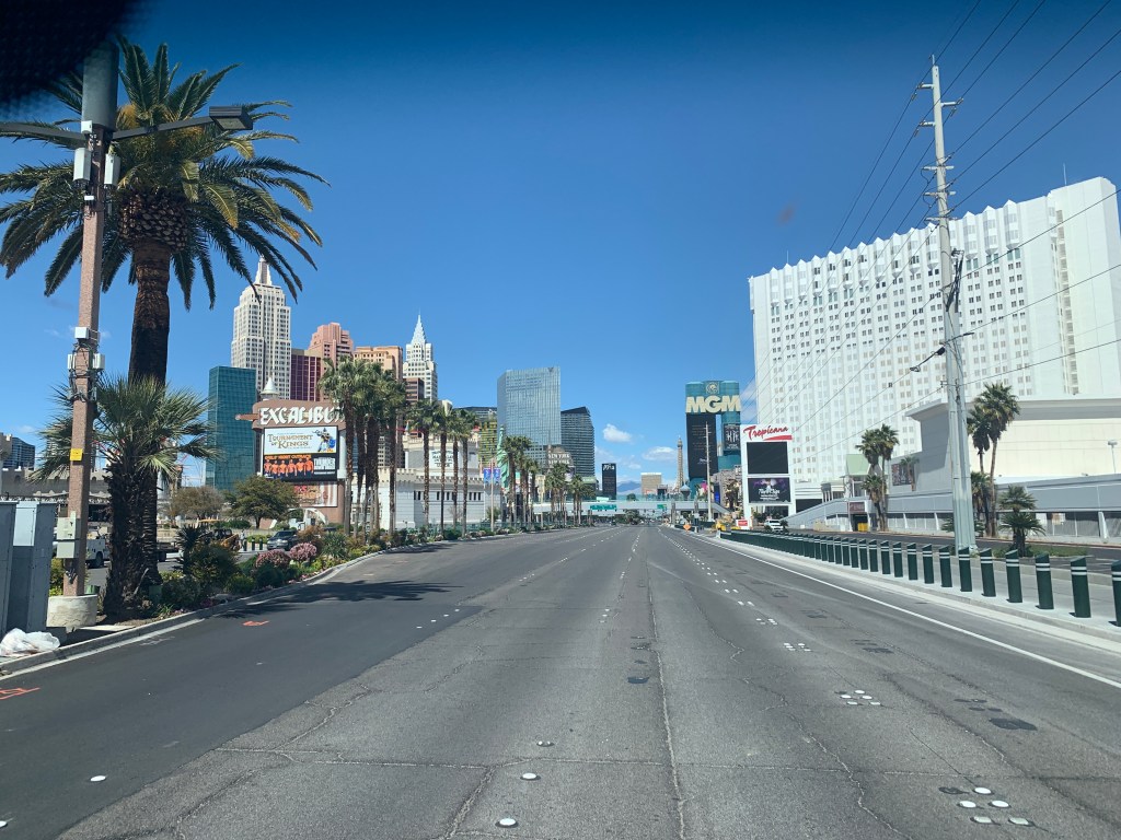
Since our options were dwindling for places to stay, we started searching for places to boondock. We did have to get ourselves to the north side of Las Vegas, but couldn’t resist driving on the Strip, just to see what it was like to 1) not stop for a little craps action, and 2) see what it was like in one of the biggest gambling cities in the world to be completely closed down. I have to say, it was weird. This whole experience is weird.
After refueling, we exited the city and headed up toward Death Valley on Hwy 160. We turned off in the town of Pahrump, and headed closer to the park. We have an app that shows us where BLM (Bureau of Land Management/Dept of Interior) land is, where we could look for places to camp for free, and found a turnoff that could accommodate us. There was another camper, a fair distance away so that we each had plenty of privacy, so we set up our camp, just a few miles away from the park boundary.

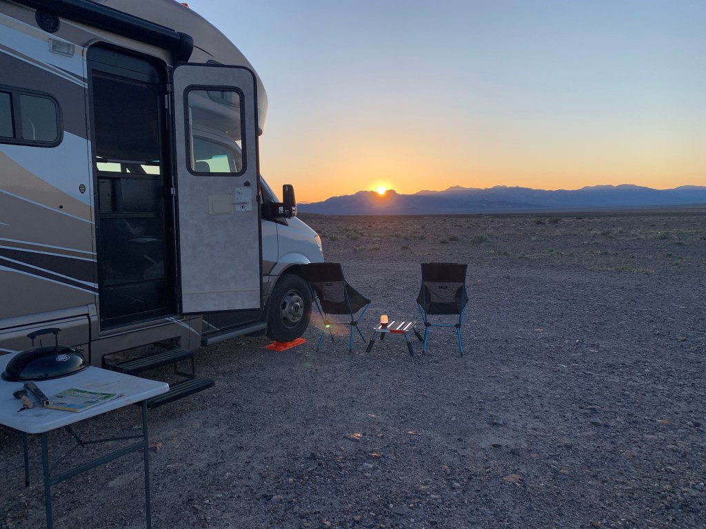
This was one of those exquisite locations, absolute serenity, no evidence of humanity in any direction (except for that one camper), and snow capped mountains and expansive desert in all directions. It was stunning and relaxing. What virus??? Just kidding, we were grateful to be spared exposure at this beautiful spot.
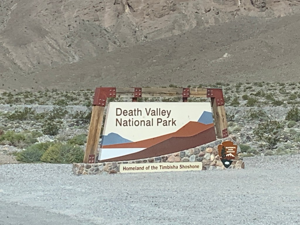
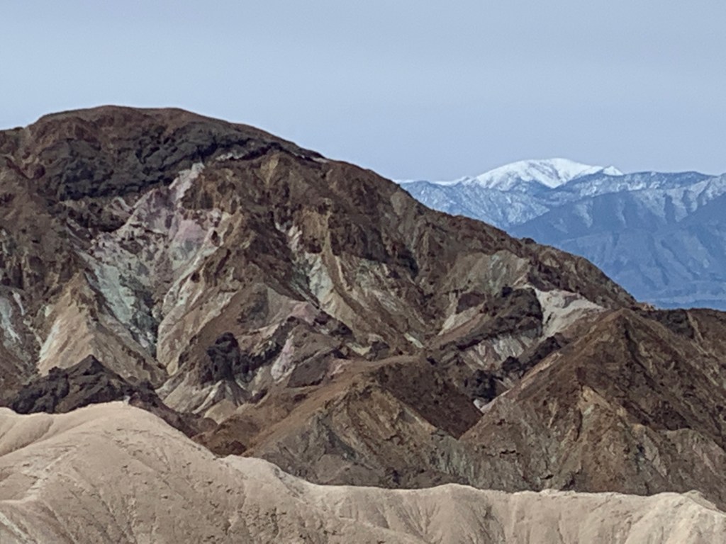
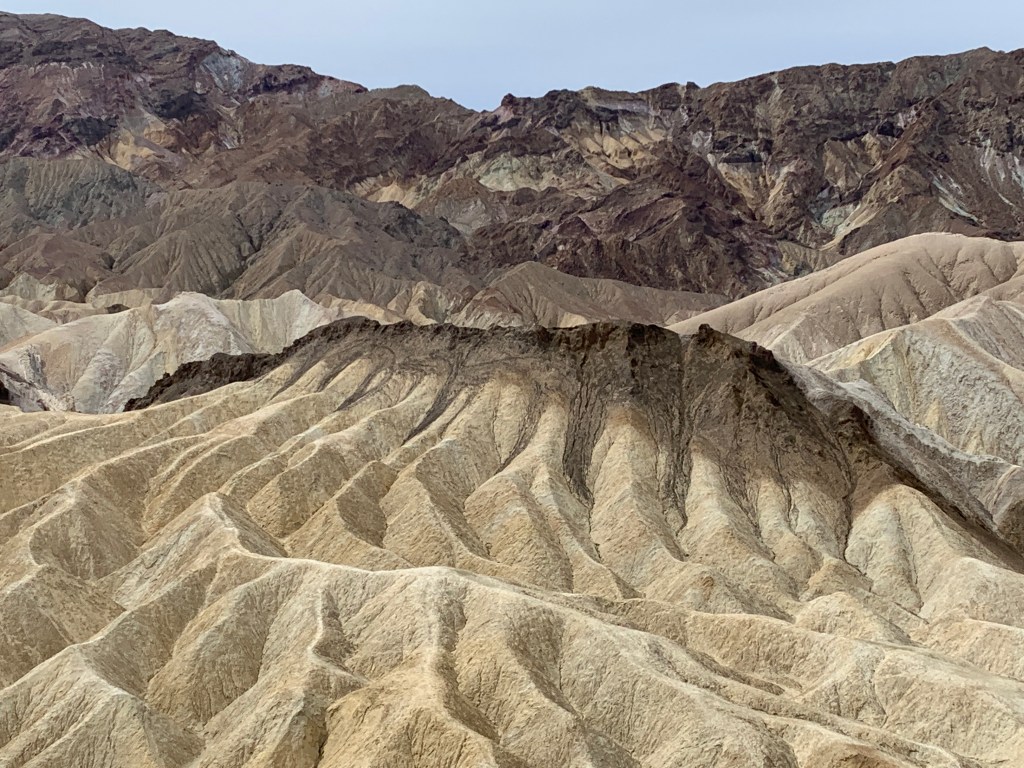
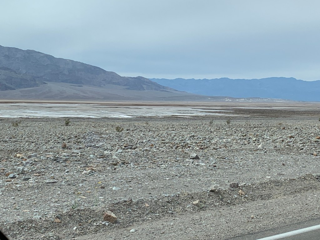
When we headed out in the morning, we were close to Death Valley National Park, and entered through the eastern boundary. As the park services were closed down, the road that traverses the park was still open. We stopped off at an area with some hiking trails. There were only a couple cars there, so we decided to take a hike and get some fresh air. I can’t imagine hiking here when the temperatures climb!
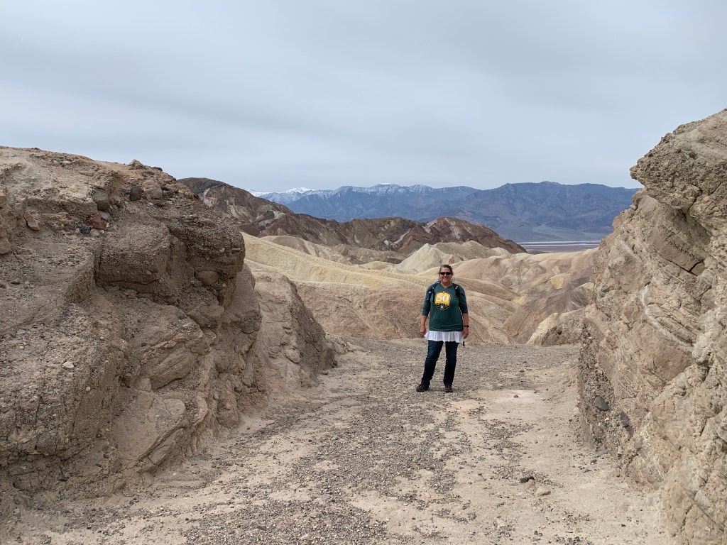
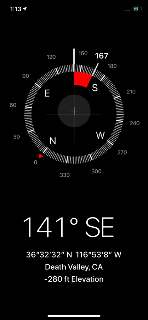
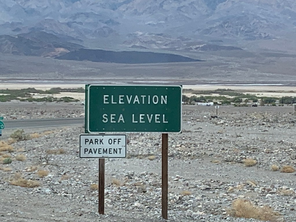
We carried on down into the lowlands, watching the altimeter sink as we dropped in elevation, eventually getting down to -280 feet below sea level!
Since everything was closed, we found a spot to park and have lunch. We observed a crow, normally scavenging after people drop food or garbage, but now with such slim pickings for this fella. The abandonment of public places have changed the environment for wildlife; some are frequenting places that they wouldn’t normally go, and some who depend on human leftovers are having to work a little harder for sustenance.
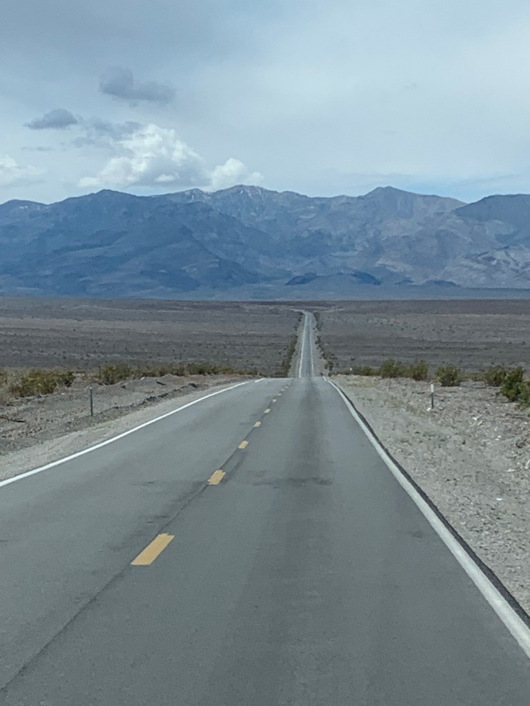
We drove through the park, back up the eastern boundary, headed toward Hwy 95, as we had intended to drive that north to Reno. We found a boondocking spot at a little pond south of Beatty, NV, and decided to camp there, although it didn’t even come close to the awesomeness of the night before. There were about 15 other rigs that had also had the same idea. It really was starting to feel like the world was changing for us RV travelers.
After some advice from a friend (thanks, Janine!), and reading stories about how Hwy 95 is a common route for truck drivers who want to avoid scrutiny (the song, Willing, keeps coming to mind “driven all the back roads so I wouldn’t get weighed….”) and getting the feeling it wasn’t the idyllic leisurely road we had hoped, we decided to head back thru Death Valley the next day toward Hwy 395 on the eastern side of the Sierras.
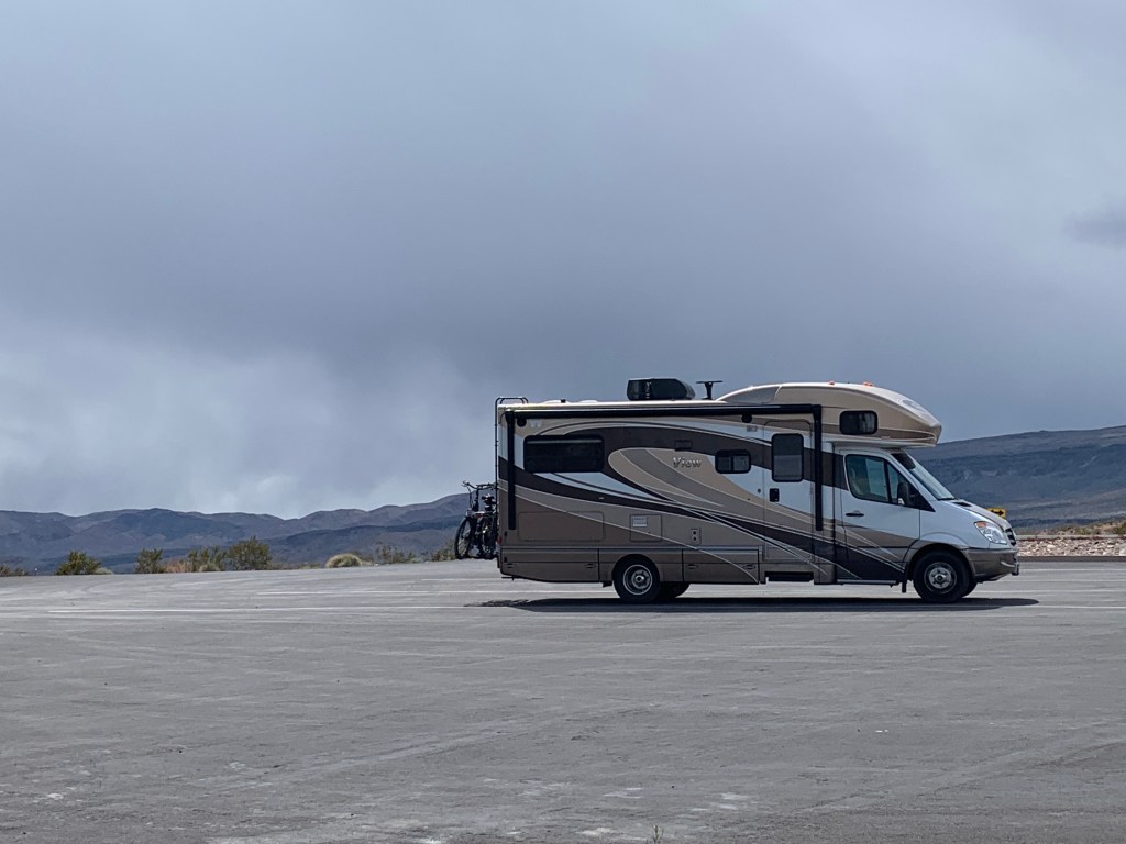
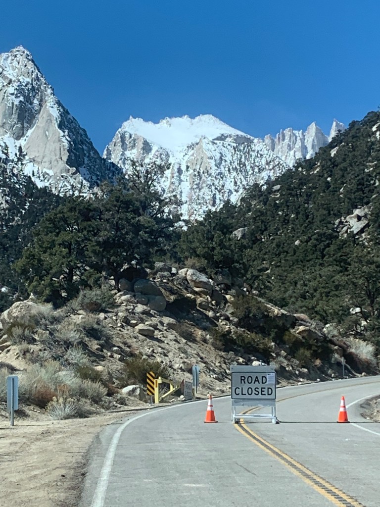
Back up we went, back down we went, and back up the other side of Death Valley, to some dark, dark clouds and another mountain pass to get over. I was a little nervous (ok, ok, freaked out completely) because it looked like we were heading right into a snow storm (which I was terrified of driving the RV in). So we stopped at a really cool vista point, calmed down a little, and John drove us down into Lone Pine, CA, without a single snowflake hitting the windshield.
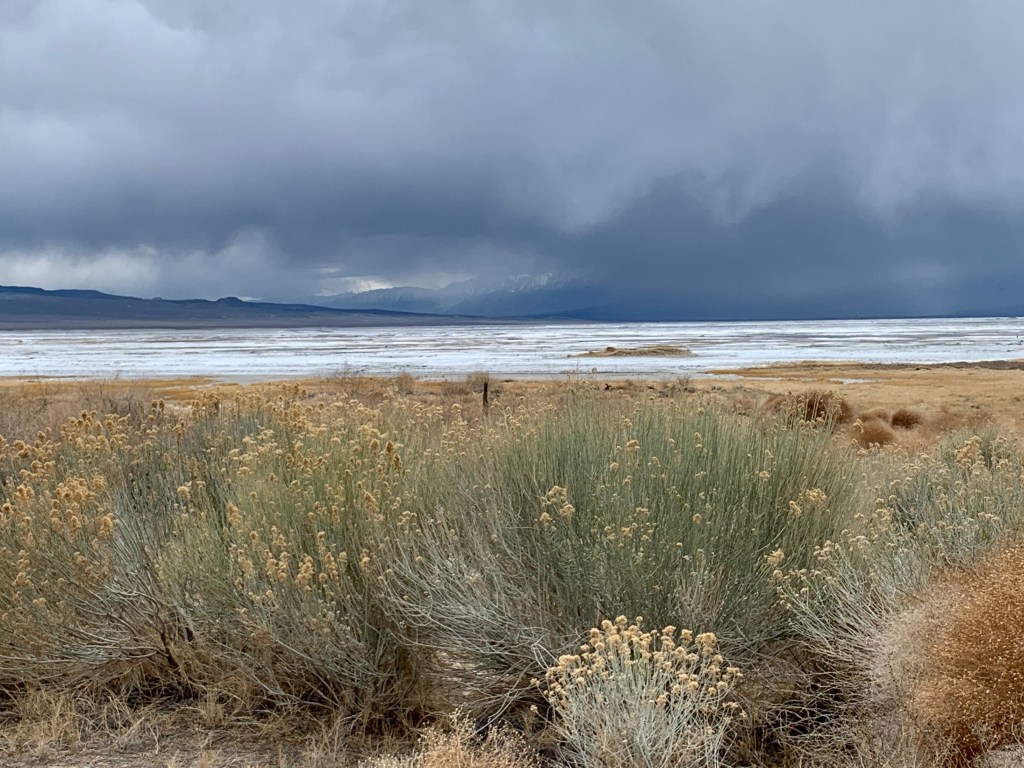
When we came down out of the mountains, we stopped at a little village on the east shore of Owens Lake, you know, the lake that Los Angeles drained back in the 20’s, when the Owens River was diverted. It’s a salty, mucky, dusty playa now, with a dust problem- it’s one of the largest single sources of dust pollution in the US, with millions of tons of dust carried away from the lakebed each year.
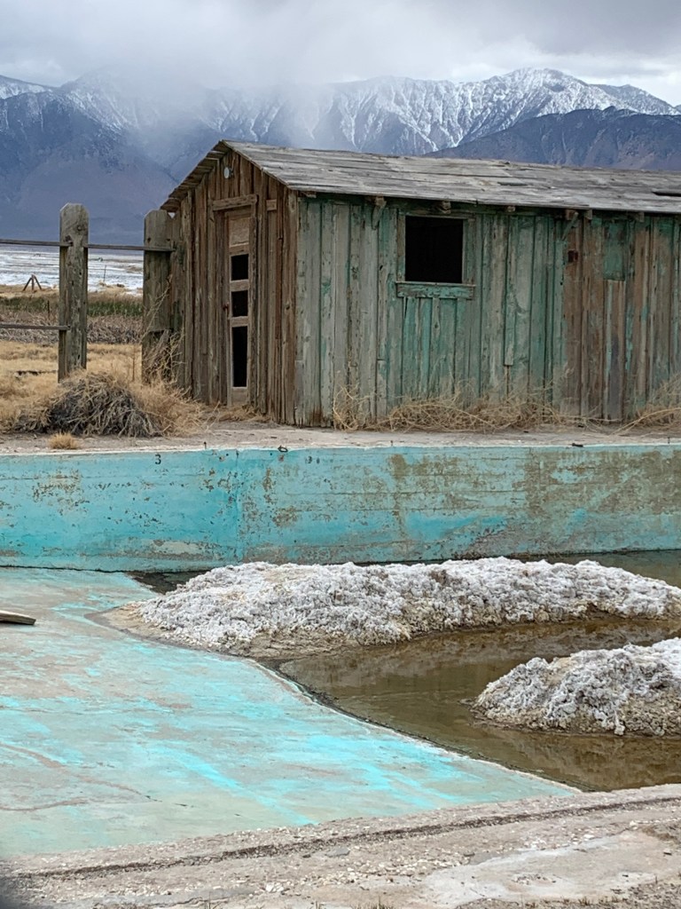
One of the mining towns left over from the good old days is Keeler, which we stopped at for lunch. It’s like an almost ghost town, much of it looks abandoned, but a few signs of life exist.
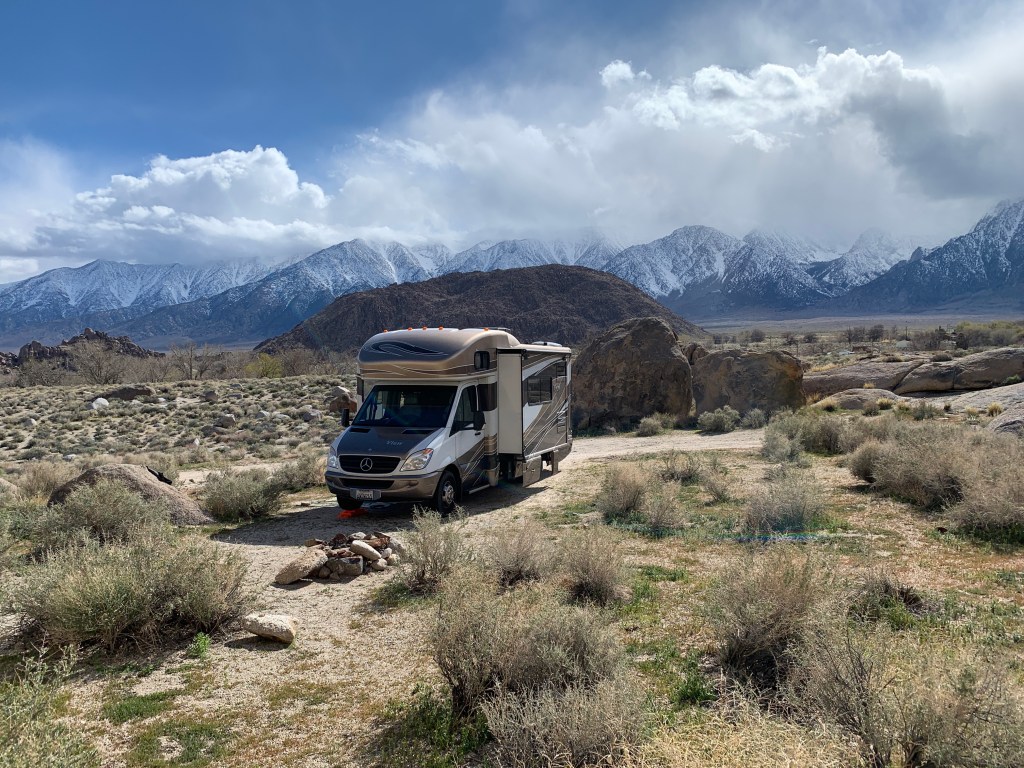
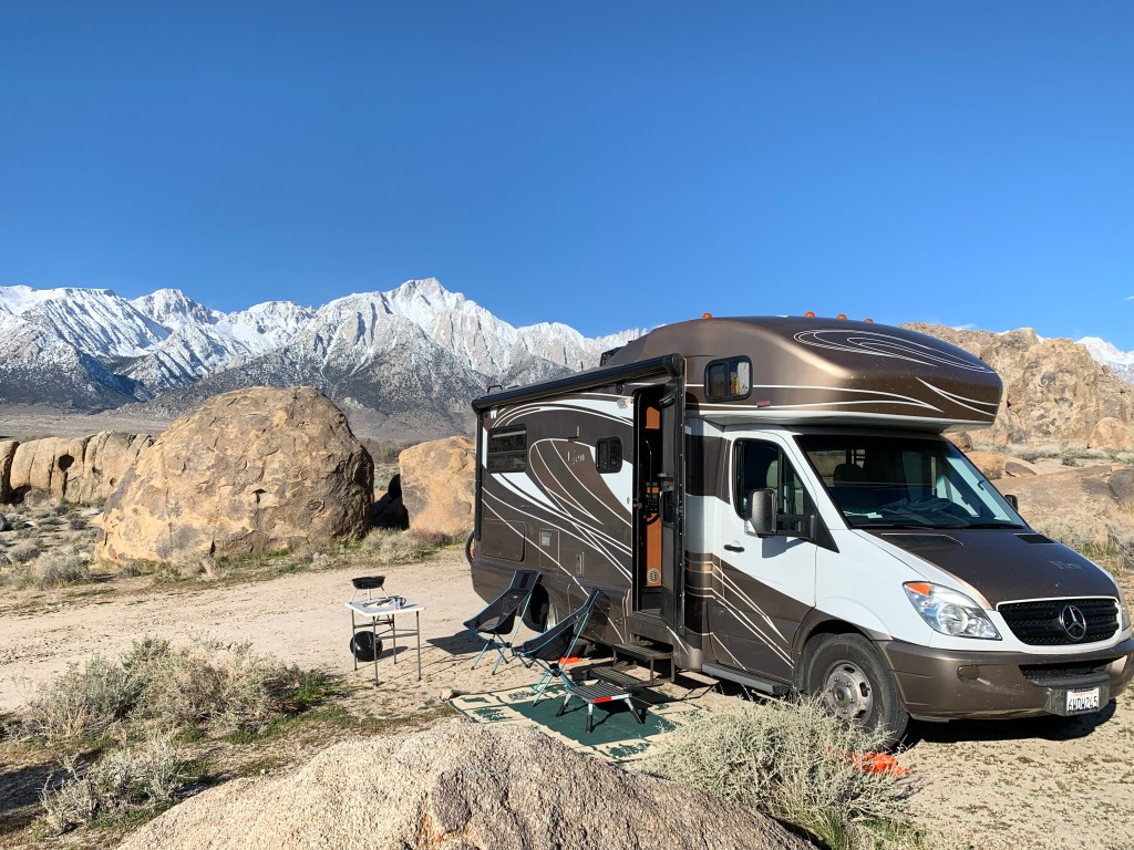
As we drifted in to Lone Pine, we decided to check out the camping options at some BLM land west of town in an area called Alabama Hills. This area was known back in the day for its film backdrops in westerns for the likes of John Wayne. I’d heard about it and seen photos, but neither of us had ever been there.
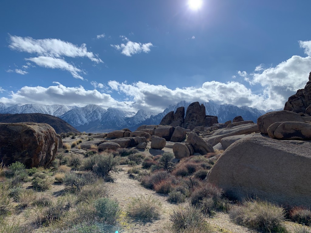
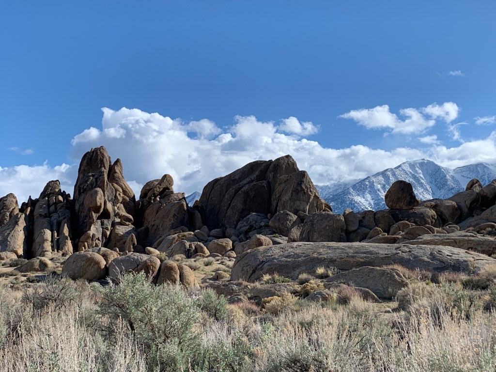
Well, Alabama Hills was the PERFECT place to land and be able to avoid people. It was the most gorgeous landscape and the views of Mt. Whitney right in our front yard were spectacular. Especially since that snow storm I was hoping to avoid the day before had dumped some fresh powder up there the afternoon before!
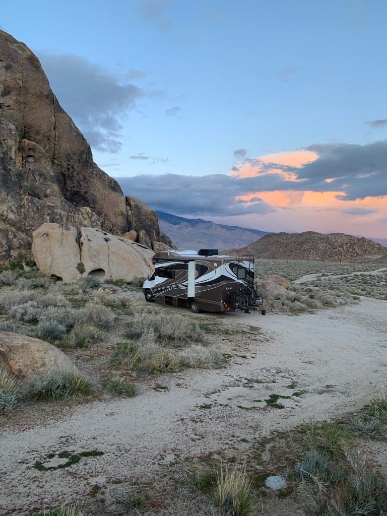
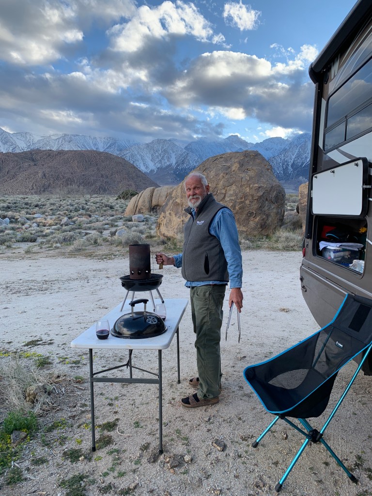
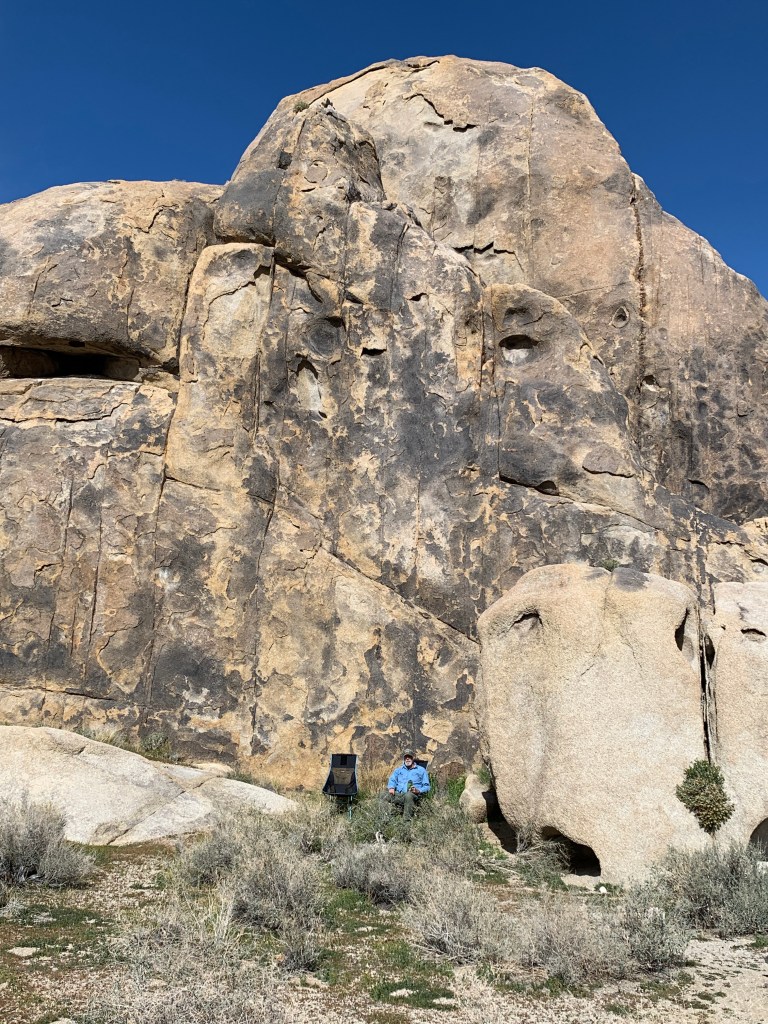
The road in was the Whitney Portal Road, where folks head up to when they want to hike the mountain. It’s closed in winter (just as well, cause John would have driven up there in the RV…). There was also a sign for Movie Road, commemorating the long forgotten filming that took place out there. We hiked around the hills and rocks, enjoyed some leisurely lounging around this peaceful place, then packed up and got a little closer to the mountain before heading back to Hwy 395.
Moving north, we managed to find a campground still open, and stayed just north of Bishop for the night. We went for a bike ride, relaxed a little, looked at the snow capped peaks of the Sierra Nevada range, and prepared for the long haul to Reno the next day. In the morning, we drove down across the highway to a campground that was on our app, but turned out to be closed, right on the Owens River. As we were driving in, some old dude, out driving around, mind you, yelled at us to “Go Home!!!”, which I thought was ironic, cause you know, he was out driving around, too!!!
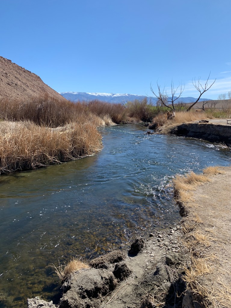
There were signs by the river indicating it was still under the jurisdiction of the City of Los Angeles, many, many miles away from here.
Not wanting to give the old dude a heart attack, we carried on our way, heading for home.

Hey, so glad you got over to 395! We have stayed in almost all the places you went to, it was so great to see all.those familiar photos, esp Alabama hills and the spot you stayed in before entering DV the first time. SO beautiful! Sad your trip is over, will so miss your entertaining posts!! But glad you are safely home in this crazy time!!! Hugs!!
LikeLiked by 1 person
Yes, we were happy with the route change. It was practically empty the whole way up to Carson City. I have one more post to wrap up this chronicle, but we are happy to be home. We haven’t left the farm in 14 days!!!
LikeLike