So as it turns out, it was a really great thing for us that Kartchner didn’t have any room for us, cause it required us to carry on into New Mexico. Since we were chasing cold temperatures, we fantasized about Hot Springs. The amazing thing about smart phones and the www is that these fantasies can be conjured at the touch of a finger.
A quick search found us some hot springs that weren’t too far out of our way. We called ahead, they had room for us and our rig with full hookups (that’s a thing by the way- it means power, water & dump). So I put it into our navigation and away we went.
If you’ve ever followed your navigation system and ended up somewhere you questioned, you’ll appreciate this. Like trying to get to our farm. We warn people not to follow it cause you’ll end up on a road that is less than pleasant or hospitable to travel.
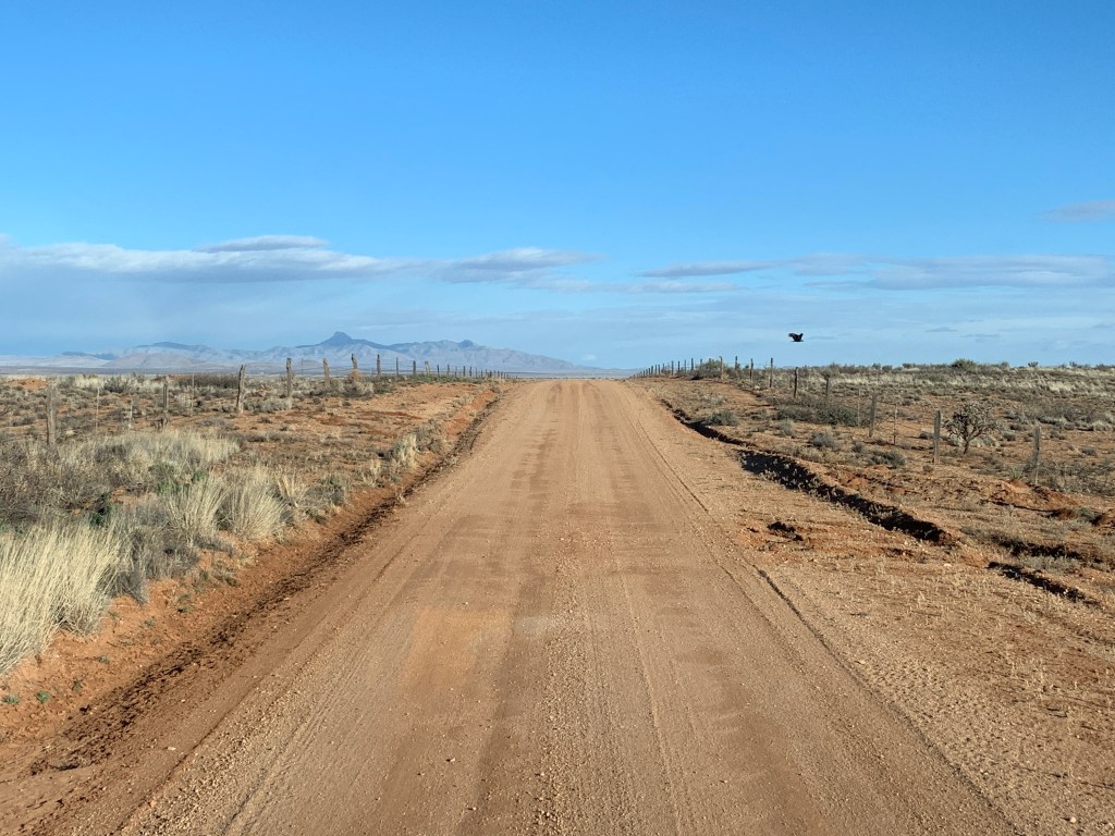
Sooooooo, when we turned off onto the indicated road, we momentarily hesitated. It was a dirt road. I was driving. It was a nice dirt road, much nicer than Doe Mill Road. But Google wanted us to go this way, and nevertheless I persisted. Even though it said 15 miles.
Such a nice dirt road.
After about 7 miles, some self doubt, and some really calm discussion (lol, just kidding about that last part), John called the hot springs place and asked about directions. Of course the guy said, “oh no, you totally went the wrong way and you should turn around and go back the way you came and go a whole other route.” Which we decided not to do, cause we could almost see the place, kinda.
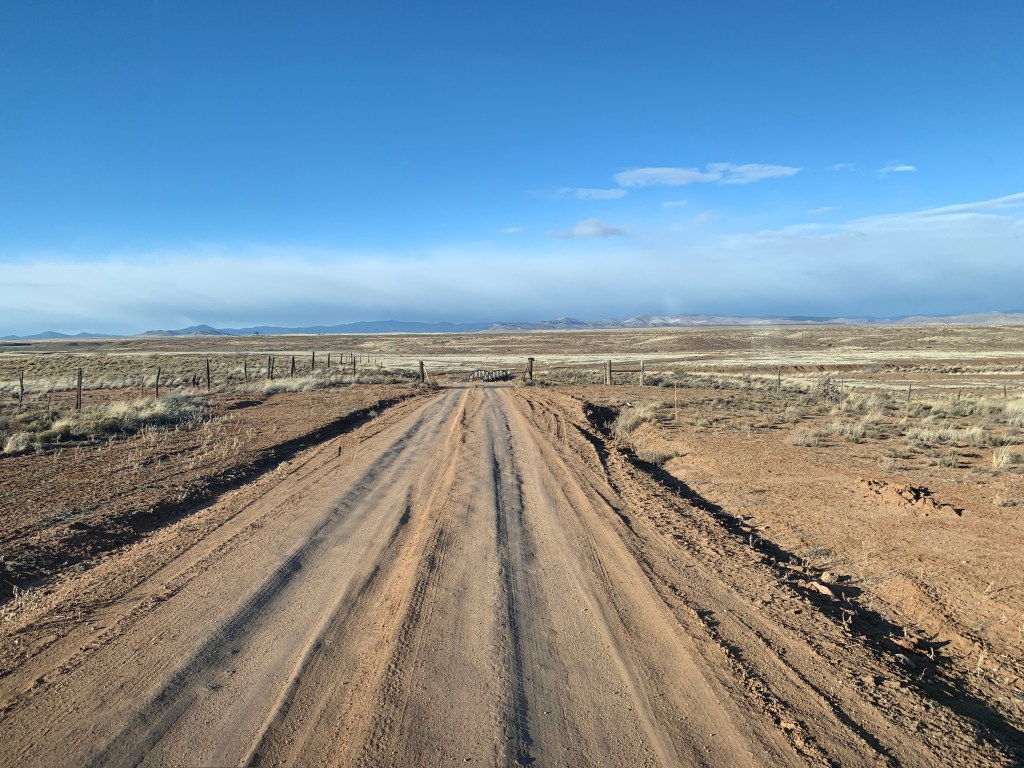
Nice dirt road getting less nice.Dirt road thru private ranch.
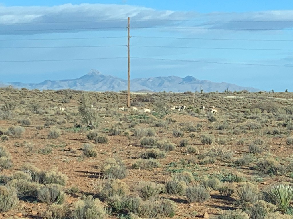
You may or may not be able to tell from the photos, but in addition to the big washouts on either side of the dirt road, up ahead in the mountains there was a storm. There were dark clouds, which could have produced either rain or snow, or both. Also, when you’re driving down a dirt road like this one, and don’t see any signs of civilization, you start wondering if 1) the previous rains washed out some or all of the road ahead, 2) the rains ahead are going to send flash floods your way before you find a paved road, 3) the ranchers ahead have a locked gate cause you’re traveling thru private property and you start getting nervous despite the fact that the scenery is gorgeous, the skies are gorgeous, the herd of antelope is gorgeous.
Antelope
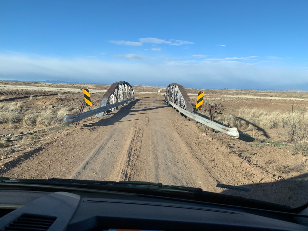
So Google was only partly accurate, cause after 15 miles, we had to go 5 more miles on the dirt road before we finally reached the pavement. Whew.
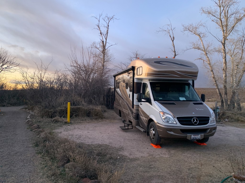
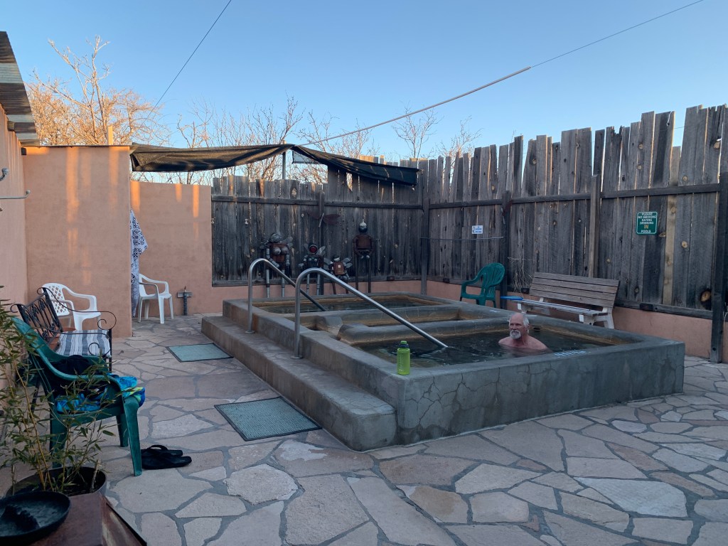
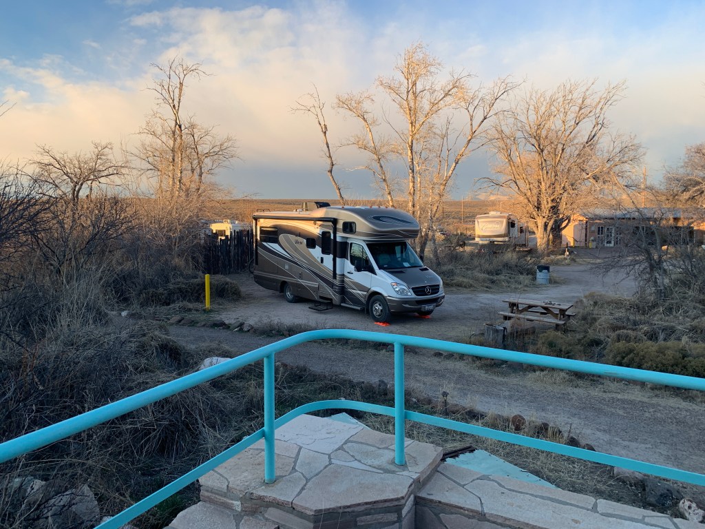
It was all worth it. We arrived at Faywood Hot Springs just before dark, set up our rig, a mere 15 steps from the (clothing optional) pools, grabbed our towels and hit the water. We had the place to ourselves, it was soooooo great! We went back after dinner, then again first thing in the morning. It was THE BEST. That old dirt road was a distant memory. We saw one other person the entire time we were there.
Faywood Hot Springs Our own little poolsSteps away to bliss!
So the moral of this story is either things happen for a reason, or if you hang out with John, you come out smelling like a rose. (Or a sulfur hot spring).
So our next stop was Tucson, which seems like a cool town, but we primarily stopped for some repairs on the RV. Our step wasn’t working and we found a repair place that could get us in for a diagnosis, and we hung out while they appraised the work. We ended up staying overnight, and had an appointment the next day for the work at 1pm.
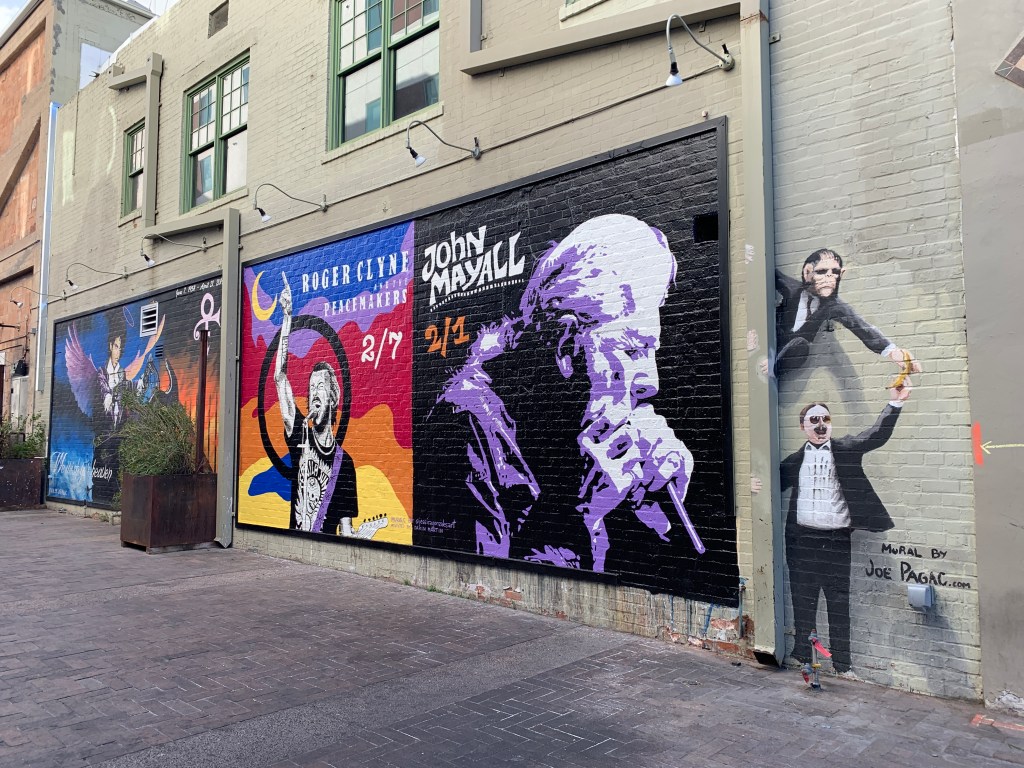
While we were waiting for an answer, we went into town and had a late lunch and walked around the downtown area. I love this theater that actually had the upcoming acts painted onto the side of the building.
I had to go check the calendar to verify these were upcoming shows!
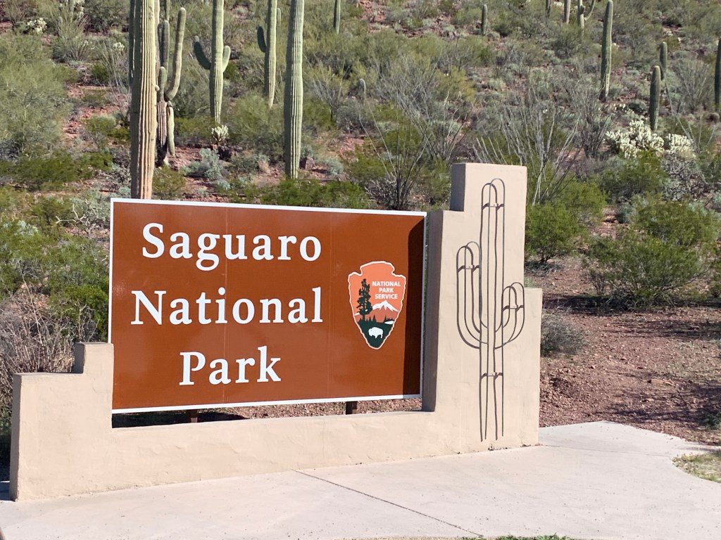
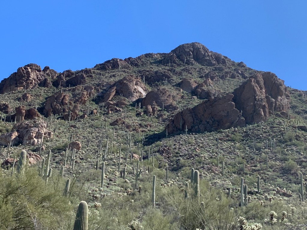
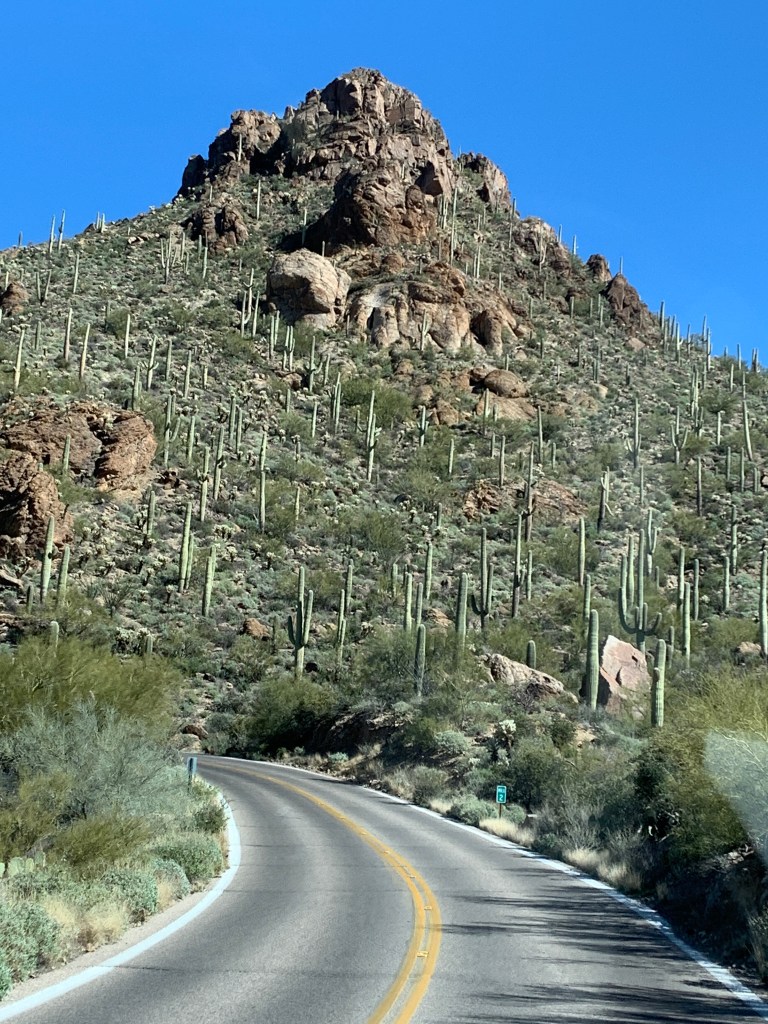
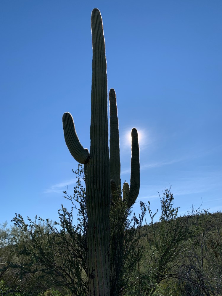
In the morning, to kill a few hours, we drove a short distance to Saguaro National Park and had a beautiful morning enjoying another national treasure.
Saguaros Saguaros
We got the repairs done and it was late in the day, and the tech advised us that that night was a hard freeze warning and temps were expected to get down to the low 20’s. Everywhere we’d been so far has been cold and windy, and we were still wearing our layers, but we really wanted to find a place not too far away with electric hookups.
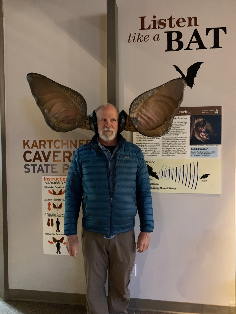
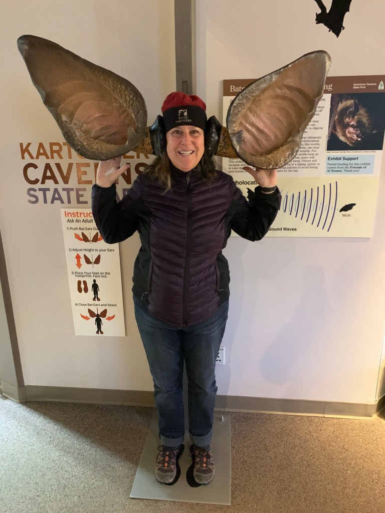
Lucky John was able to to secure the last available spot at a super cool Arizona State Park called Kartchner Caverns just east of Tucson. We asked about tours and they were all booked, but said we could show up at 8 am to see about getting a spot. We did and we got tix and went on an hour and a half tour of some of the most well preserved caves we’ve ever seen. We only saw one third of the whole system. The extent that the park goes to protect this feature is incredible. We weren’t able to photograph, but I got some shots of the area.
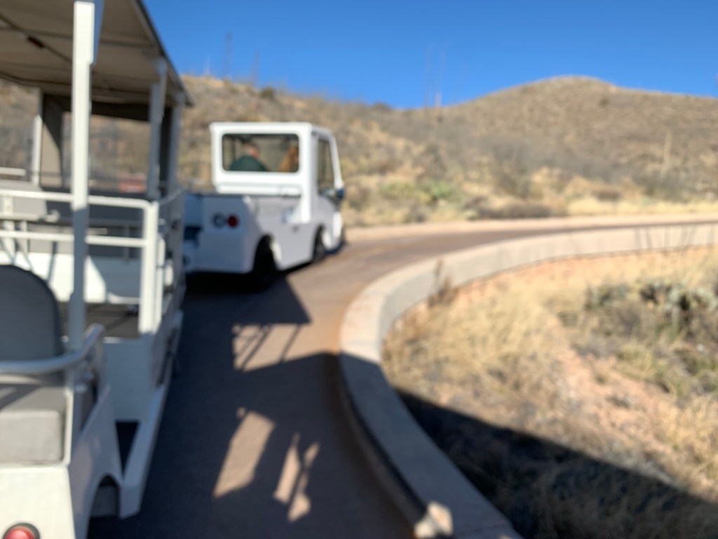
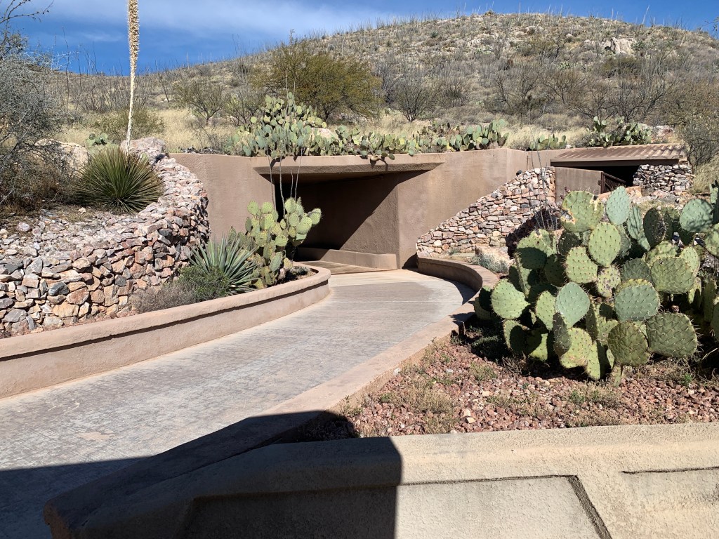
What do bats hear?They hear a lot more than we do cause their ears are SO BIG!We rode a tram to the entrance of the caverns.Cavern entrance
The caves were discovered by a couple of guys in the 60s who did crazy things like squeeze their bodies thru tiny holes underground. I personally think spelunkers are insane, but that’s my own personal (phobia) opinion. Fortunately, they took their discovery to the property owners who were educated and recognized the value of preserving this natural resource, and agreed to work with the State of Arizona to turn it into a state park and keep it protected. We were extremely impressed with the whole operation, and were grateful for the electric hookup so we could run the heater!
We asked about staying another night cause the forecast was again for a hard freeze, but alas they didn’t have any room so we set off and headed towards New Mexico.
So we had to leave Organ Pipe Cactus National Monument cause of a football game… the easiest solution was to head up the road back to Ajo, where 1) the Elks Lodge was having a SB party, and 2) the “Country Club” (in quotes, cause it wouldn’t quite fit your idea of a typical American country club) was not only having a Super Bowl Party but they were also hosting the 42nd annual Old Time Fiddlers Contest. RVs were welcome to park for $5, entrance to the fiddler contest was $5, lunch was $5, you get the idea.
We figured we’d first go check out the country club and if it wasn’t happening, we’d go to the Elks. This was the last day of the contest, so it was all the finalists, and it was great fun. From ages 5 to 85, they were inspiring and now I want to take fiddle lessons. Once it was game time, we went back to the “lounge” (in quotes cause it wasn’t quite your typical American lounge), and we staked out our seats for the game.
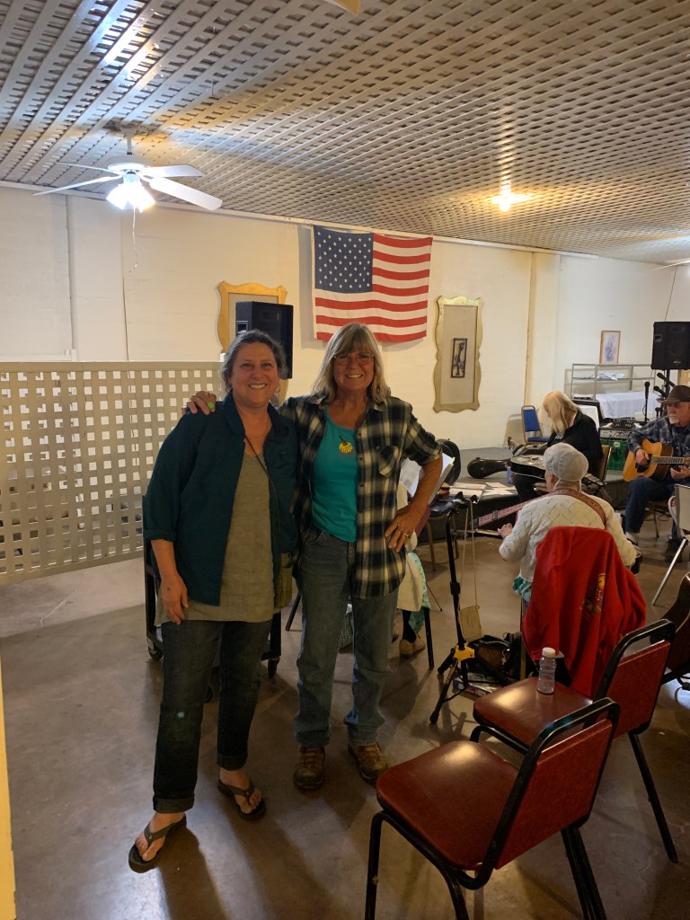
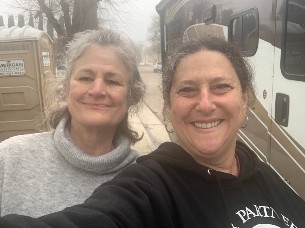
So, as you know, the game was a nail biter, and it seemed like the crowd was fairly evenly split (at least for the football game, not necessarily for the half time show). The highlight of my day tho, was when I went to the ladies room, I walked by a woman who looked familiar, and I went back to her and asked her if she was Rocki. She said yes, and we had a little reunion. For those that were at my birthday camp out at the Feather River Hot Springs, you might remember her-she is the owner! What a small world this is. She’s been coming down to Ajo in the winters and recently bought a house down here. She’s keeping the Hot Springs but will divide her year between here and there. We had a great time catching up.
Rocki from Feather River Hot Springs (California) in Ajo, AZ!
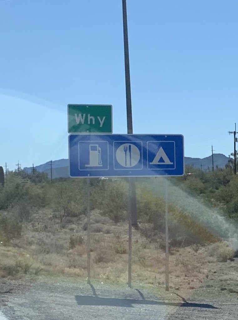
I-10 to Gila Bend and we turned right (south) toward Ajo. Getting off the interstate turned into a beautiful drive, and it was hard to believe how green the desert was. There must have been some rain recently, because the desert floor was green with grasses and other flora, and it was a lovely route. This highway (85) heads to the Mexico border, where Lukeville, AZ and Sonoyta, Mexico share a border crossing. This is also the direction of one of you-know-who’s border wall projects and there was a lot of evidence of work going on. But first, we had to pass through the hamlet of Why. There was a coyote (4 legged variety) standing in the shade of one of the signs there, but I couldn’t get a photo of it. I found this hilarious.
We pulled into the town of Ajo, about 15 miles north of the National Monument, and we needed to freshen up and re-supply, so we decided to stay overnight here. We pulled into an RV park on the highway just north of the main part of town, and Lucky John (He’d “rather be lucky than good”) got the very last space. 75% of the park is full of border wall construction workers, who have taken up residence in this town as it’s the closest services to their work site. Once we hooked up and got set up, we got our bikes down and took a ride down to the Elk’s Lodge, cause you know I’m a member now and we had to go check it out, and the bar opens at 4pm. We visited with the bartender and another local Elk member and got a little read on the town and it’s story.
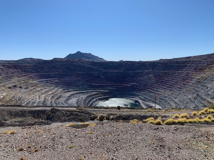
Ajo was a copper mining town, and the bartender who was our age told us about when she was a kid and everything was provided by the Big Company, and she said she didn’t even realize you had to pay for things till she was around 12 years old. She said there were movie theaters, soda fountain downtown, and lots of things for them to do. The Big Company provided everything for all the townspeople. Everyone worked at the mine. There was a population of around 10,000 at the height of the mining operation until it closed down in 1985. Now many of the residents are snowbirds or winter residents, and it’s pretty quiet except for all the construction workers there for the wall.
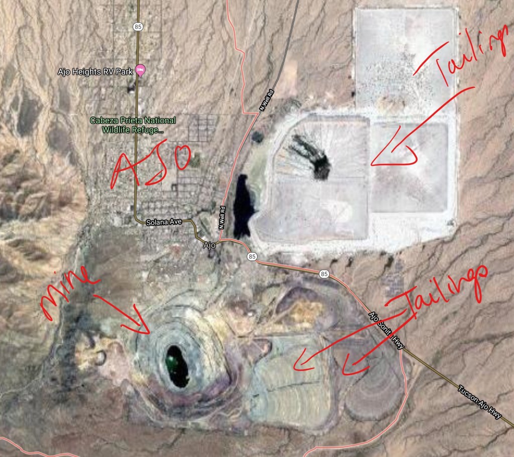
We took a look at the mine on our way out of town and it’s a pretty ragged scar on the land. You can really see it on a Google earth map, and you can see it and the tailings from every direction coming into town.
Abandoned copper mine in Ajo, ArizonaGoogle view of Ajo Copper Mine
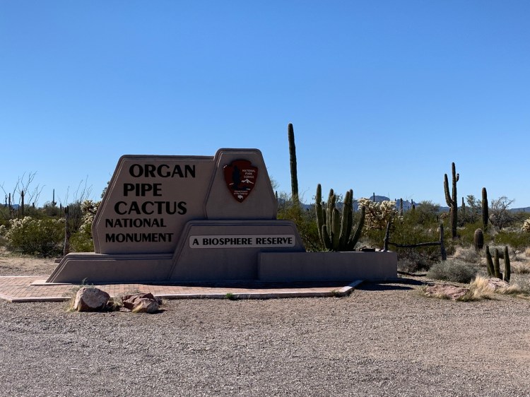
Next stop: Organ Pipe Cactus National Monument
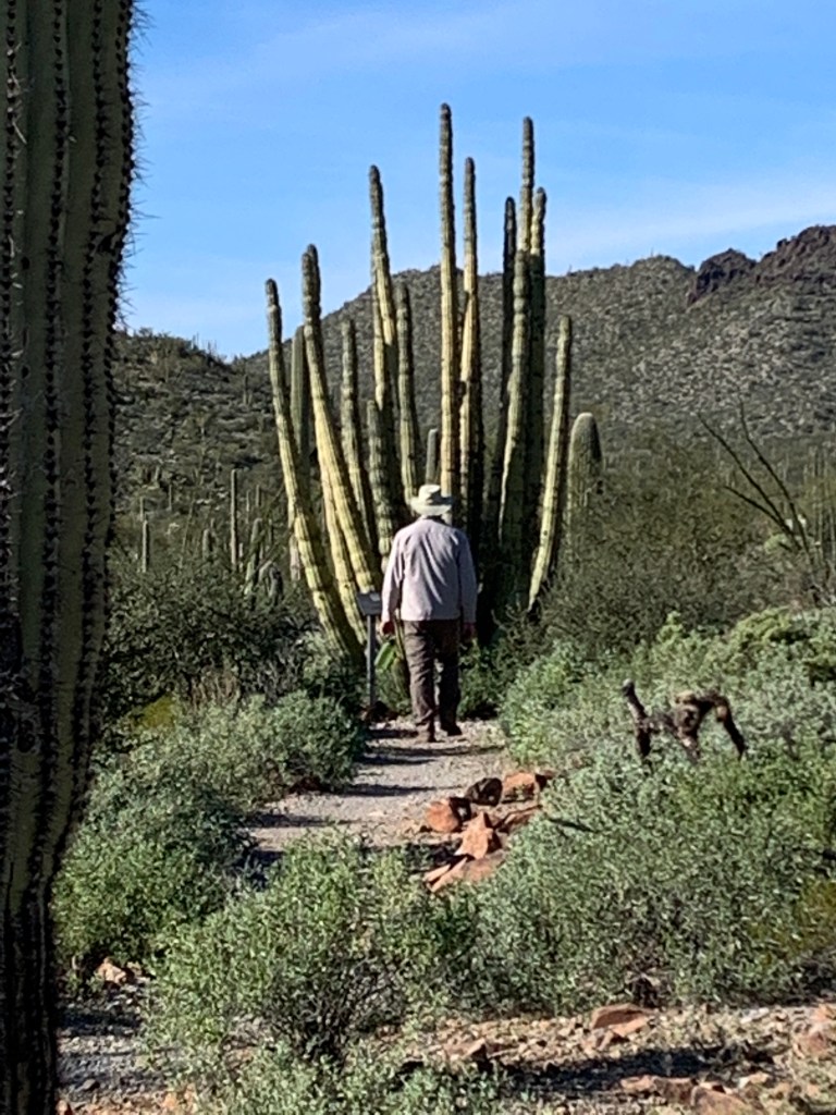
Doing what we do, we rolled into OPCNM without any reservations, and got lucky, cause that’s better than good, and got a really nice campsite for the night. In order to stay a second night, we had to go online and reserve it, and amazingly because everywhere in the world has some kind of cell coverage except Forest Ranch, I got on, secured our site for a second night, and we settled right in. This facility was in excellent condition, really well organized, and our site even had a spot of shade.
Hiking amongst organ pipe cacti
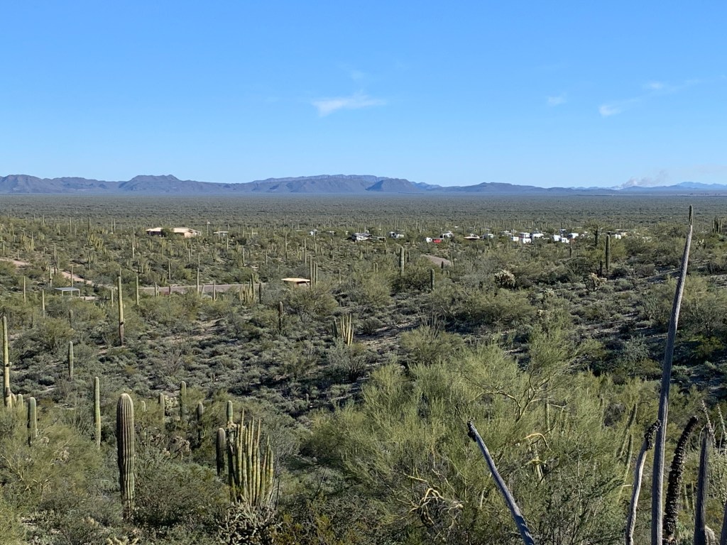
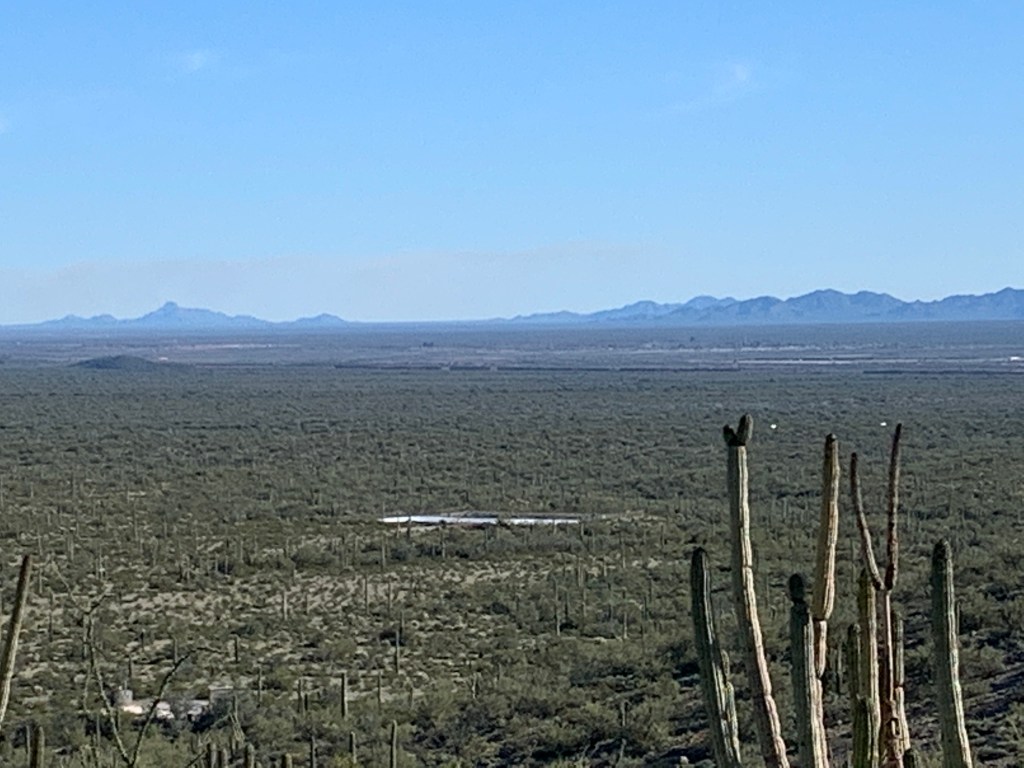
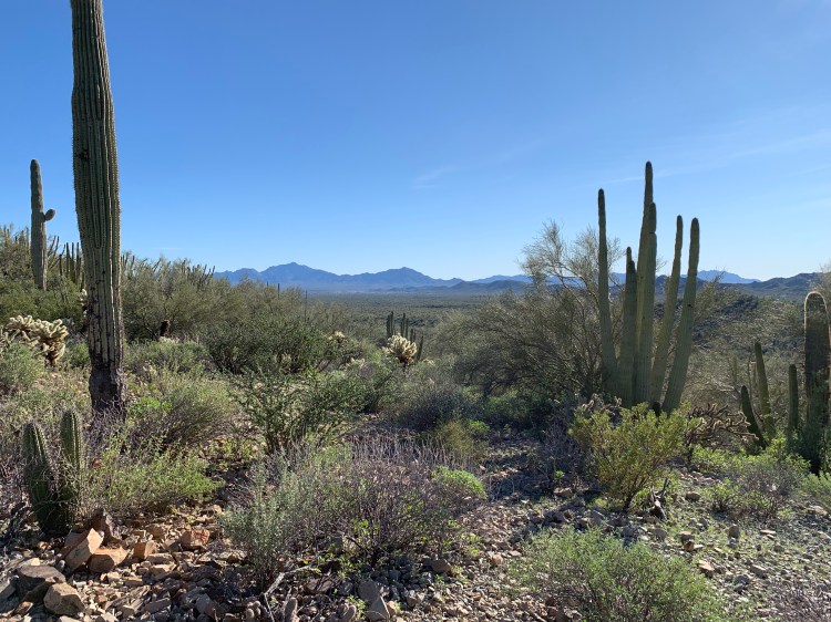
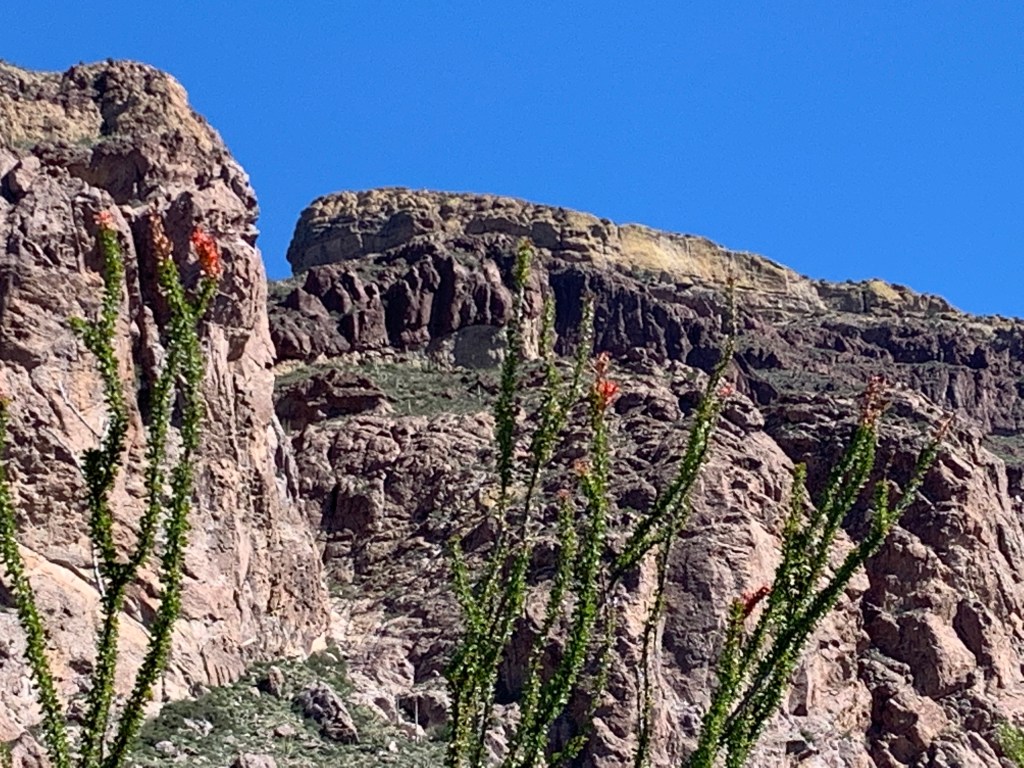
Since it was later in the day by the time we got there, we just had enough time to go for a 1.5 mile hike called Desert View, which gave us an amazing look at the valley below and we could see all the way to that wall they’re working on. Unfortunately, it’s bisecting an important biosphere of habitat and untouched desert landscape, and according to a Sierra Club biologist who had recently visited Ajo, was endangering many species of wildlife by its mere existence. So many animals cannot pass through the metal structure, whether by flight or foot. Otherwise, the desert view was breathtaking.
Twin Peaks Campground at Organ Pipe Cactus National MonumentThat dark line there is the wall.
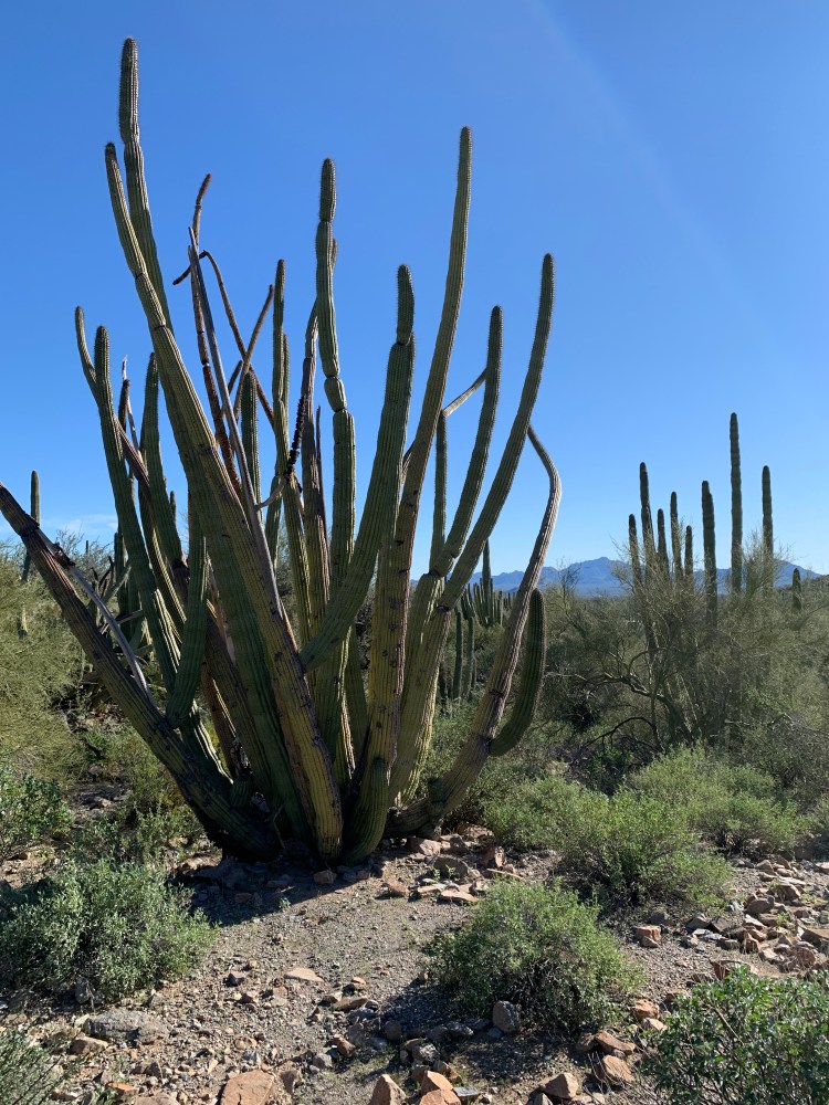
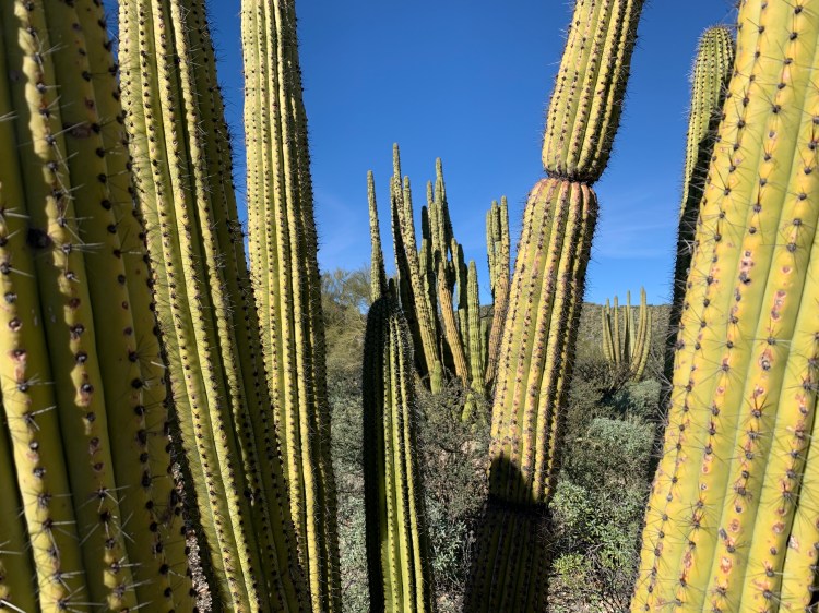
Incidentally, there were a few Organ Pipe cactus to look at as well as ocotillo, barrel, prickly pear, cholla, saguaro, and several others I can’t recall.
Organ Pipe CactusSaguaro CactusOrgan Pipe CactusDesert View looking at Mexico
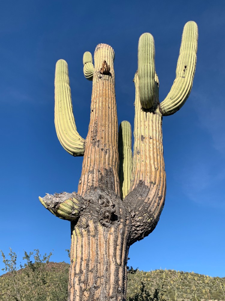
Ok, wrap your head around this one: Saguaros (photo below) don’t sprout an arm until around 90 years old. They live to be over 200 years old. Any thoughts on the age of this old dude? When they’re young, they sprout in the shade of another plant or tree in the desert to begin their growth journey. As they outgrow their shade companions, they eventually kill the competition by drawing water away, like a slow, hot, dry desert death. It’s the way of things out here.
A very, very old Saguaro
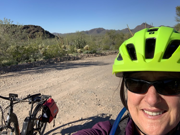
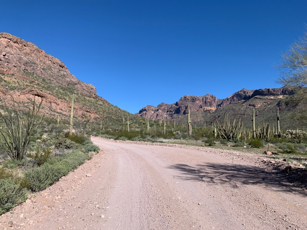
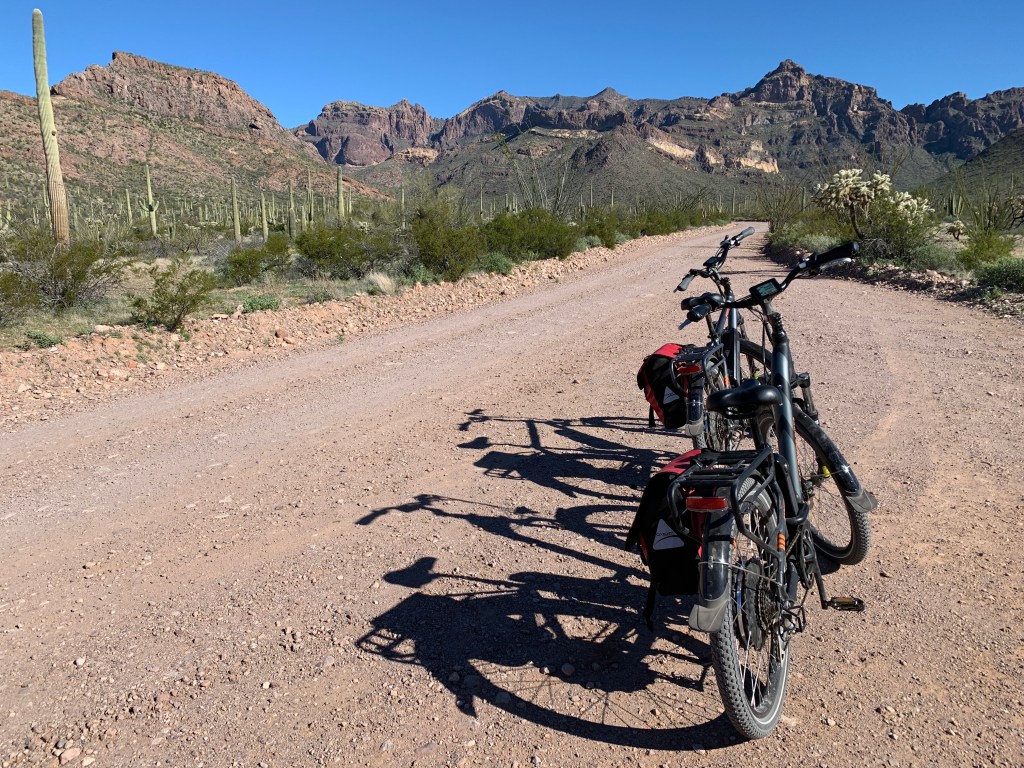
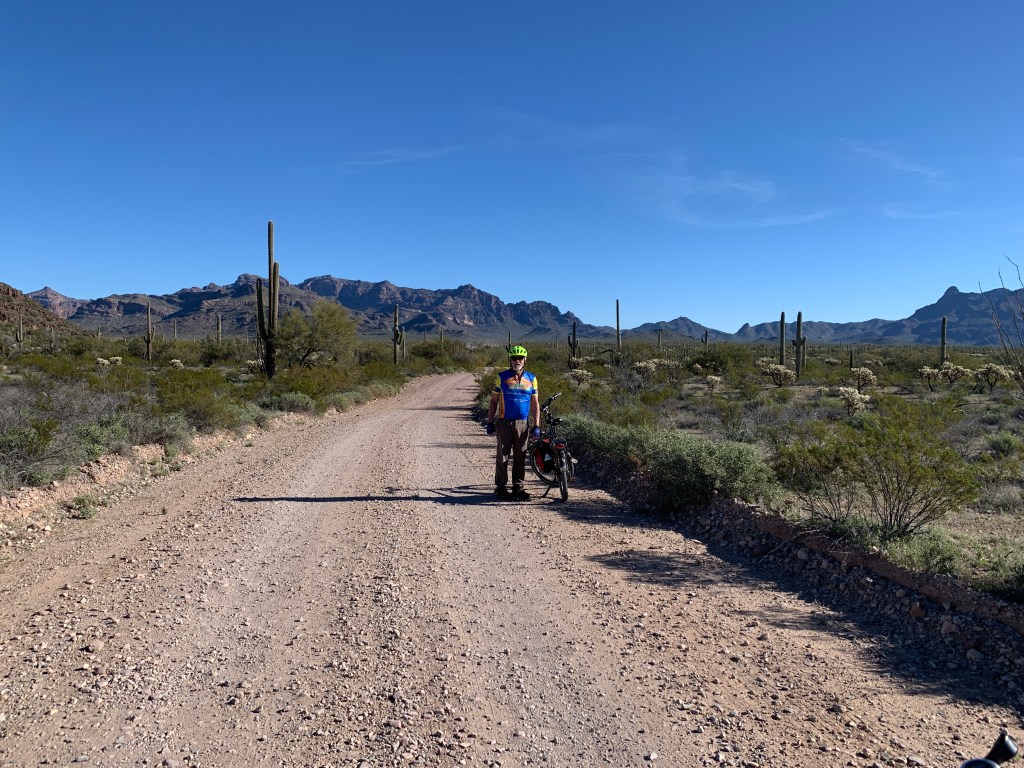
We got up early (compared to other days) and took our bikes out for a loop called Ajo Mountain Loop, a gorgeous 21 mile scenic drive around a one-way loop out in the Monument. Our bike batteries were only at 4 bars (out of 5), but we figured it’s flat desert, nice leisurely ride. Uh huh. It was about 2 miles from our campsite, so the total was 25 miles (this is important later).
Ajo Mountain Loop
It was absolute bliss riding out there, listening to birds, enjoying the solitude. Indeed it was so much fun that we really didn’t notice that we were climbing, climbing, climbing. We saw no one. We had the place to ourselves. When we got to the halfway point, which was a trailhead with a beautiful picnic area, we stopped for lunch. At this point due to the climbing, our bike batteries were losing some bars, and so were our body batteries ( I know, Janine, we’re total bike wimps! The last time I rode was at Burning Man in 2018!!!). We decided to shelve the hike for our next visit, and push on to complete the loop.
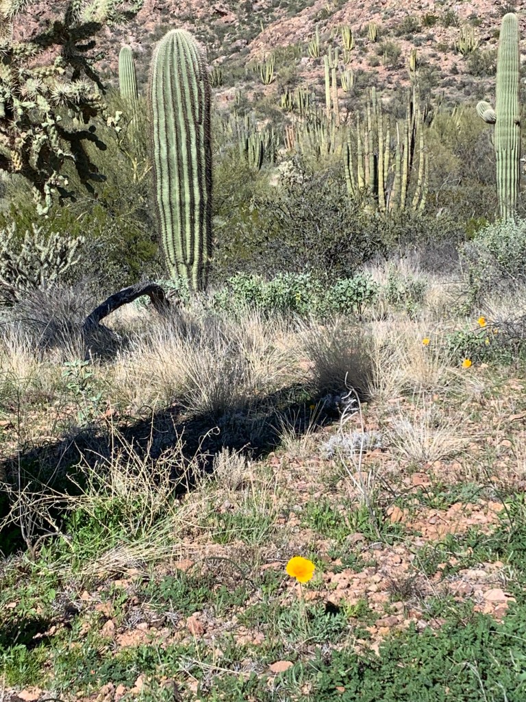
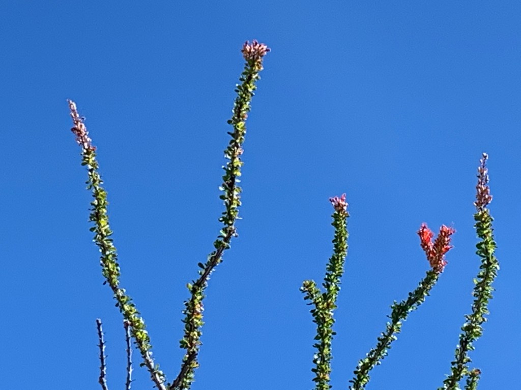
Poppy in the desert!Ocotillo bloomsOcotillo Stopping to smell the desert roses
We were thinking that since we’d been going up, up, up, that the second half of the ride we’d be going down, down, down, right? That way we’d do fine with the diminishing batteries on the bikes. We were wrong. Up, up, up we went, for a few more miles. At some point, John’s battery started flashing, causing some awareness as to the assistance aspect of the bike. We finally began a descent, white knuckled, no shoulder, and steep drop off on the side. Also at this point, since we were going against traffic, and folks had finished their leisurely mornings and decided to do a lunch drive, we started to encounter more vehicles coming at us. The bright spot is that we didn’t have to worry about traffic sneaking up behind us.
We managed to complete the trip, ending up pedaling our butts off because both batteries were dying. It was satisfying and exhausting, and deserved a beer at the end. Moral of this story, charge the batteries full before doing a ride like this again. Easy peasy.
In the evening at OPCNM, there is a beautiful amphitheater a short hike from the campground with naturalist programs, so we had an early dinner, grabbed our jackets (and a traveler cup of wine) and went down to listen to a Ranger talk about the animals in the local desert. Very interesting, and we recognized several that we’d already seen on our hikes and bikes.
We were really impressed with every single aspect of the National Monument from the services to the natural beauty of the place. This is definitely a must-return place for us.
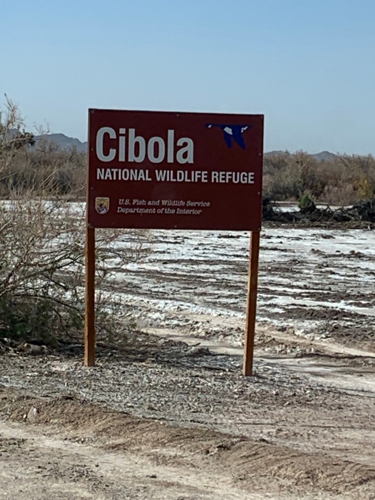
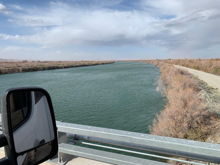
Somehow the View stayed on course, and right before the town of Blythe, California, we turned south and made our way to the Cibola National Wildlife Refuge, which is actually located in Arizona. River Partners had completed a restoration project there in 2009 on 55 acres adjacent to the Colorado River. The river is the border between California & Arizona, so we weren’t sure which clock to look at, and were either an hour early or an hour late, depending on which direction we went over the bridge.
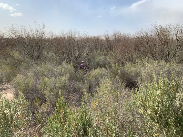
We met the Refuge Manager, visited about the project and the refuge, got directions to the location of the project site and drove along the levee next to the river until we found an access to the site. It had been 10 years, so there was a lot of growth, as well as a lot of loss, but one of the exciting things John observed were 3 nests he believed to be of the Least Bell’s Vireo – an endangered bird species that seems to be taking a liking to the native habitat that River Partners is proud of bringing back.
That is not snow on the ground, but salt. The mighty Colorado!Where the wild things are
Before we settled down for the night, we went to the Cibola “Store”, a small building in “town” which carried only essentials like beer and bait and eggs and some canned goods. When we walked in, the proprietor said he wasn’t sure he could help us cause he got completely cleaned out over the weekend. His cooler was empty, and while there were some odds and ends on the shelves, he really didn’t have much left. We did manage to find some useful items like a deck of cards, canned sauerkraut, and a BBQ fork to buy, so he was happy.
We asked him about a sign out front that said Organic Dates. He pointed further down the road and said it was someone thataway, so we drove down, saw another sign and pulled into someone’s private driveway/yard. I knocked on the door of a DIY built home, in various stages of progress. It was answered by a sweet Mexican man and he waved me inside. His wife was there, and when I asked about the dates, they went over to a large chest fridge in the living room and opened it up to display hundreds of packs of fresh dates. There were several trees in their yard, so I imagine that’s where the harvest came from. I bought a pack for $4, 2019 Medjools, super creamy and delicious, and after a short conversation all in Spanish, we went on our way.
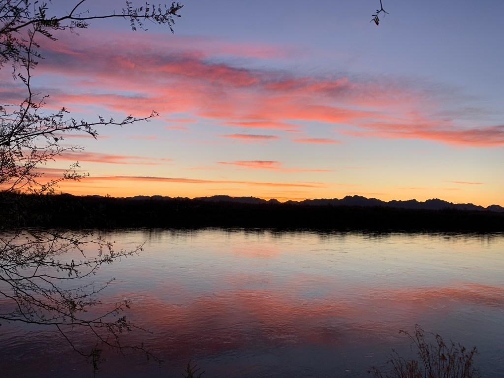
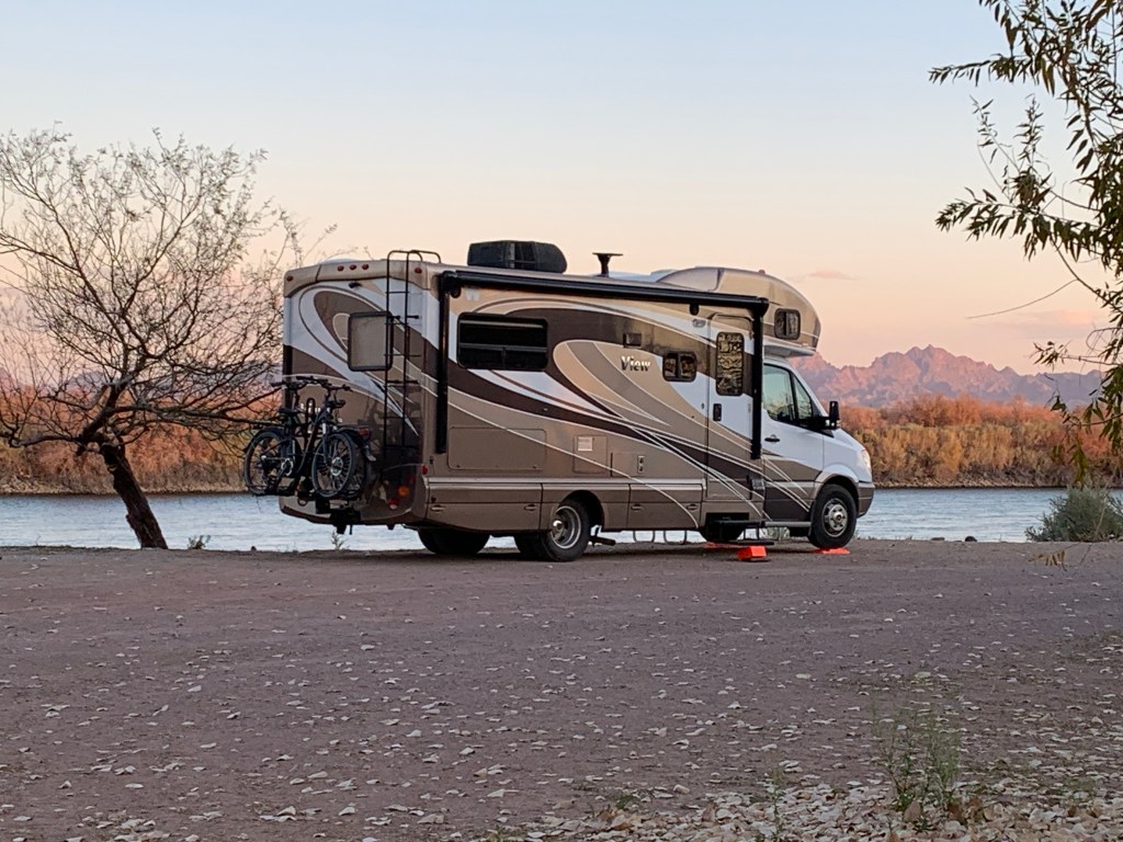
Peaceful campsite on the banks of the Colorado – somewhat different from camping hundreds of miles upstream on the same river.
We spent the night camped in a BLM campground on the west bank of the Colorado River, just north of the Refuge. Our next door camper neighbor was a Canadian guy on a bike, who had flown his bike and gear to San Diego and set out to ride to Phoenix. He was riding all day in that blustery wind, poor guy, but it did not blow him over either. He was nice and we had a great chat before we hunkered down for the night. When we took off in the morning, another cyclist doing a x-country trip had shown up and was camping there, too.
Sunrise from bed at Oxbow BLM Campground near Cibola NWR
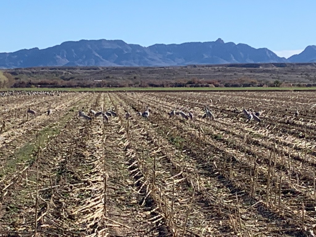
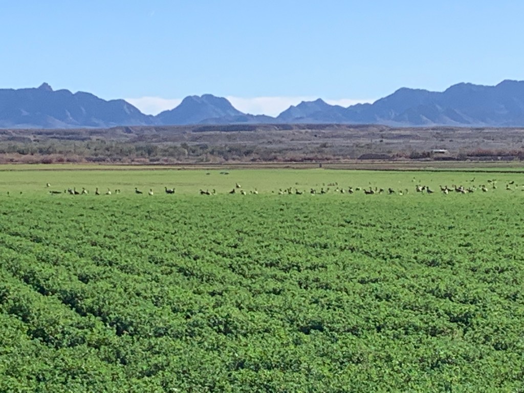
Since we had arrived in the afternoon the day before at the Wildlife Refuge, John made arrangements with the refuge manager to meet first thing in the morning so they could go have a look at the restoration site. She had only been at this post for about 7 months and hadn’t seen it. While they went off, I drove the RV on a viewing loop to see wildlife, similar to the viewing loops at the refuges up in the Sacramento Valley. Since this is prime migratory season, there were a TON of waterfowl and other birds out there. My iPhone photos just can’t do it justice, despite what the billboard ads in SF say.
There were HUNDREDS of Sandhill Cranes in several fields at Cibola. So elegant, so ancient.Sandhill Cranes and honkers (geese)A thousand mallards and other waterfowl I can’t identify because I’m not a hunter or birder
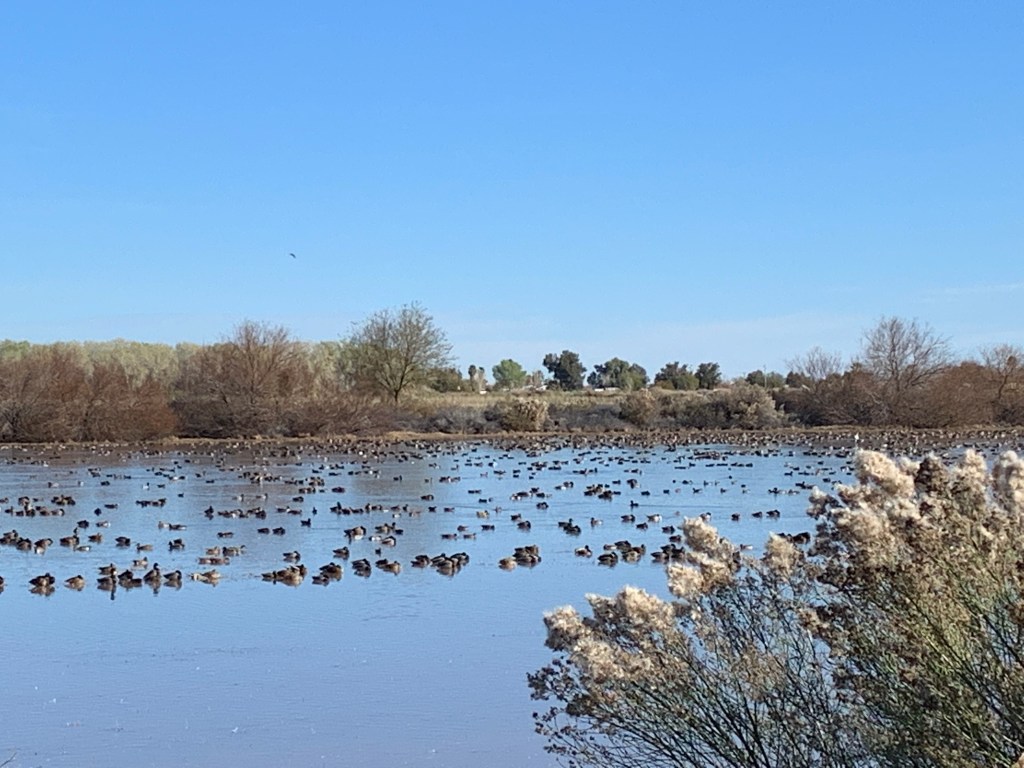
There was a 1.5 mile walk that I took and was able to view a pond with 100s of ducks and other waterfowl. The cacophony was pretty amazing, and for some reason it made me laugh out loud. Probably because it sounded like the ducks were all out there laughing, too.
As I got back on the driving loop, I stopped to watch more Sandhill Cranes than I’ve ever seen in one place before, and while I was watching them, a very healthy and relaxed coyote appeared, right in the middle of them. He/She was just casually walking through them, and they were walking away from it, while the honkers all flew up and away. It was very cool to watch, and would have been great to record, but alas, it’s recorded in my brain instead of video.
When John returned, he and the manager parted ways, and she sent him along with the recommendation to visit Organ Pipe Cactus National Monument, south of the town of Ajo, Arizona. So off we headed, back to Blythe, and on I-10 East toward Gila Bend.
Boy was that a project! We wrapped up, tried to clean up, prepared for the future (taxes, bills, etc.), and happily introduced our caretakers, Megan & Neil, to our home, farm, dogs, neighbors, etc. We feel really good about leaving everything in their hands, especially since Verizon came through and they can successfully do their jobs remotely from the ridge.
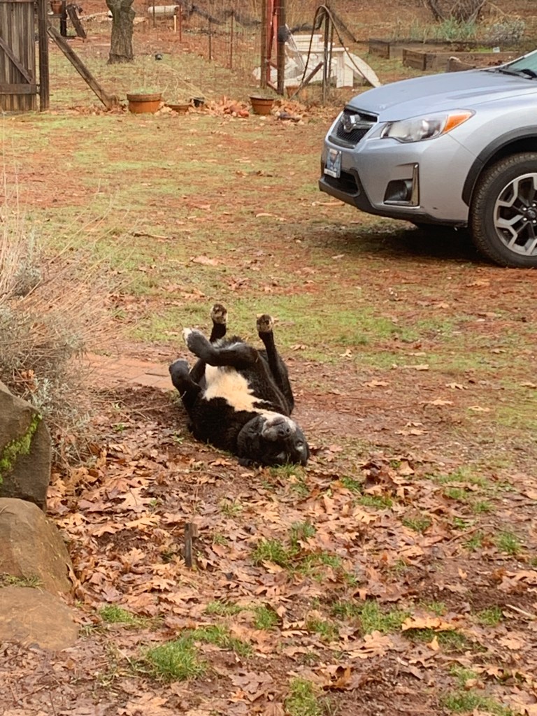
Big Al didn’t notice we were leaving. JK, but he’s super happy to have Megan & Neil to keep him and Millie company.
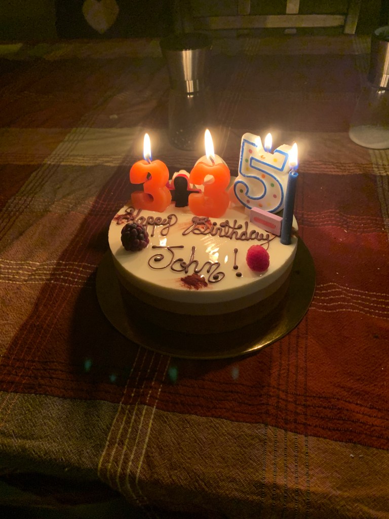
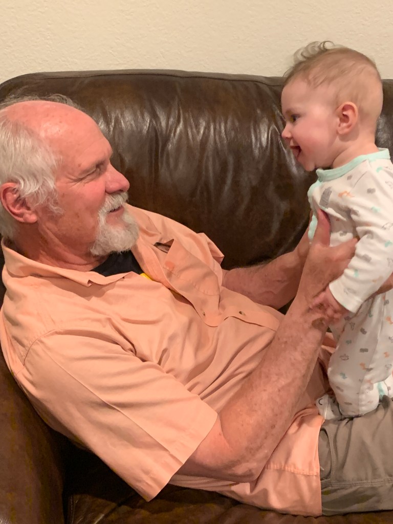
Our first stop was Casa Lafa to visit Janet, my mom, on Friday night. We had a quiet belated birthday dinner, with Dana joining us. The next morning, we secured the new ebikes on the rack, filled the View up with fresh water, hugged & kissed mama bye bye, and made it down to Redwood City in time to go help at Lucy’s school’s Saturday work day. It was also John’s birthday, so to celebrate that, Will & Amanda came down and we all celebrated at Ryan & Christelle’s with champers, Alaskan King Crab, Big Green Egg smoked steaks, and lots of laughs. It was our first night on this trip in the View, parked right off the driveway, and very luxurious.
Because 3+3=6 and 5-1 = 4 and 6 together with 4 = 64!
Andy was happy for Grandpa John’s birthday, too!
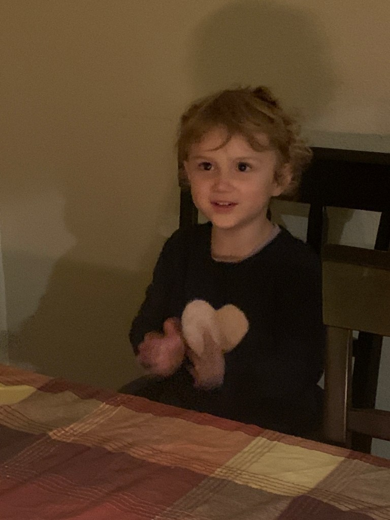
Lucy enjoyed watching Gramps blow out his birthday candles!
Sunday got us up and out, and on our way down to Paso Robles, where our dear friend, Jeni, lives. We haven’t seen her for years, but were so happy to pick right up where we left off from the last visit. We went to school with Jen back in our Chico State days, and when we moved down to SLO for John’s grad school, she came down and got her MS as well, and ended up settling in the area for life and career. It was so great to see her. She even surprised us by inviting Jim Mena, another long time friend that we originally knew in Chico, over to see us! We met his girlfriend who was lovely, and just like old times, we picked up right where we left off so long ago. There really is nothing better than old friends.
Lonnnnnngtime friends!
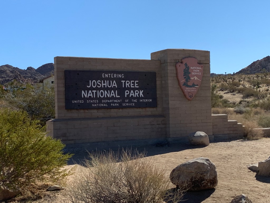
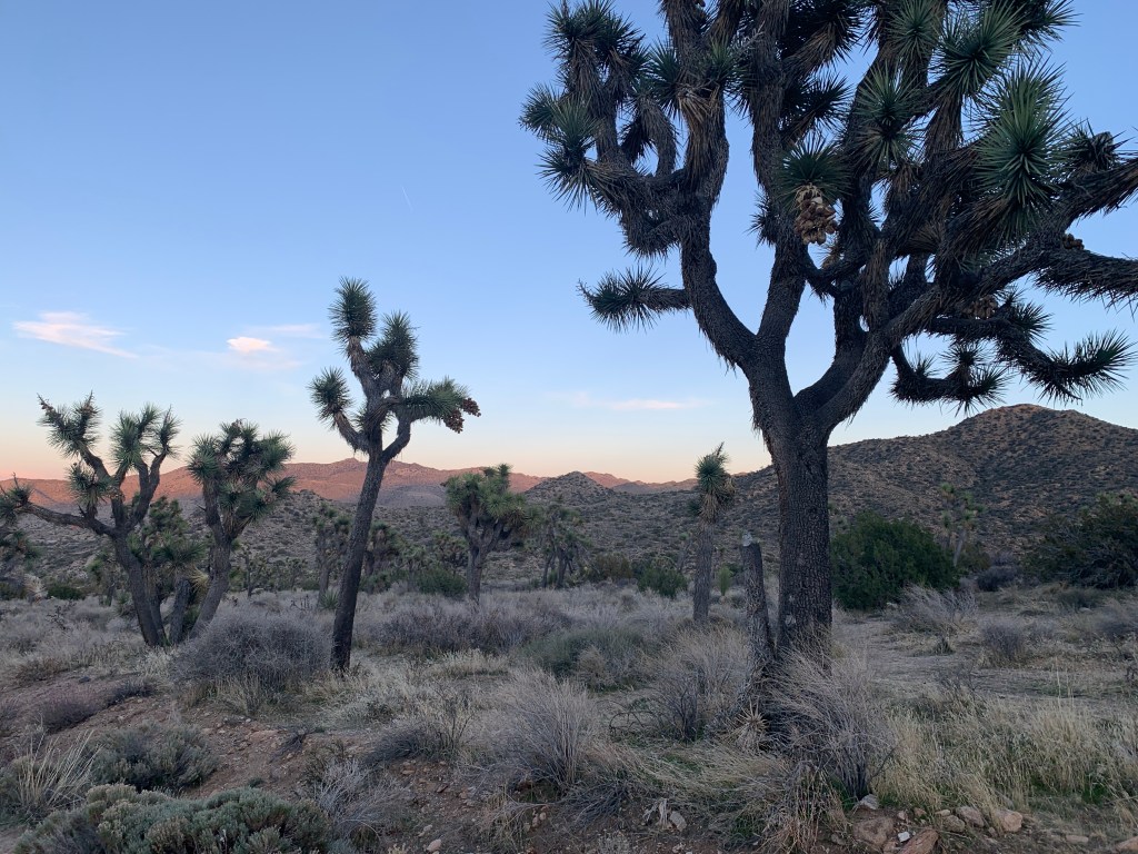
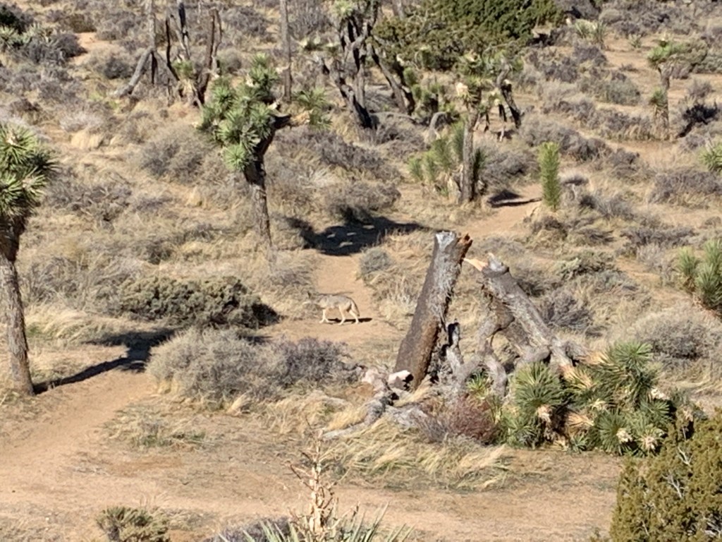
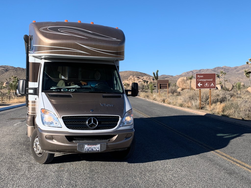
Monday morning: destination Joshua Tree National Park! This was really exciting, as neither of us had been there. It was early afternoon when we arrived, and we found a nice site at the Black Rock (of course we had to go to a camp called that) Campground, which is actually not really inside the NP. We didn’t know that when we reserved it, but no matter, it was gorgeous, and we did a nice 5 mile hike the next morning, saw a chill coyote (4-legged kind), packed up and moved on over to the main part of the park. We were waved right through with John’s Senior Lifetime National Parks Pass – free admission to all National Parks for life! Also, half off all camping within the NPs!
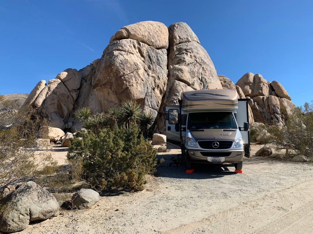
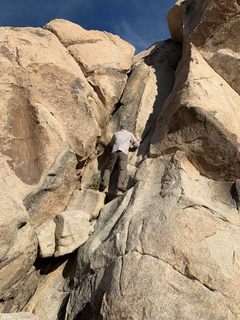
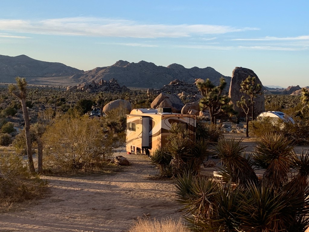
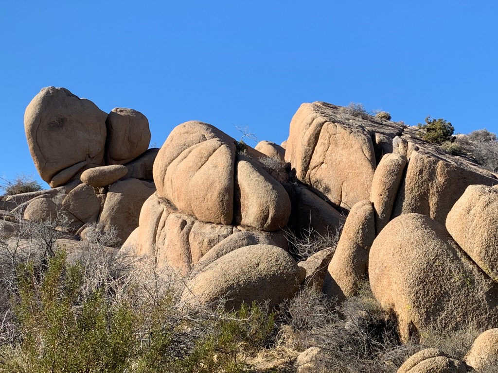
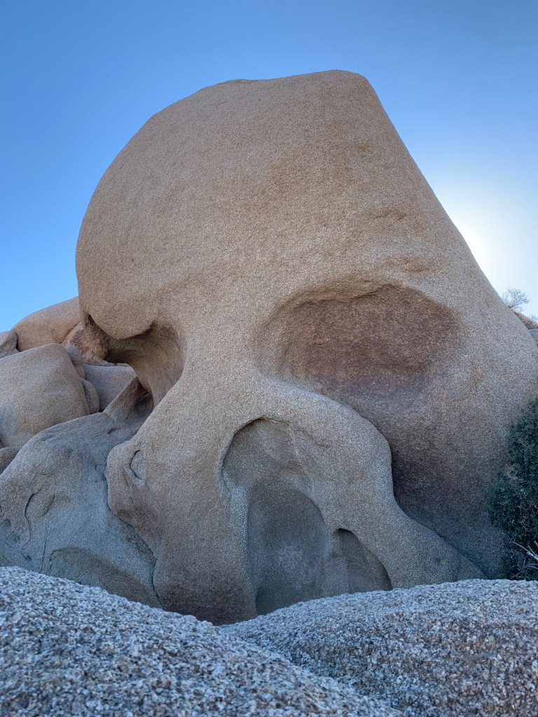
We decided to move on over into the main part of the park and were able to slip into a sweet campsite at Ryan Campground (of course we had to stay at a camp called that). Our site was nestled up into the giant rocks that Joshua Tree is well known for, and we had a gorgeous view across the valley to watch the sun set. JTNP is famously known to attract rock climbers of all caliber. The formations are huge and many, and some even have names, like Skull Rock. This area really reminded us of the Catavina area in central Baja California. Arid desert with unique geological features, and of course the Joshua Tree, so many Joshua Trees!
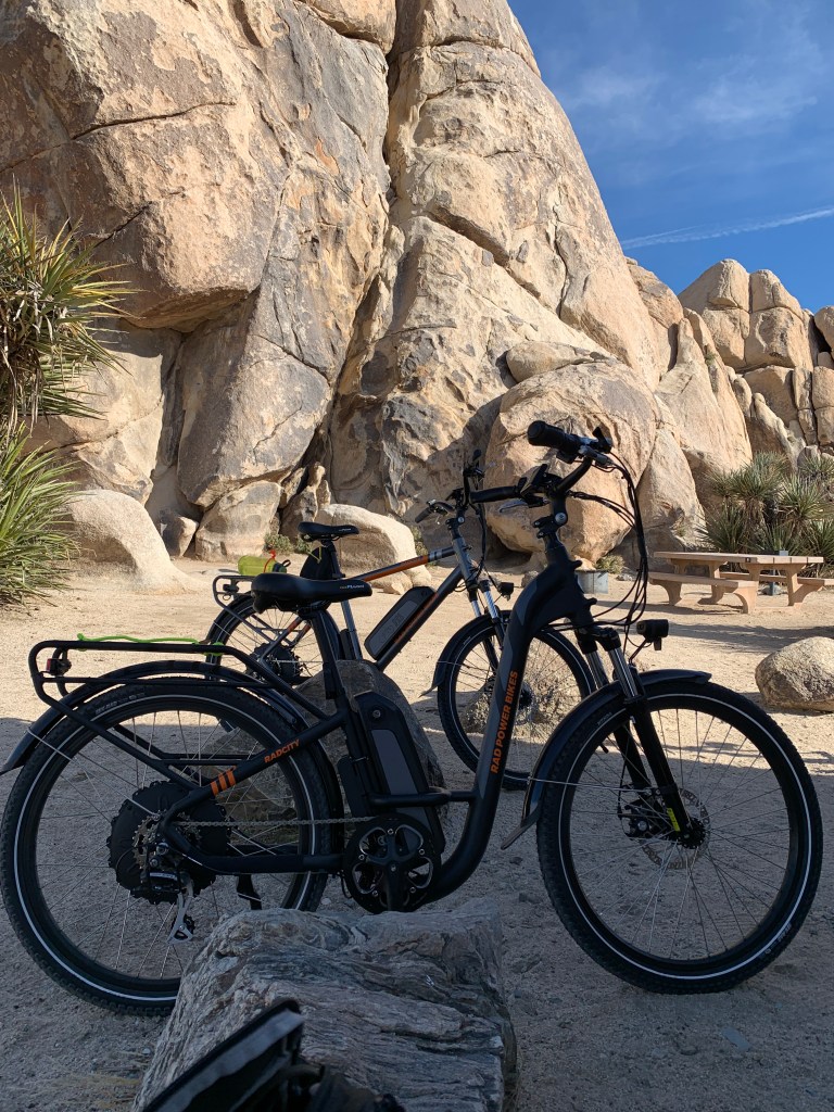
The Joshua TreesJust a coyote cruising around Joshua TreeSite No. 9 in Ryan Campground. It was perfect – backed into a sweet rocky spot and looking west to a gorgeous sunset. Our RAD e-bikes are RAD!!!Keeping up with the Joneses.
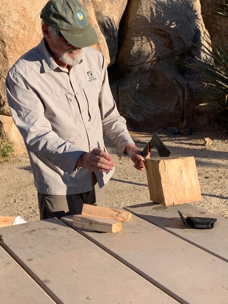
Testing out the sweet hatchet that John received as a retirement/parting gift from Mona
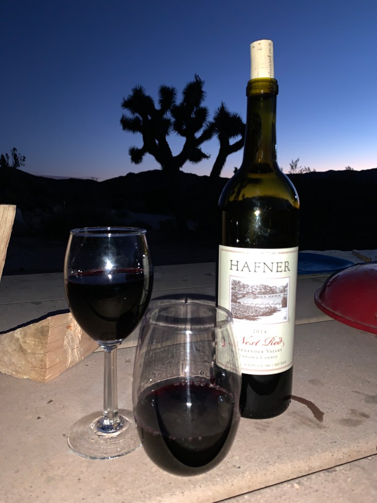
What a view!
Our delish bon voyage gift from Carol & Monroe! Thanks, guys, it was perfect!
We finally got to ride the ebikes more than around in circles in the street, and went on a leisurely 10 mile bike ride up to one of the big rock climbing and camping areas, Hidden Valley Campground. There were many climbers and people camping there, and I’m actually happy we got our little spot farther away; ours was so peaceful and quiet. When we left on Wednesday morning, the forecasted wind was howling, chairs were falling over, poor cyclists were practically standing still pedaling into the headwinds. It was the perfect time to leave.
Entrance to Ryan CampgroundWhat do you see? I see more rocks!Skull Rock
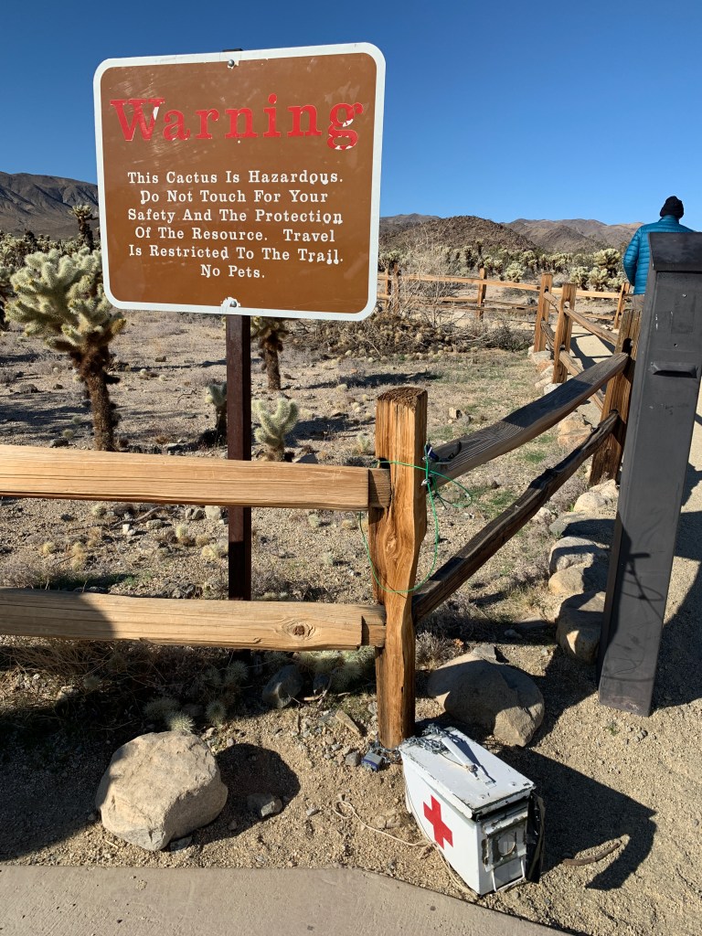
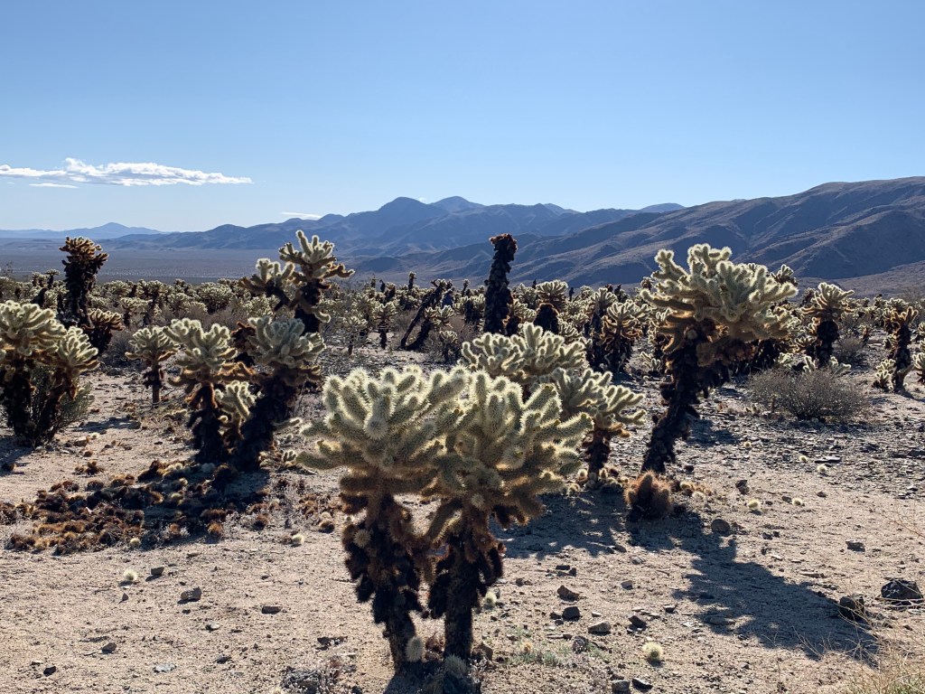
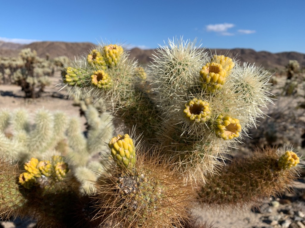
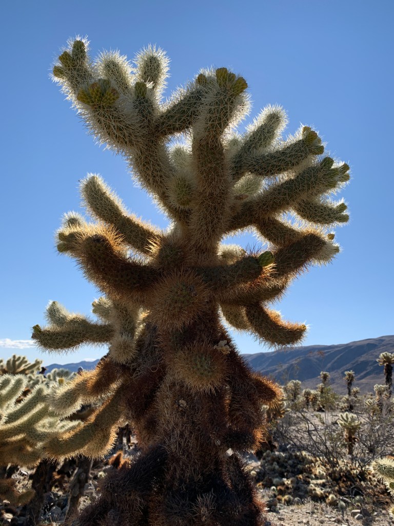
We drove through the center of the park, heading southeast, and stopped for a little stroll through a cool park feature called the Cholla Gardens. It was a weird area within the park where this one type of cactus grows densely, and the park service has created a little walking trail so people don’t go doing dumb-ass stuff and hurt themselves. There is a first aid kit at the beginning of the trail, so you know very well that the dumb-asses get hurt anyways, but there you go – they’re out there anyways!
And just in case you can’t read the warning signs and stay on the distinct pathway, here is a 1st Aid Kit.Cholla (pronounced Choya) GardensSupposedly the cholla flower tips taste like asparagus when cooked & eaten.More cholla cactus
Quite a drop down out of a deceptively high elevation, we exited JTNP where the road intersects Interstate 10, and hung a left and headed east. We stopped off at a spot for fuel (ultra low sulphur diesel, or Diesel #2), and there happened to be a General George S. Patton Museum right there, so we got out of the wind and went in for a look. Nic Carlon (John’s dad) was in Patton’s 3rd Army and John recently was going through some of the correspondence and other items that Nic had saved from his tumultuous time in multiple campaigns in WWII, so this was interesting to us. It was also interesting that the Metropolitan Water District of Los Angeles had a ginormous graphic display of water distribution in the lobby of this museum, and that they were a major donor for it.
I only took this one photo at the Patton Museum, it seemed relevant to current times.
Back on the road east, the View was bounced around by the super high winds, the ones that were so strong that they blew Trump’s (new but not new) border wall over onto the Mexican side….
Thanks for joining us! We want to share some highlights of our road trip with you, so keep an eye out for periodic updates. This is our first blog attempt, so bear with us! All photos and commentary belong to us, unless otherwise noted.
The journey is the destination. — Dan Eldon
On the bank of the Colorado River – looks a little different than Lava Falls!